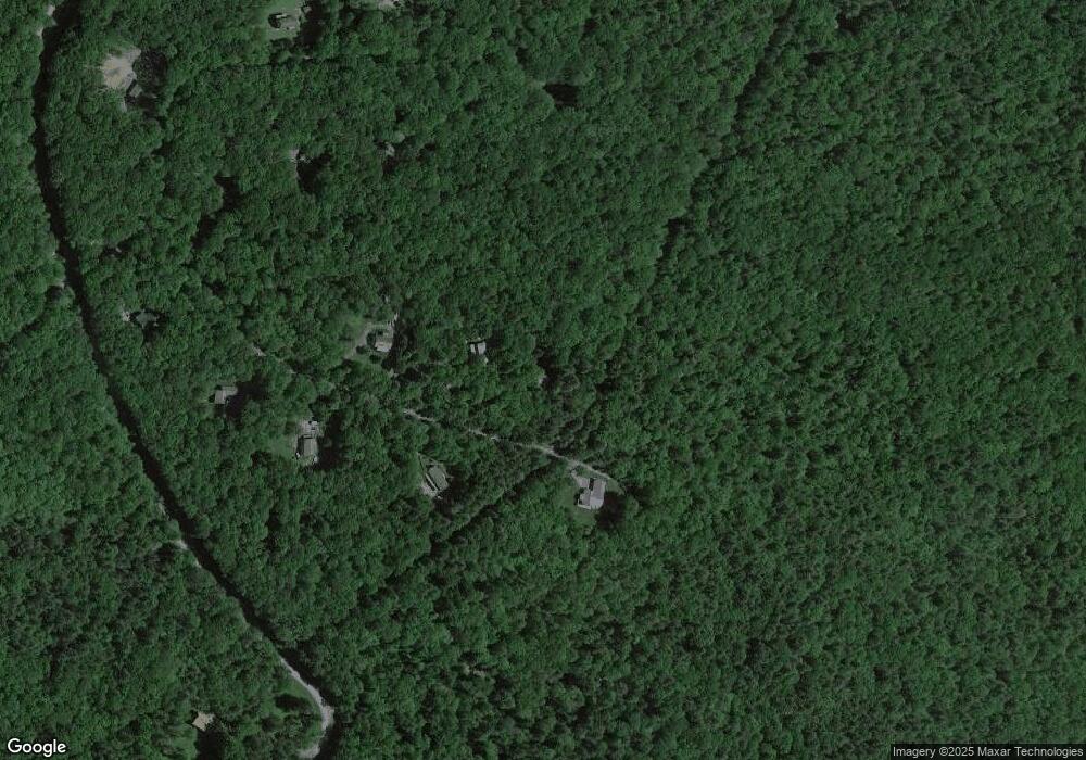
145 Pauls Ln Lock Haven, PA 17745
Estimated Value: $149,302 - $238,000
2
Beds
1
Bath
1,108
Sq Ft
$186/Sq Ft
Est. Value
About This Home
This home is located at 145 Pauls Ln, Lock Haven, PA 17745 and is currently estimated at $205,826, approximately $185 per square foot. 145 Pauls Ln is a home located in Clinton County.
Ownership History
Date
Name
Owned For
Owner Type
Purchase Details
Closed on
Feb 3, 2011
Sold by
Povilaitis Edward J and Povilaitis June M
Bought by
Slonaker Walter
Current Estimated Value
Purchase Details
Closed on
Oct 26, 2009
Sold by
Young John R and Young Denise
Bought by
Young John and Young Denise
Home Financials for this Owner
Home Financials are based on the most recent Mortgage that was taken out on this home.
Original Mortgage
$124,135
Interest Rate
4.33%
Mortgage Type
FHA
Purchase Details
Closed on
Aug 19, 2002
Bought by
Slonaker Walter
Create a Home Valuation Report for This Property
The Home Valuation Report is an in-depth analysis detailing your home's value as well as a comparison with similar homes in the area
Home Values in the Area
Average Home Value in this Area
Purchase History
| Date | Buyer | Sale Price | Title Company |
|---|---|---|---|
| Slonaker Walter | $110,000 | None Available | |
| Young John | -- | None Available | |
| Slonaker Walter | $48,500 | -- |
Source: Public Records
Mortgage History
| Date | Status | Borrower | Loan Amount |
|---|---|---|---|
| Previous Owner | Young John | $124,135 |
Source: Public Records
Tax History Compared to Growth
Tax History
| Year | Tax Paid | Tax Assessment Tax Assessment Total Assessment is a certain percentage of the fair market value that is determined by local assessors to be the total taxable value of land and additions on the property. | Land | Improvement |
|---|---|---|---|---|
| 2025 | $1,894 | $87,600 | $26,700 | $60,900 |
| 2024 | $1,850 | $87,600 | $26,700 | $60,900 |
| 2023 | $1,758 | $87,600 | $26,700 | $60,900 |
| 2022 | $1,758 | $87,600 | $26,700 | $60,900 |
| 2021 | $1,771 | $87,600 | $26,700 | $60,900 |
| 2020 | $1,773 | $87,600 | $0 | $0 |
| 2019 | $1,732 | $87,600 | $0 | $0 |
| 2018 | $1,694 | $87,600 | $0 | $0 |
| 2017 | $1,667 | $87,600 | $0 | $0 |
| 2016 | $1,638 | $87,600 | $0 | $0 |
| 2015 | $1,589 | $87,600 | $0 | $0 |
| 2014 | $1,562 | $87,600 | $0 | $0 |
Source: Public Records
Map
Nearby Homes
- 0 Old Dirt Rd Unit WB-101436
- 81 Irish Ln
- 2164 Bear Pen Hollow Rd
- 7394 Carrier Rd
- 176 Mountain Stone Trail
- 17776 N State Route 44
- 17798 Pennsylvania 44
- 11 Mikes Peak
- 20 Whippoorwill Ln
- 155 Honeysuckle Ln
- 68 Sassafras Ln
- 169 Hillside Dr
- 516 German Rd
- 18 N 3rd St
- 10641 N Route 44 Hwy
- 601 Dutch Hollow Rd
- 989 Renovo Rd
- 422 Big Plum Run Rd
- 2021 W Side Rd
- 1563 Torbert Ln
- 133 Pauls Ln
- 156 Pauls Ln
- 107 Pauls Ln
- 76 Pauls Ln
- 102 Gobblers Knob Ln
- 59 Pauls Ln
- 3236 Queens Run Rd
- 78 Gobblers Knob Ln
- Lot #2 Gobblers Knob Ln
- 24 Pauls Ln
- 105 Gobblers Knob Ln
- 0 Gobblers Knob Ln
- 23 Gobblers Knob Ln
- 23 Gobblers Knob Ln
- 45 Gobblers Knob Ln
- 77 Gobblers Knob Ln
- 64 Hollow Rd
- 3570 Queens Run Rd
- 61 Sawdust Ln
- 155 Sawdust Ln
