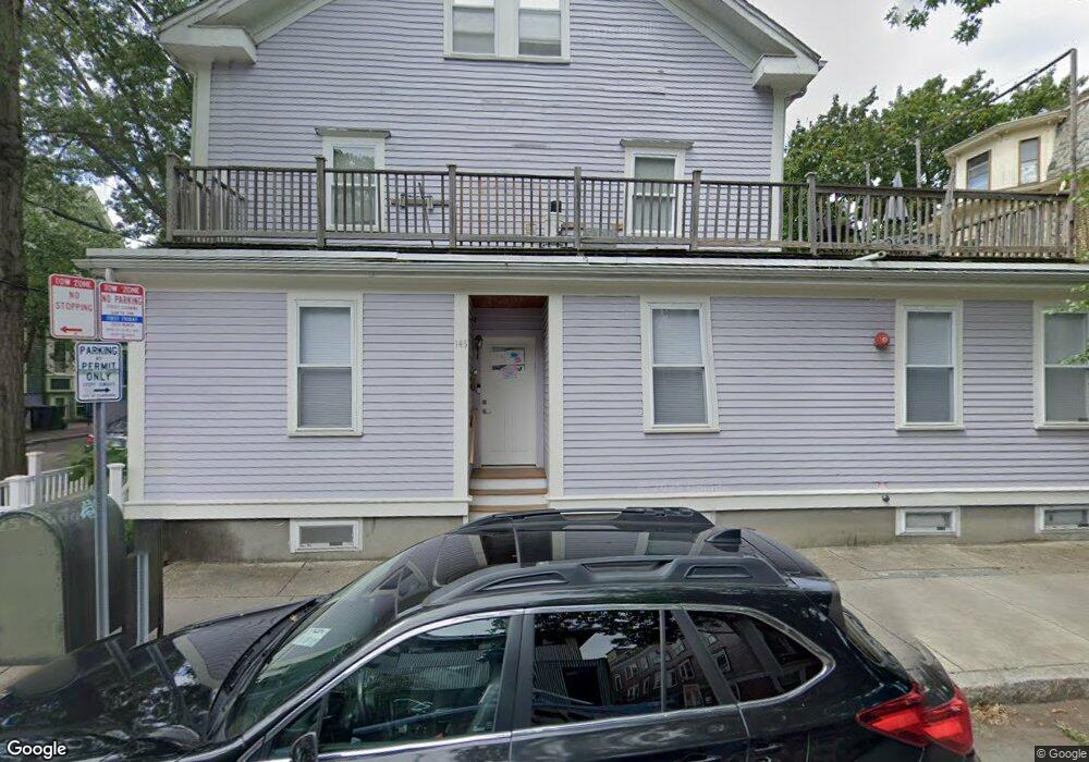
145 Pearl St Cambridge, MA 02139
Cambridgeport NeighborhoodEstimated Value: $1,127,608
4
Beds
3
Baths
2,000
Sq Ft
$564/Sq Ft
Est. Value
About This Home
This home is located at 145 Pearl St, Cambridge, MA 02139 and is currently estimated at $1,127,608, approximately $563 per square foot. 145 Pearl St is a home located in Middlesex County with nearby schools including Prospect Hill Academy Charter School.
Ownership History
Date
Name
Owned For
Owner Type
Purchase Details
Closed on
Apr 14, 2022
Sold by
Qualman Assoc General Prt
Bought by
District Ten Cap 6 Llc
Current Estimated Value
Home Financials for this Owner
Home Financials are based on the most recent Mortgage that was taken out on this home.
Original Mortgage
$777,000
Outstanding Balance
$722,556
Interest Rate
3.35%
Mortgage Type
Adjustable Rate Mortgage/ARM
Estimated Equity
$405,052
Purchase Details
Closed on
May 6, 1998
Sold by
Pearl-Lawrence T T and Pearl-Lawrence Danesh
Bought by
Qualman Assocs Gnl Ptn
Create a Home Valuation Report for This Property
The Home Valuation Report is an in-depth analysis detailing your home's value as well as a comparison with similar homes in the area
Home Values in the Area
Average Home Value in this Area
Purchase History
| Date | Buyer | Sale Price | Title Company |
|---|---|---|---|
| District Ten Cap 6 Llc | $1,110,000 | None Available | |
| District Ten Cap 6 Llc | $1,110,000 | None Available | |
| Qualman Assocs Gnl Ptn | $495,000 | -- |
Source: Public Records
Mortgage History
| Date | Status | Borrower | Loan Amount |
|---|---|---|---|
| Open | District Ten Cap 6 Llc | $777,000 | |
| Closed | District Ten Cap 6 Llc | $777,000 | |
| Previous Owner | Qualman Assocs Gnl Ptn | $300,000 |
Source: Public Records
Tax History
| Year | Tax Paid | Tax Assessment Tax Assessment Total Assessment is a certain percentage of the fair market value that is determined by local assessors to be the total taxable value of land and additions on the property. | Land | Improvement |
|---|---|---|---|---|
| 2025 | $18,641 | $0 | $0 | $0 |
| 2024 | $18,641 | $0 | $0 | $0 |
| 2023 | $18,641 | $3,181,100 | $1,374,000 | $1,807,100 |
| 2022 | $17,279 | $2,918,700 | $1,284,000 | $1,634,700 |
| 2021 | $17,522 | $2,995,200 | $1,200,000 | $1,795,200 |
| 2020 | $15,948 | $2,773,500 | $1,170,000 | $1,603,500 |
| 2019 | $5,618 | $2,498,700 | $1,017,600 | $1,481,100 |
| 2018 | $14,034 | $2,231,100 | $885,000 | $1,346,100 |
| 2017 | $13,164 | $2,028,300 | $840,000 | $1,188,300 |
| 2016 | $12,659 | $1,811,000 | $642,000 | $1,169,000 |
| 2015 | $12,170 | $1,556,300 | $516,000 | $1,040,300 |
| 2014 | $11,671 | $1,392,700 | $480,000 | $912,700 |
Source: Public Records
Map
Nearby Homes
- 10 Corporal McTernan St Unit 406
- 8 Valentine St Unit 8
- 6 Valentine St Unit 10
- 201 Pearl St Unit 2
- 131 Erie St Unit 2
- 6 Watson St Unit 1
- 39 Cottage St
- 20 Chalk St
- 174 Hamilton St
- 22 Magazine
- 104-106 Auburn St
- 127 Auburn St
- 129 Auburn St
- 62 Pearl St
- 300 Franklin St Unit 5
- 300 Franklin St Unit 1
- 44-46 Western Ave
- 280 Green St
- 13 Howard St Unit 1
- 138 Pleasant St Unit 138
- 145 Pearl St Unit 145
- 145 Pearl St Unit 1
- 5 Lawrence St Unit 2
- 7 Lawrence St
- 5 Lawrence St
- 9 Lawrence St
- 141 Pearl St
- 141 Pearl St Unit 1
- 11 Lawrence St Unit 11-1
- 11 Lawrence St
- 11 Lawrence St Unit 11B
- 11 Lawrence St Unit B
- 11 Lawrence St Unit 1
- 135-139 Pearl St Unit 1
- 135 Pearl St Unit 139
- 135 Pearl St Unit 139
- 135 Pearl St Unit 139
- 135 Pearl St Unit 139
- 135 Pearl St Unit 139
- 135 Pearl St Unit 139
Your Personal Tour Guide
Ask me questions while you tour the home.