145 Pettit Ridge Rd Ellijay, GA 30536
Estimated Value: $397,000 - $655,000
2
Beds
2
Baths
2,016
Sq Ft
$254/Sq Ft
Est. Value
About This Home
This home is located at 145 Pettit Ridge Rd, Ellijay, GA 30536 and is currently estimated at $511,834, approximately $253 per square foot. 145 Pettit Ridge Rd is a home with nearby schools including Ellijay Elementary School, Clear Creek Elementary School, and Clear Creek Middle School.
Ownership History
Date
Name
Owned For
Owner Type
Purchase Details
Closed on
Sep 13, 2000
Sold by
Ford William W
Bought by
Ford William W and Ford E
Current Estimated Value
Purchase Details
Closed on
Jun 1, 1998
Sold by
Ford Elisa S
Bought by
Ford William W
Purchase Details
Closed on
Aug 1, 1991
Sold by
Ford William W
Bought by
Ford William W
Purchase Details
Closed on
Apr 1, 1987
Sold by
Ford William W
Bought by
Ford William W
Purchase Details
Closed on
Nov 1, 1986
Sold by
Ford William W
Bought by
Ford William W
Create a Home Valuation Report for This Property
The Home Valuation Report is an in-depth analysis detailing your home's value as well as a comparison with similar homes in the area
Home Values in the Area
Average Home Value in this Area
Purchase History
| Date | Buyer | Sale Price | Title Company |
|---|---|---|---|
| Ford William W | -- | -- | |
| Ford William W | -- | -- | |
| Ford William W | -- | -- | |
| Ford William W | -- | -- | |
| Ford William W | -- | -- |
Source: Public Records
Tax History Compared to Growth
Tax History
| Year | Tax Paid | Tax Assessment Tax Assessment Total Assessment is a certain percentage of the fair market value that is determined by local assessors to be the total taxable value of land and additions on the property. | Land | Improvement |
|---|---|---|---|---|
| 2025 | $320 | $131,572 | $27,280 | $104,292 |
| 2024 | $320 | $132,452 | $27,280 | $105,172 |
| 2023 | $329 | $127,972 | $22,800 | $105,172 |
| 2022 | $342 | $113,092 | $23,360 | $89,732 |
| 2021 | $332 | $84,732 | $20,280 | $64,452 |
| 2020 | $370 | $72,000 | $20,280 | $51,720 |
| 2019 | $387 | $72,000 | $20,280 | $51,720 |
| 2018 | $496 | $70,080 | $19,200 | $50,880 |
| 2017 | $492 | $59,640 | $19,200 | $40,440 |
| 2016 | $1,363 | $60,160 | $19,200 | $40,960 |
| 2015 | $1,146 | $48,400 | $12,880 | $35,520 |
| 2014 | $977 | $40,280 | $12,880 | $27,400 |
| 2013 | -- | $44,080 | $15,480 | $28,600 |
Source: Public Records
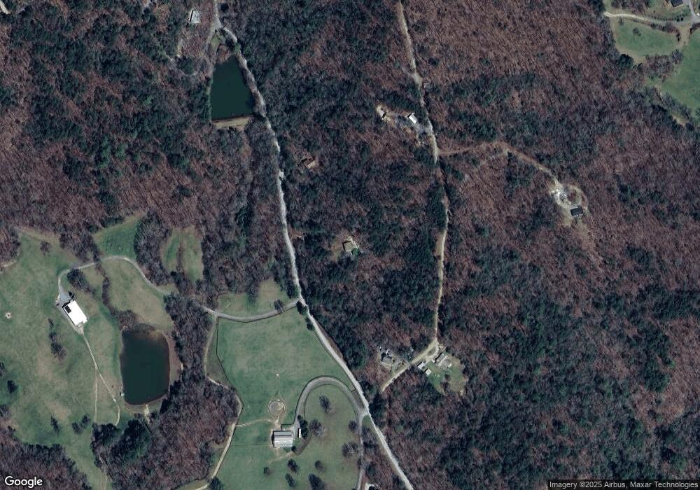
Map
Nearby Homes
- Lot 9 Cherokee Cir Unit 9
- Lot 9 Cherokee Cir
- Lot 58 Cherokee Cir
- Lot 10 Cherokee Cir Unit 10
- Lot 10 Cherokee Cir
- 2001 Big Creek Rd
- 380 Rainbow Mountain Dr
- 615 Cherokee Cir
- 768 Cherokee Cir
- 34 Garrett Dr
- 115 Beauregard Ln
- LOT 39 Preserve Trail
- LOT 40 Preserve Trail
- 48 Riverwood Trail
- 373 Scrougetown Rd
- 418 Cartecay River Run
- 418 Cartecay River Run Unit 20
- 1614 Roy Rd
- Lot 10 Cartecay River Run
- 450 Cartecay River Run Unit 18
- 672 Pettit Rd
- 635 Pettit Rd
- 41 Pettit Ridge Rd
- 273 Pettit Ridge Rd
- 70 Pettit Ridge Rd
- 4ACRE Pettit Ridge Rd
- 0 Pettit Ridge Rd Unit 1 7565308
- 0 Pettit Ridge Rd
- 0 Pettit Ridge Rd Unit 10035804
- 0 Pettit Ridge Rd Unit 10035829
- 0 Pettit Ridge Rd Unit 10035811
- 0 Pettit Ridge Rd Unit 8139688
- 0 Pettit Ridge Rd Unit 8891399
- 0 Pettit Ridge Rd Unit 8498302
- 40 Pettit Ridge Rd
- 1 Pettit Ridge Rd
- 14 AC Pettit Rd
- LT 7 Pettit Rd
- 14AC Pettit Rd
- 457 Pettit Rd