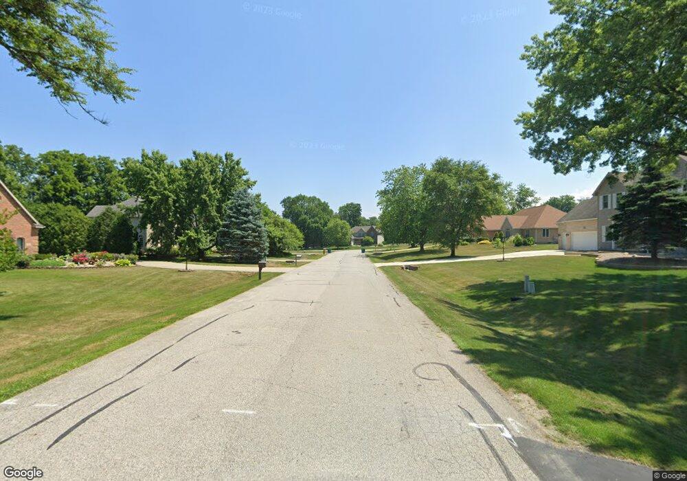
145 Pheasant Dr Porter, IN 46304
Estimated Value: $346,000 - $390,000
About This Home
This home is located at 145 Pheasant Dr, Porter, IN 46304 and is currently estimated at $370,649, approximately $187 per square foot. 145 Pheasant Dr is a home located in Porter County with nearby schools including Newton Yost Elementary School, Westchester Intermediate School, and Chesterton Middle School.
Ownership History
We collect this data history from publicly available records. To have your information removed, we recommend requesting removal directly through your county’s website.
Purchase Details
Home Financials for this Owner
Home Financials are based on the most recent Mortgage that was taken out on this home.Purchase Details
Home Financials for this Owner
Home Financials are based on the most recent Mortgage that was taken out on this home.Purchase Details
Home Financials for this Owner
Home Financials are based on the most recent Mortgage that was taken out on this home.Home Values in the Area
Average Home Value in this Area
Purchase History
We collect this data history from publicly available records. To have your information removed, we recommend requesting removal directly through your county’s website.
| Date | Buyer | Sale Price | Title Company |
|---|---|---|---|
| -- | -- | ||
| $202,100 | Landamerica Lawyers Title | ||
| $202,100 | Landamerica Lawyers Title |
Mortgage History
We collect this data history from publicly available records. To have your information removed, we recommend requesting removal directly through your county’s website.
| Date | Status | Borrower | Loan Amount |
|---|---|---|---|
| Previous Owner | $336,055 | ||
| Previous Owner | $150,000 | ||
| Previous Owner | $31,800 |
Tax History
We collect this data history from publicly available records. To have your information removed, we recommend requesting removal directly through your county’s website.
| Year | Tax Paid | Tax Assessment Tax Assessment Total Assessment is a certain percentage of the fair market value that is determined by local assessors to be the total taxable value of land and additions on the property. | Land | Improvement |
|---|---|---|---|---|
| 2025 | $3,843 | $358,400 | $53,400 | $305,000 |
| 2024 | $3,648 | $347,700 | $53,400 | $294,300 |
| 2023 | $3,628 | $334,500 | $49,400 | $285,100 |
| 2022 | $3,423 | $310,500 | $49,400 | $261,100 |
| 2021 | $3,090 | $274,800 | $49,400 | $225,400 |
| 2020 | $2,949 | $262,500 | $43,000 | $219,500 |
| 2019 | $2,483 | $221,700 | $43,000 | $178,700 |
| 2018 | $2,418 | $216,000 | $43,000 | $173,000 |
| 2017 | $2,273 | $203,300 | $43,000 | $160,300 |
| 2016 | $2,344 | $209,500 | $44,600 | $164,900 |
| 2014 | $2,094 | $189,200 | $40,300 | $148,900 |
| 2013 | -- | $184,900 | $41,200 | $143,700 |
Map
- 187 Fieldstone Dr
- 860 Quail Ridge Dr
- 1123 Waverly Rd
- 103 Summertree Dr
- 1395 Waverly Rd
- 1504 Waverly Rd
- 0 U S 12
- 510 E Oak Hill Rd
- 590 E Oak Hill Rd
- 1251 N Mineral Springs Rd
- 103 Michigan St
- 407 Michigami Trail
- 270 Woodlawn Ave
- 200 Wagner Rd
- 150 16th St
- 131 N 18th St
- 332 Carey Ln
- 214 Woodlawn Ave
- 326 Brown Ct
- 000 Grady St
- 140 Pheasant Dr
- 130 Pheasant Dr
- 130 Pheasant Run
- 150 Pheasant Run
- 150 Pheasant Dr
- 150 Pheasant Run
- 120 Pheasant Dr
- 120 Pheasant Run
- 160 Pheasant Run
- 145 Pheasant Run
- 155 Pheasant Run
- 110 W Oak Hill Rd
- 50 Pheasant Run
- 110 Pheasant Dr
- 110 Pheasant Run
- 120 W Oak Hill Rd
- 135 Pheasant Run
- 130 W Oak Hill Rd
- 100 W Oak Hill Rd
- 165 Pheasant Dr
Ask me questions while you tour the home.