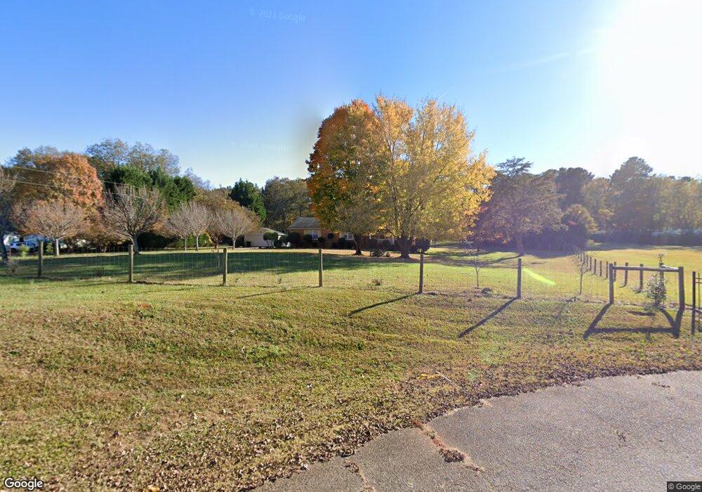
145 Price Dr W Locust Grove, GA 30248
Estimated Value: $332,000 - $398,000
3
Beds
2
Baths
1,863
Sq Ft
$192/Sq Ft
Est. Value
About This Home
This home is located at 145 Price Dr W, Locust Grove, GA 30248 and is currently estimated at $357,070, approximately $191 per square foot. 145 Price Dr W is a home located in Henry County with nearby schools including Unity Grove Elementary School, Locust Grove Middle School, and Locust Grove High School.
Ownership History
Date
Name
Owned For
Owner Type
Purchase Details
Closed on
Jul 28, 2020
Sold by
Sheirling Joseph Thomas
Bought by
Sheirling Azam Molook
Current Estimated Value
Purchase Details
Closed on
Feb 10, 1998
Sold by
Tomlinson Leo R and Tomlinson Jo Anne H
Bought by
Sheirling Joseph Thomas and Sheirling Azam Molook
Create a Home Valuation Report for This Property
The Home Valuation Report is an in-depth analysis detailing your home's value as well as a comparison with similar homes in the area
Home Values in the Area
Average Home Value in this Area
Purchase History
| Date | Buyer | Sale Price | Title Company |
|---|---|---|---|
| Sheirling Azam Molook | -- | -- | |
| Sheirling Joseph Thomas | $155,000 | -- |
Source: Public Records
Tax History Compared to Growth
Tax History
| Year | Tax Paid | Tax Assessment Tax Assessment Total Assessment is a certain percentage of the fair market value that is determined by local assessors to be the total taxable value of land and additions on the property. | Land | Improvement |
|---|---|---|---|---|
| 2025 | $768 | $145,560 | $17,520 | $128,040 |
| 2024 | $768 | $122,760 | $15,800 | $106,960 |
| 2023 | $593 | $116,880 | $15,200 | $101,680 |
| 2022 | $749 | $106,520 | $14,040 | $92,480 |
| 2021 | $739 | $84,720 | $12,040 | $72,680 |
| 2020 | $739 | $73,760 | $11,360 | $62,400 |
| 2019 | $745 | $68,280 | $10,760 | $57,520 |
| 2018 | $0 | $64,680 | $9,960 | $54,720 |
| 2016 | $745 | $63,960 | $8,760 | $55,200 |
| 2015 | -- | $55,120 | $9,880 | $45,240 |
| 2014 | -- | $51,280 | $9,880 | $41,400 |
Source: Public Records
Map
Nearby Homes
- 75 Price Dr W
- 104 Waratah Dr
- 340 Colvin Dr
- 825 S Bethany Rd
- 3305 Hancock Point
- 5009 Yankee Doodle Dr
- 3227 Puritan Way
- 390 Coan Dr
- 1579 S Bethany Rd
- 560 Coan Dr
- 943 Colvin Dr
- 5120 Redcoat Ln
- 167 Classica Dr
- 8008 Revere Dr Unit 1
- 435 Rabbit Run
- 1141 Abundance Dr
- 1129 Abundance Dr
- 9054 Dawes Crossing
- 551 Rosalind Terrace
- 135 Price Dr W
- 155 Price Dr W
- 1206 Davis Lake Rd
- 162 Price Dr W
- 160 Price Dr W
- 140 Price Dr W
- 125 Price Dr W
- 1208 Davis Lake Rd
- 115 Price Dr W
- 120 Price Dr W
- 1338 Davis Lake Rd
- 105 Price Dr W
- 1358 Davis Lake Rd
- 85 Price Dr W
- 170 Pine Grove Rd
- 311 Pine Grove Rd
- 70 Price Dr W
- 72 Price Dr W
- 1333 Davis Lake Rd
- 1460 Davis Lake Rd
