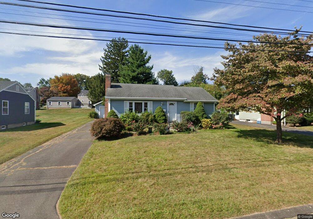
145 Randal Ave West Hartford, CT 06110
Estimated Value: $350,000 - $362,000
3
Beds
1
Bath
1,120
Sq Ft
$317/Sq Ft
Est. Value
About This Home
This home is located at 145 Randal Ave, West Hartford, CT 06110 and is currently estimated at $355,176, approximately $317 per square foot. 145 Randal Ave is a home located in Hartford County with nearby schools including Wolcott School, Sedgwick Middle School, and Conard High School.
Ownership History
Date
Name
Owned For
Owner Type
Purchase Details
Closed on
Nov 21, 2024
Sold by
Gilberte Jean
Bought by
Greenbaum Jason
Current Estimated Value
Home Financials for this Owner
Home Financials are based on the most recent Mortgage that was taken out on this home.
Original Mortgage
$266,500
Outstanding Balance
$263,945
Interest Rate
6.32%
Mortgage Type
Purchase Money Mortgage
Estimated Equity
$91,231
Purchase Details
Closed on
Oct 15, 2003
Sold by
Livingston Christine M and Livingston Michael J
Bought by
Sirois Jean G
Purchase Details
Closed on
Jun 1, 1988
Sold by
Gineo M J
Bought by
Livingston M J
Create a Home Valuation Report for This Property
The Home Valuation Report is an in-depth analysis detailing your home's value as well as a comparison with similar homes in the area
Home Values in the Area
Average Home Value in this Area
Purchase History
| Date | Buyer | Sale Price | Title Company |
|---|---|---|---|
| Greenbaum Jason | $333,125 | None Available | |
| Greenbaum Jason | $333,125 | None Available | |
| Sirois Jean G | $179,000 | -- | |
| Sirois Jean G | $179,000 | -- | |
| Livingston M J | $163,000 | -- |
Source: Public Records
Mortgage History
| Date | Status | Borrower | Loan Amount |
|---|---|---|---|
| Open | Greenbaum Jason | $266,500 | |
| Closed | Greenbaum Jason | $266,500 | |
| Previous Owner | Livingston M J | $65,000 | |
| Previous Owner | Livingston M J | $20,000 | |
| Previous Owner | Livingston M J | $13,500 |
Source: Public Records
Tax History Compared to Growth
Tax History
| Year | Tax Paid | Tax Assessment Tax Assessment Total Assessment is a certain percentage of the fair market value that is determined by local assessors to be the total taxable value of land and additions on the property. | Land | Improvement |
|---|---|---|---|---|
| 2025 | $6,696 | $149,520 | $55,230 | $94,290 |
| 2024 | $6,332 | $149,520 | $55,230 | $94,290 |
| 2023 | $6,118 | $149,520 | $55,230 | $94,290 |
| 2022 | $6,082 | $149,520 | $55,230 | $94,290 |
| 2021 | $5,814 | $137,060 | $53,130 | $83,930 |
| 2020 | $5,135 | $122,850 | $44,730 | $78,120 |
| 2019 | $4,901 | $117,250 | $44,730 | $72,520 |
| 2018 | $4,807 | $117,250 | $44,730 | $72,520 |
| 2017 | $4,812 | $117,250 | $44,730 | $72,520 |
| 2016 | $4,879 | $123,480 | $52,010 | $71,470 |
| 2015 | $4,731 | $123,480 | $52,010 | $71,470 |
| 2014 | $4,614 | $123,480 | $52,010 | $71,470 |
Source: Public Records
Map
Nearby Homes
- 305 Hampton Ct
- 20 Surrey Dr Unit B16 aka B4
- 148 Colonial St
- 107 Westgate St
- 54 Red Top Dr
- 479 S Main St
- 61 Colonial St
- 18 Federal St
- 24 Thorne Rd Unit 24
- 16 Thornton Dr
- 121 Cambridge St
- 49 Somerset St
- 25 Fowler Dr
- 31 Dacosta Dr
- 41 Page Ave
- 47 Francis Dr
- 228 Reservoir Rd
- 422 S Main St
- 1145 New Britain Ave
- 29 Sunnyside Rd