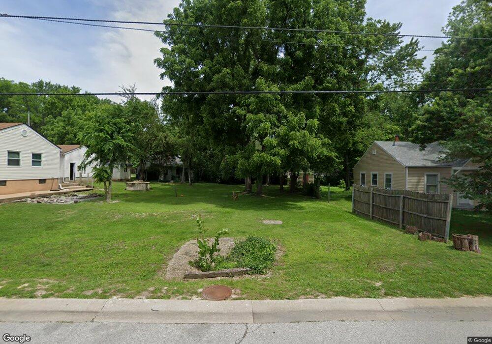
145 Reasor Dr Saint Louis, MO 63135
Estimated Value: $58,000 - $189,000
Studio
--
Bath
--
Sq Ft
6,273
Sq Ft Lot
About This Home
This home is located at 145 Reasor Dr, Saint Louis, MO 63135 and is currently estimated at $102,333. 145 Reasor Dr is a home located in St. Louis County with nearby schools including Walnut Grove Elementary School, Ferguson Middle School, and McCluer High School.
Ownership History
Date
Name
Owned For
Owner Type
Purchase Details
Closed on
Sep 24, 2025
Sold by
Tyler Travis
Bought by
Green Michael
Current Estimated Value
Purchase Details
Closed on
Mar 18, 2025
Sold by
Collector Of Revenue
Bought by
Tyler Travis
Purchase Details
Closed on
Sep 15, 1999
Sold by
Woelfel Sharon and Woelfel Daniel
Bought by
Green Michael
Purchase Details
Closed on
Sep 7, 1999
Sold by
Patricia Zamboni and Patricia Kirk E
Bought by
Woelfel Daniel and Woelfel Sharon
Purchase Details
Closed on
Aug 17, 1999
Sold by
Patricia Zamboni
Bought by
Woelfel Sharon L
Create a Home Valuation Report for This Property
The Home Valuation Report is an in-depth analysis detailing your home's value as well as a comparison with similar homes in the area
Home Values in the Area
Average Home Value in this Area
Purchase History
| Date | Buyer | Sale Price | Title Company |
|---|---|---|---|
| Green Michael | $4,100 | None Listed On Document | |
| Tyler Travis | $1,505 | None Listed On Document | |
| Green Michael | $12,300 | -- | |
| Woelfel Daniel | -- | -- | |
| Woelfel Sharon L | $4,000 | -- |
Source: Public Records
Tax History
| Year | Tax Paid | Tax Assessment Tax Assessment Total Assessment is a certain percentage of the fair market value that is determined by local assessors to be the total taxable value of land and additions on the property. | Land | Improvement |
|---|---|---|---|---|
| 2025 | $54 | $1,960 | $1,960 | -- |
| 2024 | $54 | $780 | $780 | -- |
| 2023 | $54 | $780 | $780 | $0 |
| 2022 | $186 | $2,340 | $2,340 | $0 |
| 2021 | $185 | $2,340 | $2,340 | $0 |
| 2020 | $133 | $1,580 | $1,580 | $0 |
| 2019 | $129 | $1,580 | $1,580 | $0 |
| 2018 | $111 | $1,220 | $1,220 | $0 |
| 2017 | $110 | $1,220 | $1,220 | $0 |
| 2016 | $183 | $1,980 | $1,980 | $0 |
Source: Public Records
Map
Nearby Homes
- 135 Grether Ave
- 120 Grether Ave
- 968 Buckeye Dr
- 194 Elbring Dr
- 30 Grether Ave
- 25 Vierling Dr
- 6717 Thurston Ave
- 225 Sadonia Ave
- 8 Drummond Dr
- 6625 Thurston Ave
- 12 Thackery Ct
- 273 Buddie Ave
- 201 Becker Dr
- 8330 Red Fir Dr
- 116 Barto Dr
- 13 Barto Dr
- 242 Connolly Dr
- 8401 Saint Olaf Dr
- 233 Connolly Dr
- 847 N Florissant Rd
Your Personal Tour Guide
Ask me questions while you tour the home.