145 Reeder St Tillamook, OR 97141
Estimated Value: $617,000 - $672,000
4
Beds
3
Baths
1,971
Sq Ft
$323/Sq Ft
Est. Value
About This Home
This home is located at 145 Reeder St, Tillamook, OR 97141 and is currently estimated at $635,838, approximately $322 per square foot. 145 Reeder St is a home located in Tillamook County with nearby schools including Tillamook High School.
Ownership History
Date
Name
Owned For
Owner Type
Purchase Details
Closed on
Oct 20, 2008
Sold by
Deutsche Bank National Trust Company
Bought by
Bush Corey J
Current Estimated Value
Home Financials for this Owner
Home Financials are based on the most recent Mortgage that was taken out on this home.
Original Mortgage
$259,500
Outstanding Balance
$167,000
Interest Rate
5.77%
Mortgage Type
Purchase Money Mortgage
Estimated Equity
$468,838
Purchase Details
Closed on
Aug 8, 2008
Sold by
Helbig Charles and Helbig Marie
Bought by
Deutsche Bank National Trust Co and Certificateholders For Morgan Stanley Ab
Create a Home Valuation Report for This Property
The Home Valuation Report is an in-depth analysis detailing your home's value as well as a comparison with similar homes in the area
Home Values in the Area
Average Home Value in this Area
Purchase History
| Date | Buyer | Sale Price | Title Company |
|---|---|---|---|
| Bush Corey J | $325,000 | First American | |
| Deutsche Bank National Trust Co | -- | Accommodation |
Source: Public Records
Mortgage History
| Date | Status | Borrower | Loan Amount |
|---|---|---|---|
| Open | Bush Corey J | $259,500 |
Source: Public Records
Tax History Compared to Growth
Tax History
| Year | Tax Paid | Tax Assessment Tax Assessment Total Assessment is a certain percentage of the fair market value that is determined by local assessors to be the total taxable value of land and additions on the property. | Land | Improvement |
|---|---|---|---|---|
| 2024 | $5,062 | $401,800 | $100,420 | $301,380 |
| 2023 | $5,043 | $390,100 | $97,490 | $292,610 |
| 2022 | $4,902 | $378,740 | $94,650 | $284,090 |
| 2021 | $4,790 | $367,710 | $91,900 | $275,810 |
| 2020 | $4,675 | $357,000 | $89,220 | $267,780 |
| 2019 | $4,568 | $346,610 | $86,620 | $259,990 |
| 2018 | $4,326 | $336,520 | $84,090 | $252,430 |
| 2017 | $4,313 | $332,040 | $79,610 | $252,430 |
| 2016 | $4,196 | $323,940 | $81,230 | $242,710 |
| 2015 | $3,905 | $296,950 | $81,700 | $215,250 |
| 2014 | $3,874 | $289,450 | $97,890 | $191,560 |
| 2013 | -- | $293,570 | $158,190 | $135,380 |
Source: Public Records
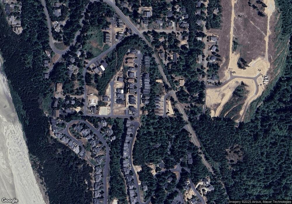
Map
Nearby Homes
- 0 Crescent St Unit 12&13 614513147
- 0 Crescent St Unit 12 & 13 25-409
- 0 Breezee Way Tl 2618
- 140 Breezee Way
- 140 Breezee Way
- 0 Breezee Way Unit 2Lots 24287783
- 0 Breezee Way Unit 2620/2621 23-90
- 0 Breezee Way Unit TL 2618 25-511
- 250 Capes Dr
- 0 Tl 2100 Grand Ave
- 5415 NW Grand Ave
- 5290 Netarts Hwy W
- 280 Hillsdale St
- 0 Glenwood St Unit Lots 6,7,8
- 0 Glenwood St Unit Lts6-8
- Lot 52 Hillsdale St
- Lot 51 Hillsdale St
- Lot 1 Highland Dr
- 455 Capes Dr
- 0 Hillsdale Unit VL 1142 560238393