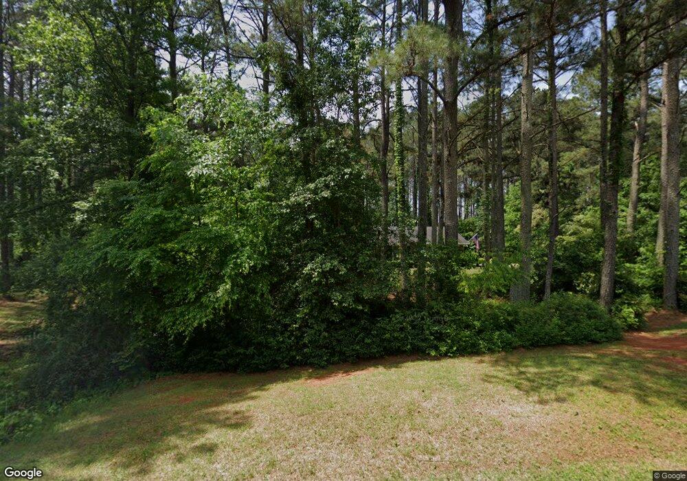
145 Rolling Brook Trail Fayetteville, GA 30215
Whitewater NeighborhoodEstimated Value: $447,000 - $527,000
--
Bed
2
Baths
2,100
Sq Ft
$227/Sq Ft
Est. Value
About This Home
This home is located at 145 Rolling Brook Trail, Fayetteville, GA 30215 and is currently estimated at $475,819, approximately $226 per square foot. 145 Rolling Brook Trail is a home located in Fayette County with nearby schools including Sara Harp Minter Elementary School, Whitewater Middle School, and Whitewater High School.
Ownership History
Date
Name
Owned For
Owner Type
Purchase Details
Closed on
Jun 29, 2007
Sold by
Stanley Donald L
Bought by
Rawson Michael and Rawson Rose
Current Estimated Value
Home Financials for this Owner
Home Financials are based on the most recent Mortgage that was taken out on this home.
Original Mortgage
$224,000
Outstanding Balance
$138,907
Interest Rate
6.35%
Mortgage Type
New Conventional
Estimated Equity
$336,912
Purchase Details
Closed on
Jun 29, 2006
Sold by
Turner Ruthe W
Bought by
Stanley Donald L and Turner Ruthe
Create a Home Valuation Report for This Property
The Home Valuation Report is an in-depth analysis detailing your home's value as well as a comparison with similar homes in the area
Home Values in the Area
Average Home Value in this Area
Purchase History
| Date | Buyer | Sale Price | Title Company |
|---|---|---|---|
| Rawson Michael | $280,000 | -- | |
| Stanley Donald L | -- | -- |
Source: Public Records
Mortgage History
| Date | Status | Borrower | Loan Amount |
|---|---|---|---|
| Open | Rawson Michael | $224,000 |
Source: Public Records
Tax History Compared to Growth
Tax History
| Year | Tax Paid | Tax Assessment Tax Assessment Total Assessment is a certain percentage of the fair market value that is determined by local assessors to be the total taxable value of land and additions on the property. | Land | Improvement |
|---|---|---|---|---|
| 2024 | $3,151 | $164,860 | $28,800 | $136,060 |
| 2023 | $2,758 | $158,160 | $28,800 | $129,360 |
| 2022 | $3,076 | $153,000 | $28,800 | $124,200 |
| 2021 | $2,772 | $119,240 | $16,000 | $103,240 |
| 2020 | $3,048 | $110,320 | $16,000 | $94,320 |
| 2019 | $2,935 | $105,200 | $16,000 | $89,200 |
| 2018 | $2,786 | $98,880 | $14,400 | $84,480 |
| 2017 | $2,475 | $87,840 | $14,400 | $73,440 |
| 2016 | $2,270 | $79,080 | $14,400 | $64,680 |
| 2015 | $2,136 | $73,280 | $14,400 | $58,880 |
| 2014 | $2,001 | $67,600 | $14,400 | $53,200 |
| 2013 | -- | $67,400 | $0 | $0 |
Source: Public Records
Map
Nearby Homes
- 122 Hawn Rd
- 135 Horseshoe Cir
- 210 Zelkova Dr
- 205 Avon Dr
- 175 Lockmeade Way
- 155 Redspire Ln
- 305 Sherwood Rd
- 360 Seawright Dr
- 140 Ralston Ct
- 115 Ebenezer Church Rd
- 100 Cherokee Place
- 145 Saddle Ridge Way
- 220 Saddle Ridge Way Unit 1
- 1452 Redwine Rd
- 145 Hideaway Dr
- 105 Roxbrough Ln Unit 7A
- 411 Elise Way
- 413 Elise Way
- 409 Elise Way
- 165 Hideaway Dr
- 135 Rolling Brook Trail Unit II
- 155 Rolling Brook Trail
- 130 Rolling Brook Trail
- 140 Rolling Brook Trail
- 125 Rolling Brook Trail
- 165 Rolling Brook Trail
- 0 Garrison Point
- 115 Garrison Point
- 150 Rolling Brook Trail
- 120 Bergen Dr
- 130 Bergen Dr
- 115 Rolling Brook Trail
- 110 Rolling Brook Trail
- 105 Garrison Point Unit 8
- 105 Garrison Point
- 175 Rolling Brook Trail
- 110 Garrison Point Unit 6
- 110 Garrison Point
- 140 Bergen Dr
- 150 Bergen Dr
