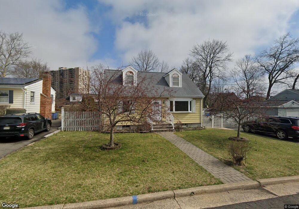
145 Runyon Ave Somerset, NJ 08873
Estimated Value: $484,000 - $581,000
--
Bed
--
Bath
1,856
Sq Ft
$282/Sq Ft
Est. Value
About This Home
This home is located at 145 Runyon Ave, Somerset, NJ 08873 and is currently estimated at $523,675, approximately $282 per square foot. 145 Runyon Ave is a home located in Somerset County with nearby schools including Franklin High School.
Ownership History
Date
Name
Owned For
Owner Type
Purchase Details
Closed on
Dec 28, 2001
Sold by
Zahirny Nicholas
Bought by
Caravasi Daniel
Current Estimated Value
Home Financials for this Owner
Home Financials are based on the most recent Mortgage that was taken out on this home.
Original Mortgage
$209,000
Outstanding Balance
$85,650
Interest Rate
7.08%
Estimated Equity
$438,025
Purchase Details
Closed on
Dec 22, 1993
Sold by
Reilly Kevin
Bought by
Zahirny Gabrielle and Zahirny Nicholas
Home Financials for this Owner
Home Financials are based on the most recent Mortgage that was taken out on this home.
Original Mortgage
$95,000
Interest Rate
7%
Purchase Details
Closed on
Oct 31, 1989
Sold by
Werner Donald S and Werner Margaret M
Bought by
Reilly Kevin G and Reilly Suzanne
Create a Home Valuation Report for This Property
The Home Valuation Report is an in-depth analysis detailing your home's value as well as a comparison with similar homes in the area
Home Values in the Area
Average Home Value in this Area
Purchase History
| Date | Buyer | Sale Price | Title Company |
|---|---|---|---|
| Caravasi Daniel | $220,000 | -- | |
| Zahirny Gabrielle | $110,000 | -- | |
| Reilly Kevin G | $135,000 | -- |
Source: Public Records
Mortgage History
| Date | Status | Borrower | Loan Amount |
|---|---|---|---|
| Open | Caravasi Daniel | $209,000 | |
| Previous Owner | Zahirny Gabrielle | $95,000 |
Source: Public Records
Tax History Compared to Growth
Tax History
| Year | Tax Paid | Tax Assessment Tax Assessment Total Assessment is a certain percentage of the fair market value that is determined by local assessors to be the total taxable value of land and additions on the property. | Land | Improvement |
|---|---|---|---|---|
| 2025 | $7,035 | $442,100 | $264,800 | $177,300 |
| 2024 | $7,035 | $386,100 | $264,800 | $121,300 |
| 2023 | $6,862 | $353,700 | $232,400 | $121,300 |
| 2022 | $6,834 | $333,700 | $212,400 | $121,300 |
| 2021 | $6,547 | $293,700 | $172,400 | $121,300 |
| 2020 | $6,145 | $268,700 | $147,400 | $121,300 |
| 2019 | $5,997 | $258,700 | $137,400 | $121,300 |
| 2018 | $5,590 | $238,700 | $117,400 | $121,300 |
| 2017 | $5,377 | $228,700 | $107,400 | $121,300 |
| 2016 | $5,328 | $224,700 | $104,400 | $120,300 |
| 2015 | $5,315 | $225,700 | $105,400 | $120,300 |
| 2014 | $5,259 | $226,700 | $106,400 | $120,300 |
Source: Public Records
Map
Nearby Homes
- 4 Fraley Dr
- 497 Easton Ave
- 56 Marvin Ave
- 69 Robbins Ave
- 17 Runyon Ave
- 25 Oakbrook Place
- 7 Old Lane Highwood
- 81 Girard Ave
- 292 Easton Ave
- 30 Whittier Ave
- 59 Appleman Rd
- 123 Baier Ave
- 168 Harrison St
- 118 Huntington St
- 45 Duke St
- 193 Hillcrest Ave
- 207 Phillips Rd
- 225 Irvington Ave
- 492 Hamilton St
- 89 Senior St