Estimated Value: $50,000 - $156,000
--
Bed
--
Bath
--
Sq Ft
6,534
Sq Ft Lot
About This Home
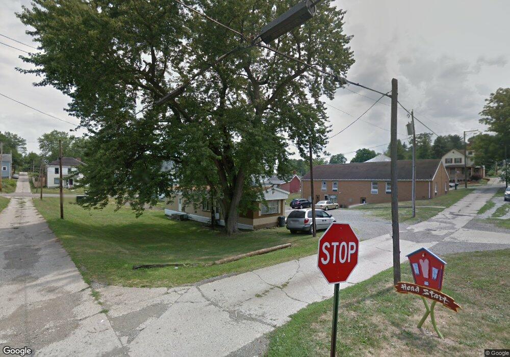
This home is located at 145 S Buffalo St, Cadiz, OH 43907 and is currently estimated at $98,333. 145 S Buffalo St is a home located in Harrison County with nearby schools including Harrison Central Elementary School and Harrison Central Junior/Senior High School.
Ownership History
Date
Name
Owned For
Owner Type
Purchase Details
Closed on
Sep 12, 2025
Sold by
Mill Run Rental Properties Llc
Bought by
William Bushnell Hoyt And Dru Ellen Hoyt Irre
Current Estimated Value
Purchase Details
Closed on
Feb 16, 2016
Sold by
Almeida Properties Llc
Bought by
Mill Run Rental Properties Llc
Home Financials for this Owner
Home Financials are based on the most recent Mortgage that was taken out on this home.
Original Mortgage
$116,500
Interest Rate
3.81%
Mortgage Type
Unknown
Purchase Details
Closed on
Dec 28, 2011
Sold by
Francis John E and Francis Phyllis J
Bought by
Hoyt William B and Hoyt Dru Ellen
Create a Home Valuation Report for This Property
The Home Valuation Report is an in-depth analysis detailing your home's value as well as a comparison with similar homes in the area
Home Values in the Area
Average Home Value in this Area
Purchase History
| Date | Buyer | Sale Price | Title Company |
|---|---|---|---|
| William Bushnell Hoyt And Dru Ellen Hoyt Irre | -- | None Listed On Document | |
| Mill Run Rental Properties Llc | -- | None Available | |
| Hoyt William B | $163,250 | None Available |
Source: Public Records
Mortgage History
| Date | Status | Borrower | Loan Amount |
|---|---|---|---|
| Previous Owner | Mill Run Rental Properties Llc | $116,500 |
Source: Public Records
Tax History Compared to Growth
Tax History
| Year | Tax Paid | Tax Assessment Tax Assessment Total Assessment is a certain percentage of the fair market value that is determined by local assessors to be the total taxable value of land and additions on the property. | Land | Improvement |
|---|---|---|---|---|
| 2024 | $77 | $1,930 | $1,930 | $0 |
| 2023 | $76 | $1,930 | $1,930 | $0 |
| 2022 | $90 | $2,110 | $2,110 | $0 |
| 2021 | $87 | $2,110 | $2,110 | $0 |
| 2020 | $86 | $2,110 | $2,110 | $0 |
| 2019 | $74 | $1,790 | $1,790 | $0 |
| 2018 | $74 | $1,790 | $1,790 | $0 |
| 2017 | $79 | $1,790 | $1,790 | $0 |
| 2016 | $82 | $1,830 | $1,690 | $140 |
| 2015 | $82 | $1,830 | $1,690 | $140 |
| 2014 | $64 | $1,680 | $1,540 | $140 |
| 2013 | $64 | $1,680 | $1,540 | $140 |
Source: Public Records
Map
Nearby Homes
- 203 Roan Ave
- 254 S Buffalo St
- 150 E South St
- 216 Charleston St
- 419 Saint Clair Ave
- 207 Maplewood Dr
- 210 Harrison Ave
- 593 Dewey Ave
- 508 Lower Lincoln
- 616 Mccready Ave
- 388 N Main St
- 44208 Meadowlark Ln
- 804 E Market St
- 0 E Market St
- 265 Old Steubenville Pike
- 273 Old Steubenville Pike
- 390 Oak Park Rd
- 0 N Main St Unit 5153554
- 78791 Kanoski Rd
- 0 Brewer Rd
- 151 S Buffalo St
- 254 E Market St
- 259 E Warren St
- 215 E Warren St
- 130 S Buffalo St Unit 5
- 130 S Buffalo St
- 150 S Buffalo St
- 142 S Buffalo St
- 319 E Warren St
- 250 E Market St
- 242 E Market St
- 126 S Buffalo St
- 219 E Warren St
- 238 E Warren St
- 250 E Warren St
- 264 E Warren St
- 205 E Warren St
- 311 E Warren St
- 310 E Market St
- 205 W Warren St