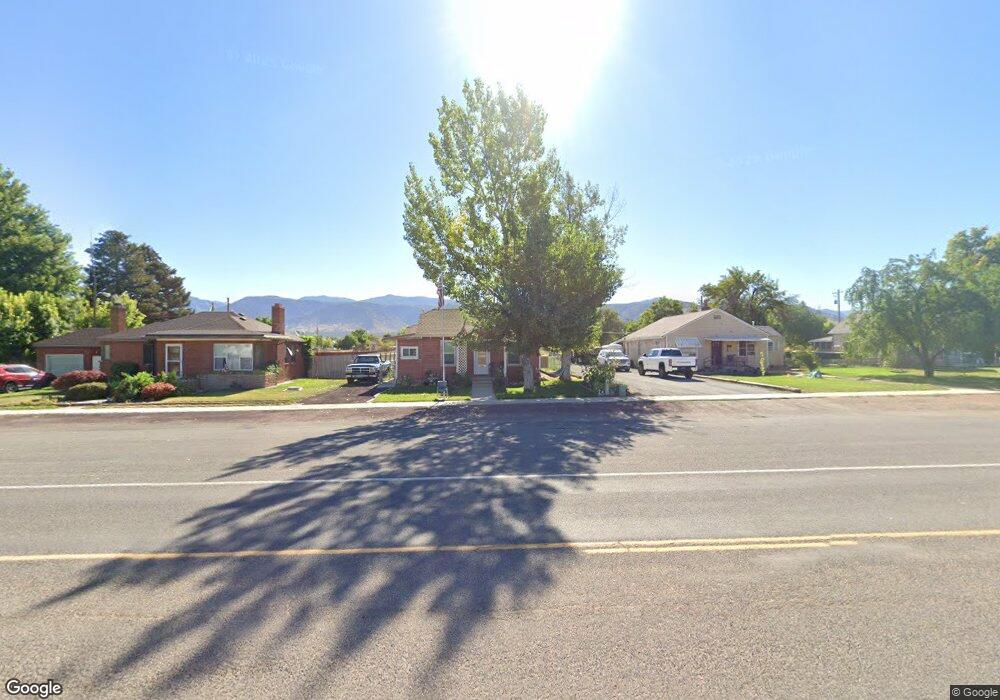
145 S Main St Kanosh, UT 84637
Estimated Value: $184,472 - $298,000
2
Beds
1
Bath
990
Sq Ft
$230/Sq Ft
Est. Value
About This Home
This home is located at 145 S Main St, Kanosh, UT 84637 and is currently estimated at $228,157, approximately $230 per square foot. 145 S Main St is a home located in Millard County.
Ownership History
Date
Name
Owned For
Owner Type
Purchase Details
Closed on
Jul 21, 2010
Sold by
Jsl Kanosh Properties Llc
Bought by
Adams Jolene K
Current Estimated Value
Home Financials for this Owner
Home Financials are based on the most recent Mortgage that was taken out on this home.
Original Mortgage
$61,388
Outstanding Balance
$40,491
Interest Rate
4.65%
Mortgage Type
VA
Estimated Equity
$187,666
Purchase Details
Closed on
Apr 20, 2006
Sold by
Christensen Thayne C and Christensen Kimberlynn
Bought by
Jls Kanosh Properties Llc
Create a Home Valuation Report for This Property
The Home Valuation Report is an in-depth analysis detailing your home's value as well as a comparison with similar homes in the area
Purchase History
| Date | Buyer | Sale Price | Title Company |
|---|---|---|---|
| Adams Jolene K | -- | -- | |
| Jls Kanosh Properties Llc | -- | -- |
Source: Public Records
Mortgage History
| Date | Status | Borrower | Loan Amount |
|---|---|---|---|
| Open | Adams Jolene K | $61,388 |
Source: Public Records
Tax History
| Year | Tax Paid | Tax Assessment Tax Assessment Total Assessment is a certain percentage of the fair market value that is determined by local assessors to be the total taxable value of land and additions on the property. | Land | Improvement |
|---|---|---|---|---|
| 2025 | $628 | $82,227 | $21,450 | $60,777 |
| 2024 | $628 | $84,809 | $15,642 | $69,167 |
| 2023 | $863 | $84,809 | $15,642 | $69,167 |
| 2022 | $514 | $48,271 | $12,514 | $35,757 |
| 2021 | $515 | $46,638 | $10,881 | $35,757 |
| 2020 | $448 | $41,003 | $9,892 | $31,111 |
| 2019 | $405 | $37,230 | $9,075 | $28,155 |
| 2018 | $386 | $36,405 | $8,250 | $28,155 |
| 2017 | $404 | $36,405 | $8,250 | $28,155 |
| 2016 | $235 | $22,146 | $1,238 | $20,908 |
| 2015 | $236 | $22,146 | $1,238 | $20,908 |
| 2014 | -- | $22,146 | $1,238 | $20,908 |
| 2013 | -- | $22,146 | $1,238 | $20,908 |
Source: Public Records
Map
Nearby Homes
- 115 W 200 S
- 58 E 300 South St
- 135 E 200 N
- 73 E 700 S
- 0 County Road 4616
- Parcel # 8816
- 145 N 200 E
- 80 W 470 N
- 50 N 100 Rd E
- 479 E 100 N
- 1565 W Sunflower Ln Unit 3
- 1615 W Sunflower Ln
- 1615 W Sunflower Ln Unit 4
- 1565 W Sunflower Ln
- 2000 N West Frontage I-15
- 1100 S 725 Rd W
- 310 S 500 West Rd
- 465 S 100 W
- 760 E 700 St S
- 155 E 500 St S
Your Personal Tour Guide
Ask me questions while you tour the home.