145 Tommy's Trail Mineral Bluff, GA 30559
Estimated Value: $240,664 - $457,000
--
Bed
1
Bath
1,176
Sq Ft
$327/Sq Ft
Est. Value
About This Home
This home is located at 145 Tommy's Trail, Mineral Bluff, GA 30559 and is currently estimated at $384,666, approximately $327 per square foot. 145 Tommy's Trail is a home located in Fannin County with nearby schools including Fannin County High School.
Ownership History
Date
Name
Owned For
Owner Type
Purchase Details
Closed on
Mar 20, 2006
Sold by
Shewbart Virgil A
Bought by
Brinks Marcia L
Current Estimated Value
Home Financials for this Owner
Home Financials are based on the most recent Mortgage that was taken out on this home.
Original Mortgage
$129,200
Outstanding Balance
$73,363
Interest Rate
6.25%
Mortgage Type
New Conventional
Estimated Equity
$311,303
Purchase Details
Closed on
Jul 30, 2004
Sold by
Shaw Michael K and Shaw Tereca
Bought by
Shewbart Virgil A
Purchase Details
Closed on
May 1, 2002
Sold by
Newkirk James G and Newkirk Diane B
Bought by
Shaw Michael K and Shaw Tereca
Purchase Details
Closed on
Apr 26, 2002
Sold by
Appalachian Community Bank
Bought by
Newkirk James G and Newkirk Di
Purchase Details
Closed on
Jul 16, 1999
Sold by
Williams Jeffrey L
Bought by
Newkirk James G and Newkirk Di
Purchase Details
Closed on
Sep 30, 1997
Sold by
Sneed Mary Ann Steph
Bought by
Williams Jeffrey L
Create a Home Valuation Report for This Property
The Home Valuation Report is an in-depth analysis detailing your home's value as well as a comparison with similar homes in the area
Home Values in the Area
Average Home Value in this Area
Purchase History
| Date | Buyer | Sale Price | Title Company |
|---|---|---|---|
| Brinks Marcia L | $161,500 | -- | |
| Shewbart Virgil A | $145,000 | -- | |
| Shaw Michael K | $145,000 | -- | |
| Newkirk James G | -- | -- | |
| Newkirk James G | $82,000 | -- | |
| Williams Jeffrey L | $67,500 | -- |
Source: Public Records
Mortgage History
| Date | Status | Borrower | Loan Amount |
|---|---|---|---|
| Open | Brinks Marcia L | $129,200 |
Source: Public Records
Tax History Compared to Growth
Tax History
| Year | Tax Paid | Tax Assessment Tax Assessment Total Assessment is a certain percentage of the fair market value that is determined by local assessors to be the total taxable value of land and additions on the property. | Land | Improvement |
|---|---|---|---|---|
| 2024 | $364 | $72,557 | $7,878 | $64,679 |
| 2023 | $389 | $61,142 | $7,878 | $53,264 |
| 2022 | $396 | $61,854 | $7,878 | $53,976 |
| 2021 | $247 | $40,462 | $7,878 | $32,584 |
| 2020 | $250 | $40,462 | $7,878 | $32,584 |
| 2019 | $254 | $40,462 | $7,878 | $32,584 |
| 2018 | $235 | $38,212 | $5,628 | $32,584 |
| 2017 | $694 | $39,202 | $5,628 | $33,574 |
| 2016 | $288 | $39,882 | $5,628 | $34,254 |
| 2015 | $319 | $40,316 | $5,628 | $34,688 |
| 2014 | $642 | $58,304 | $27,932 | $30,373 |
| 2013 | -- | $48,315 | $27,931 | $20,383 |
Source: Public Records
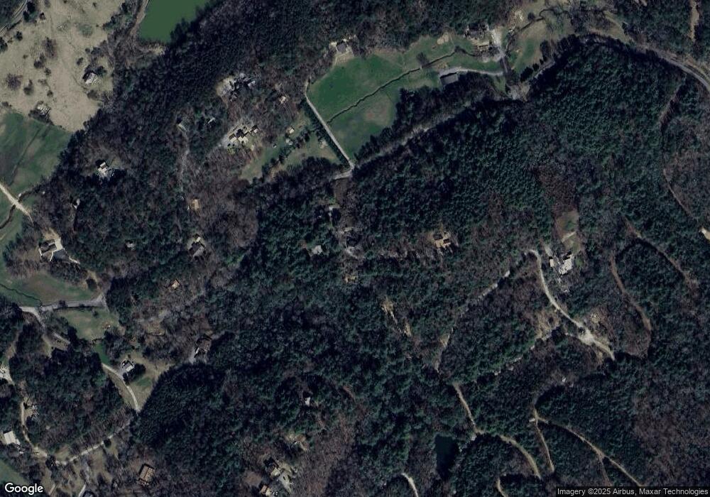
Map
Nearby Homes
- 1600 My Mountain Rd
- 105 Snowy Rd
- 419 Blue Ridge Trail
- LOT 95 The Ridges
- Lot 133 Ridges of Blue Ridge
- 91 Blue Grass Hollow
- 295 Mountain Laurel Ridge
- 866 Mountain Laurel Ridge
- 0 Mountain Laurel Ridge Unit 23906395
- 34 Mountain Lookout
- 419 Blue Ridge Trails
- 136 Mountain Meadows Cir
- 34 Smokey Ridge Ln
- Lot 44 Ridgeline Ln
- LOT 8 Murphy Ln
- LT 133 Ridges of Blue Ridge
- LOT 1 Rocking Chair Ridge
- LOT 3 Rocking Chair Ridge
- LOT 2 Rocking Chair Ridge
- 145 Tommys Trail
- 140 Tommy's Trail
- 140 Tommys Trail
- 126 Tommys Trail
- 6 AC Tommy's Trail
- 235 Tommys Trail
- 566 Lowery Rd
- 88 Nels Ridge Rd
- 192 Nels Ridge Rd
- 128 Nels Ridge Rd
- 258 Nels Ridge Rd
- 772 Katydid Rd
- 88 Nels Ridge Rd
- 428 Kaytidid Rd
- 54 Nels Ridge Rd
- 70 Frosty Mountain Rd
- 98 Frosty Mountain Rd
- 55 Frosty Mountain Rd
- 102 Frosty Mountain Rd Unit 15
- 102 Frosty Mountain Rd