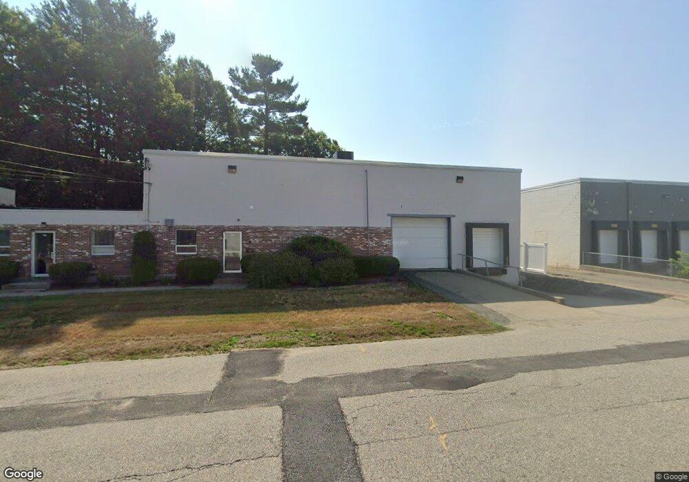
145 Tosca Dr Stoughton, MA 02072
Estimated Value: $1,243,984
--
Bed
2
Baths
5,522
Sq Ft
$225/Sq Ft
Est. Value
About This Home
This home is located at 145 Tosca Dr, Stoughton, MA 02072 and is currently estimated at $1,243,984, approximately $225 per square foot. 145 Tosca Dr is a home located in Norfolk County with nearby schools including Wilkins Elementary School, Dr. Robert G. O'Donnell Middle School, and Stoughton High School.
Ownership History
Date
Name
Owned For
Owner Type
Purchase Details
Closed on
Aug 14, 2023
Sold by
145 Tosca Drive Rt and Puopolo
Bought by
Dwg Ventures Llc
Current Estimated Value
Purchase Details
Closed on
Jun 26, 2000
Sold by
Belcher Frederick J
Bought by
Tosca Dr Rt
Purchase Details
Closed on
Jan 6, 2000
Sold by
Freedon Rt Est and Southstate Bk For Sav
Bought by
Belcher Frederick J
Create a Home Valuation Report for This Property
The Home Valuation Report is an in-depth analysis detailing your home's value as well as a comparison with similar homes in the area
Home Values in the Area
Average Home Value in this Area
Purchase History
| Date | Buyer | Sale Price | Title Company |
|---|---|---|---|
| Dwg Ventures Llc | $1,100,000 | None Available | |
| Dwg Ventures Llc | $1,100,000 | None Available | |
| Dwg Ventures Llc | $1,100,000 | None Available | |
| Tosca Dr Rt | $275,000 | -- | |
| Belcher Frederick J | $210,000 | -- |
Source: Public Records
Tax History Compared to Growth
Tax History
| Year | Tax Paid | Tax Assessment Tax Assessment Total Assessment is a certain percentage of the fair market value that is determined by local assessors to be the total taxable value of land and additions on the property. | Land | Improvement |
|---|---|---|---|---|
| 2025 | $11,459 | $557,900 | $229,500 | $328,400 |
| 2024 | $9,819 | $461,200 | $162,300 | $298,900 |
| 2023 | $9,661 | $426,900 | $147,600 | $279,300 |
| 2022 | $9,465 | $391,100 | $134,800 | $256,300 |
| 2021 | $9,243 | $362,600 | $127,900 | $234,700 |
| 2020 | $9,161 | $358,000 | $127,900 | $230,100 |
| 2019 | $8,791 | $328,900 | $112,100 | $216,800 |
| 2018 | $8,263 | $316,100 | $108,200 | $207,900 |
| 2017 | $8,152 | $316,100 | $108,200 | $207,900 |
| 2016 | $7,655 | $294,200 | $98,400 | $195,800 |
| 2015 | $7,006 | $266,000 | $88,500 | $177,500 |
| 2014 | $6,222 | $238,500 | $88,500 | $150,000 |
Source: Public Records
Map
Nearby Homes
- 40 Horan Way
- 56 Station St
- 66 Marjorie Rd
- 103 Kim Terrace Unit A
- 18 Cherrywood Dr Unit 18
- 109 Greenbrook Dr Unit 109
- 40 Elderwood Dr
- 23 Millfarm Rd
- 82 Frances Dr
- 11 Springwood Ave
- 42 Amherst Rd
- 141 Shaw Farm Rd Unit 141
- 54 Laurelwood Dr
- 59 Rosewood Dr
- 230 Greenbrook Dr Unit 6-06
- 56 Laurelwood Dr
- 2040 Central St
- 16 Jessica Dr Unit E
- 29 Rayburn Rd
- 115 Joanne Rd