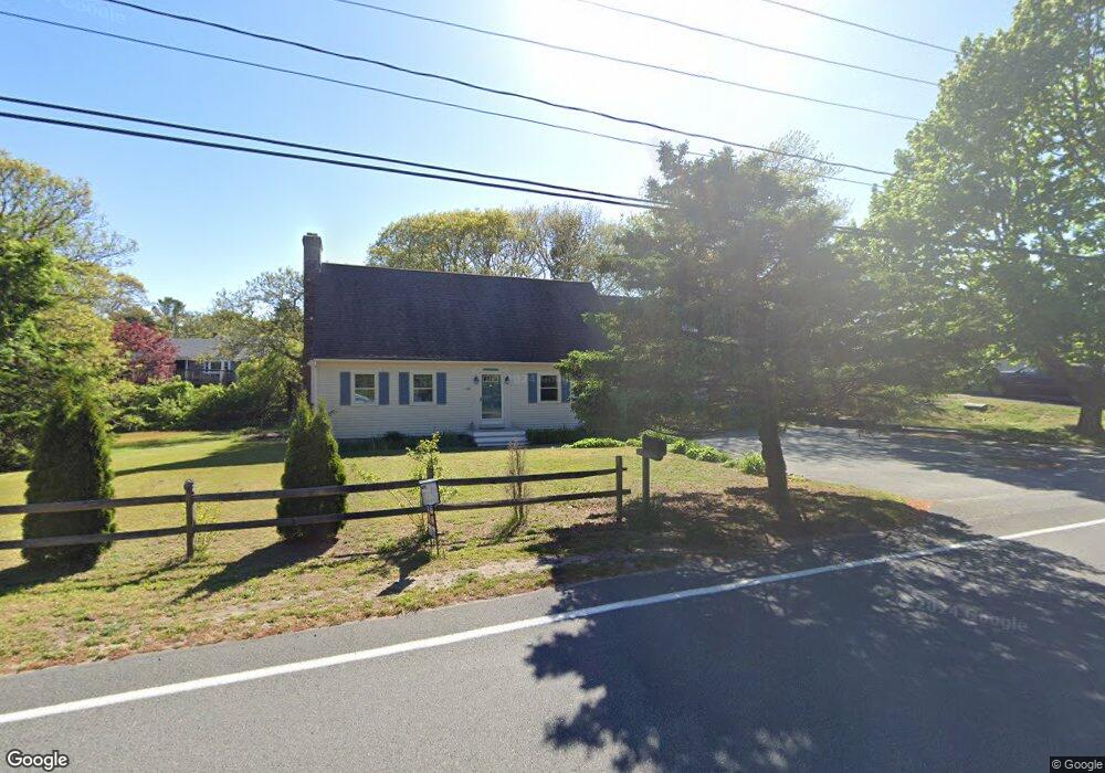
145 Union St Yarmouth Port, MA 02675
Yarmouth Port NeighborhoodEstimated Value: $555,000 - $737,000
4
Beds
2
Baths
2,000
Sq Ft
$316/Sq Ft
Est. Value
About This Home
This home is located at 145 Union St, Yarmouth Port, MA 02675 and is currently estimated at $631,525, approximately $315 per square foot. 145 Union St is a home located in Barnstable County with nearby schools including Dennis-Yarmouth Regional High School, St. Pius X. School, and Trinity Christian Academy of Cape Cod.
Ownership History
Date
Name
Owned For
Owner Type
Purchase Details
Closed on
Apr 8, 2005
Sold by
Linhares Mark
Bought by
Bonfini Emilia R and Linhares Emilia
Current Estimated Value
Home Financials for this Owner
Home Financials are based on the most recent Mortgage that was taken out on this home.
Original Mortgage
$165,000
Outstanding Balance
$84,704
Interest Rate
5.7%
Mortgage Type
Purchase Money Mortgage
Estimated Equity
$546,821
Purchase Details
Closed on
Jul 17, 1984
Bought by
Bonfini Emilia R
Create a Home Valuation Report for This Property
The Home Valuation Report is an in-depth analysis detailing your home's value as well as a comparison with similar homes in the area
Home Values in the Area
Average Home Value in this Area
Purchase History
| Date | Buyer | Sale Price | Title Company |
|---|---|---|---|
| Bonfini Emilia R | -- | -- | |
| Bonfini Emilia R | -- | -- |
Source: Public Records
Mortgage History
| Date | Status | Borrower | Loan Amount |
|---|---|---|---|
| Open | Bonfini Emilia R | $165,000 | |
| Previous Owner | Bonfini Emilia R | $45,000 |
Source: Public Records
Tax History Compared to Growth
Tax History
| Year | Tax Paid | Tax Assessment Tax Assessment Total Assessment is a certain percentage of the fair market value that is determined by local assessors to be the total taxable value of land and additions on the property. | Land | Improvement |
|---|---|---|---|---|
| 2025 | $4,149 | $586,000 | $143,900 | $442,100 |
| 2024 | $4,046 | $548,200 | $151,700 | $396,500 |
| 2023 | $4,031 | $497,100 | $135,200 | $361,900 |
| 2022 | $3,622 | $394,600 | $121,600 | $273,000 |
| 2021 | $3,552 | $371,500 | $121,600 | $249,900 |
| 2020 | $3,413 | $341,300 | $121,600 | $219,700 |
| 2019 | $3,177 | $314,600 | $121,600 | $193,000 |
| 2018 | $3,006 | $292,100 | $99,100 | $193,000 |
| 2017 | $2,927 | $292,100 | $99,100 | $193,000 |
| 2016 | $2,825 | $283,100 | $90,100 | $193,000 |
| 2015 | $2,708 | $269,700 | $90,100 | $179,600 |
Source: Public Records
Map
Nearby Homes
- 209 Union St
- 882 W Yarmouth Rd
- 933-935 W Yarmouth Rd
- 32 Deveau Ln
- 24 Minnetuxet Way
- 10 Balsam Way
- 8 Rowley Ln
- 50 Cottonwood St
- 371 Route 6a
- 1 Barnacle Rd
- 16 Warren Rd Unit 16
- 16 Warren Rd
- 23 Dauphine Dr
- 607 W Yarmouth Rd
- 17 Trowbridge Path
- 86 Pompano Rd
- 560 W Yarmouth Rd
- 25 Oak Glen
- 25 Oak Glen Village Unit 25
- 2 Pine Grove
- 16 Shaker House Rd
- 22 Shaker House Rd
- 141 Union St
- 151 Union St
- 148 Union St
- 12 Shaker House Rd
- 26 Shaker House Rd
- 1 Jeanne's Path
- 1 Jeannes Path
- 160 Union St
- 160 Union St
- 135 Union St
- 84 Early Red Berry Ln
- 84 Early Redberry Ln
- 10 Pequod Cir
- 32 Shaker House Rd
- 9 Jeannes Path
- 62 Early Redberry Ln
- 165 Union St
- 71 Early Redberry Ln