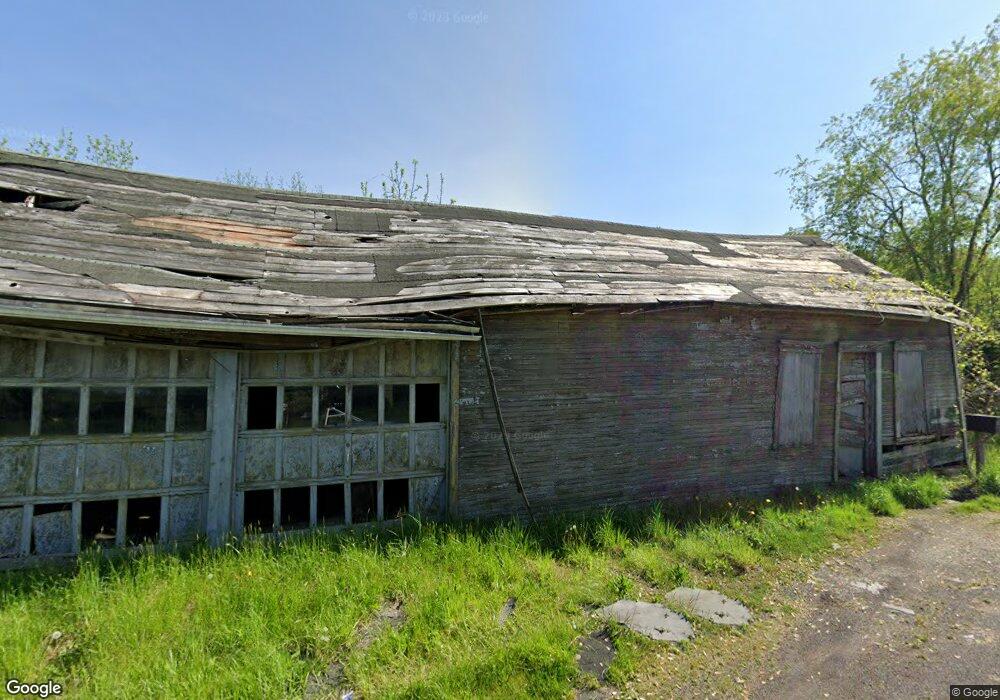
145 Zubaks Rd Adah, PA 15410
Luzerne Township NeighborhoodEstimated Value: $271,000 - $381,000
5
Beds
1
Bath
3,696
Sq Ft
$87/Sq Ft
Est. Value
About This Home
This home is located at 145 Zubaks Rd, Adah, PA 15410 and is currently estimated at $321,971, approximately $87 per square foot. 145 Zubaks Rd is a home located in Fayette County with nearby schools including Brownsville Area Elementary School, Brownsville Area Middle School, and Brownsville Area High School.
Ownership History
Date
Name
Owned For
Owner Type
Purchase Details
Closed on
May 19, 2016
Sold by
Zubak Joseph and The Zubak Revocable Trust
Bought by
Olesko Randy and Olesko Heather
Current Estimated Value
Home Financials for this Owner
Home Financials are based on the most recent Mortgage that was taken out on this home.
Original Mortgage
$200,000
Outstanding Balance
$159,214
Interest Rate
3.66%
Mortgage Type
Purchase Money Mortgage
Estimated Equity
$162,757
Purchase Details
Closed on
Mar 14, 2014
Sold by
Osley Mary
Bought by
Zubak Revocable Trust
Purchase Details
Closed on
Aug 25, 1971
Bought by
Osley Mary
Create a Home Valuation Report for This Property
The Home Valuation Report is an in-depth analysis detailing your home's value as well as a comparison with similar homes in the area
Home Values in the Area
Average Home Value in this Area
Purchase History
| Date | Buyer | Sale Price | Title Company |
|---|---|---|---|
| Olesko Randy | $250,000 | None Available | |
| Zubak Revocable Trust | -- | None Available | |
| Osley Mary | -- | -- |
Source: Public Records
Mortgage History
| Date | Status | Borrower | Loan Amount |
|---|---|---|---|
| Open | Olesko Randy | $200,000 |
Source: Public Records
Tax History Compared to Growth
Tax History
| Year | Tax Paid | Tax Assessment Tax Assessment Total Assessment is a certain percentage of the fair market value that is determined by local assessors to be the total taxable value of land and additions on the property. | Land | Improvement |
|---|---|---|---|---|
| 2025 | $2,669 | $94,625 | $59,090 | $35,535 |
| 2024 | $2,669 | $94,625 | $59,090 | $35,535 |
| 2023 | $5,338 | $94,625 | $59,090 | $35,535 |
| 2022 | $5,338 | $94,625 | $59,090 | $35,535 |
| 2021 | $5,179 | $94,625 | $59,090 | $35,535 |
| 2020 | $5,174 | $94,625 | $59,090 | $35,535 |
| 2019 | $4,897 | $94,625 | $59,090 | $35,535 |
| 2018 | $4,897 | $94,625 | $59,090 | $35,535 |
| 2017 | $4,784 | $94,625 | $59,090 | $35,535 |
| 2016 | -- | $94,625 | $59,090 | $35,535 |
| 2015 | -- | $94,625 | $59,090 | $35,535 |
| 2014 | -- | $189,250 | $118,180 | $71,070 |
Source: Public Records
Map
Nearby Homes
- 0 Holly Alley Unit 1724982
- 914 Coal St
- 916 Coal St
- 198 Keeny Row
- 691 Heistersburg Rd
- 204 Tower Hill Rd
- 26 Fairgarden St
- 37 Redstone St
- 815 Green St
- 0 Dearth St
- 813 Green St
- SR166 Thompson 1 Rd
- 9 Kennedy St
- 0 5th St
- 12 Circle St
- 0 Steel St Unit 1719984
- 309 Shagbark Rd
- 176 Isabella Rd
- 2013 East St
- 2014 5th St
- 1075 Penncraft Rd
- 10 Quaker Ln
- 1045 Penncraft Rd
- 115 Penncraft Rd
- 1033 Penncraft Rd
- 125 Penncraft Rd
- 158 Penncraft Rd
- 184 Zubaks Rd
- 1026 Penncraft Rd
- 1025 Penncraft Rd
- 150 Penncraft 1 Cir
- 150 Penncraft Rd
- 1018 Penncraft Rd
- 148 Penncraft Rd
- 106 Penncraft Rd
- 1011 Penncraft Rd
- 128 Penncraft Rd
- 118 Penncraft Rd
- 136 Factory Rd
- 246 Penncraft Rd