1450 1st Ave Unit Bldg-Unit Howell, MI 48843
Estimated Value: $242,824 - $300,000
3
Beds
2
Baths
1,146
Sq Ft
$242/Sq Ft
Est. Value
About This Home
This home is located at 1450 1st Ave Unit Bldg-Unit, Howell, MI 48843 and is currently estimated at $277,706, approximately $242 per square foot. 1450 1st Ave Unit Bldg-Unit is a home located in Livingston County with nearby schools including Northwest Elementary School, Highlander Way Middle School, and Howell High School.
Ownership History
Date
Name
Owned For
Owner Type
Purchase Details
Closed on
Jun 28, 2018
Sold by
Bruce Kirby R and Bruce Sheryl R
Bought by
Rufli Robert J and Rufli Dorothy L
Current Estimated Value
Purchase Details
Closed on
Jun 21, 2018
Sold by
Bruce Kirby R and Bruce Sheryl R
Bought by
Rufli Robert J and Rufli Dorothy L
Create a Home Valuation Report for This Property
The Home Valuation Report is an in-depth analysis detailing your home's value as well as a comparison with similar homes in the area
Home Values in the Area
Average Home Value in this Area
Purchase History
| Date | Buyer | Sale Price | Title Company |
|---|---|---|---|
| Rufli Robert J | $110,000 | Select Title | |
| Rufli Robert J | $110,000 | Select Title |
Source: Public Records
Tax History Compared to Growth
Tax History
| Year | Tax Paid | Tax Assessment Tax Assessment Total Assessment is a certain percentage of the fair market value that is determined by local assessors to be the total taxable value of land and additions on the property. | Land | Improvement |
|---|---|---|---|---|
| 2025 | $3,929 | $93,900 | $0 | $0 |
| 2024 | $3,816 | $95,400 | $0 | $0 |
| 2023 | $3,642 | $83,900 | $0 | $0 |
| 2022 | -- | $73,600 | $0 | $0 |
| 2021 | $3,728 | $70,600 | $0 | $0 |
| 2020 | $3,778 | $68,000 | $0 | $0 |
| 2019 | $3,728 | $65,600 | $0 | $0 |
| 2018 | $1,807 | $57,800 | $0 | $0 |
| 2017 | $1,789 | $57,800 | $0 | $0 |
| 2016 | $1,785 | $55,100 | $0 | $0 |
| 2014 | $1,818 | $42,800 | $0 | $0 |
| 2012 | $1,818 | $41,700 | $0 | $0 |
Source: Public Records
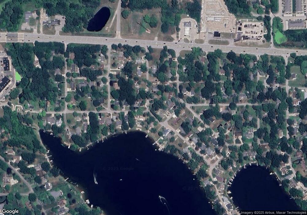
Map
Nearby Homes
- 304 Victoria Park Dr Unit 45
- VACANT LOT Thompson Shore Dr
- 1773 Welland St
- 809 N Michigan Ave
- Howden A Plan at Howden Meadows
- Howden B Plan at Howden Meadows
- 505 W Highland Rd
- 386 Dorchester Dr
- 2511 Kerria Dr Unit 42
- 1570 Princewood Blvd
- 2485 Wellington Dr
- 1016 Curzon St
- 516 Factory St
- 823 Alger St
- 421 West St
- 2643 Kerria Dr Unit 65
- 1627 Ashfield St
- 1728 Town Commons Dr Unit 65
- 631 Grafton Ln
- 1633 Frech Ln
- 1450 1st Ave
- 1450 First Ave
- 1530 First Ave
- 1408 Lakeside Dr
- 1444 Lakeside Dr
- 1536 First Ave
- 529 Park Ave
- 1523 Second Ave
- 1523 2nd Ave
- 1409 Lakeside Dr
- 1441 Lakeside Dr
- 1531 First Ave
- 1531 1st Ave
- 1535 Second Ave
- 1542 First Ave
- 1542 1st Ave
- 1390 Lakeside Dr
- 1539 1st Ave
- 1539 First Ave
- 1389 Central Ave