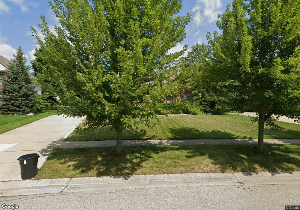
1450 Delancy Cir Canton, MI 48188
Estimated Value: $667,913 - $756,000
4
Beds
4
Baths
3,200
Sq Ft
$225/Sq Ft
Est. Value
About This Home
This home is located at 1450 Delancy Cir, Canton, MI 48188 and is currently estimated at $721,478, approximately $225 per square foot. 1450 Delancy Cir is a home located in Wayne County with nearby schools including Canton High School, Workman Elementary School, and Plymouth High School.
Ownership History
Date
Name
Owned For
Owner Type
Purchase Details
Closed on
Aug 31, 2011
Sold by
Karlinski David J and Karlinski Stephanie J
Bought by
Crow Joseph W and Crow Tawnya L
Current Estimated Value
Purchase Details
Closed on
Feb 20, 2004
Sold by
Hullinger Norman F and Setser Denise
Bought by
Karlinski David J
Purchase Details
Closed on
Feb 27, 2003
Sold by
Pulte Land Development Corp
Bought by
Hullinger Norman F
Create a Home Valuation Report for This Property
The Home Valuation Report is an in-depth analysis detailing your home's value as well as a comparison with similar homes in the area
Home Values in the Area
Average Home Value in this Area
Purchase History
| Date | Buyer | Sale Price | Title Company |
|---|---|---|---|
| Crow Joseph W | $401,000 | Title One Inc | |
| Karlinski David J | $430,000 | First American Title Ins Co | |
| Hullinger Norman F | $265,000 | Metropolitan Title Company |
Source: Public Records
Tax History
| Year | Tax Paid | Tax Assessment Tax Assessment Total Assessment is a certain percentage of the fair market value that is determined by local assessors to be the total taxable value of land and additions on the property. | Land | Improvement |
|---|---|---|---|---|
| 2025 | $4,243 | $316,500 | $0 | $0 |
| 2024 | $4,122 | $297,100 | $0 | $0 |
| 2023 | $3,930 | $256,600 | $0 | $0 |
| 2022 | $8,456 | $244,500 | $0 | $0 |
| 2021 | $8,206 | $235,400 | $0 | $0 |
| 2020 | $8,109 | $233,400 | $0 | $0 |
| 2019 | $7,959 | $219,910 | $0 | $0 |
| 2018 | $3,340 | $214,260 | $0 | $0 |
| 2017 | $7,984 | $211,000 | $0 | $0 |
| 2016 | $7,224 | $215,500 | $0 | $0 |
| 2015 | $18,351 | $197,680 | $0 | $0 |
| 2013 | $17,778 | $193,710 | $0 | $0 |
| 2010 | -- | $162,230 | $76,731 | $85,499 |
Source: Public Records
Map
Nearby Homes
- 379 Springfield Dr
- 392 Lenox Dr
- 48318 Manhattan Cir
- 985 Truman Dr
- 464 Waterview Ct
- 897 Harrison St
- 137 Village Way
- 2780 Denton Rd
- 50249 Jefferson St Unit 415
- 000 Filmore St
- 001 Filmore St
- 002 Filmore St
- 370 Roosevelt St
- 0000 Denton Rd
- 00000 Denton Rd
- 51083 Meadowlands
- 48893 Fifth Ave
- 50413 Monroe St Unit 36
- 50594 Paine St
- 000 Patriot St
- 1464 Delancy Cir
- 1436 Delancy Cir
- 1441 Delancy Cir
- 1480 Delancy Cir
- 1420 Delancy Cir
- 1465 Delancy Cir
- 1481 Delancy Cir
- 1421 Delancy Cir
- 1406 Delancy Cir
- 1496 Delancy Cir
- 1495 Delancy Cir
- 1499 McLaine St
- 1583 McLaine St
- 1390 Delancy Cir
- 1510 Delancy Cir
- 1517 Delancy Cir
- 1619 McLaine St
- 1401 Delancy Cir
- 49383 Central Park Dr
- 1448 McLaine St
Your Personal Tour Guide
Ask me questions while you tour the home.