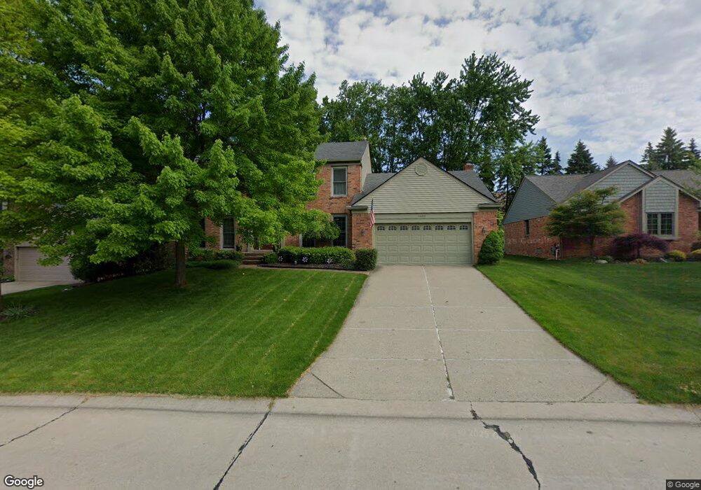
1450 Oakstone Dr Unit Bldg-Unit Rochester Hills, MI 48309
Estimated Value: $541,000 - $596,000
3
Beds
3
Baths
2,500
Sq Ft
$231/Sq Ft
Est. Value
About This Home
This home is located at 1450 Oakstone Dr Unit Bldg-Unit, Rochester Hills, MI 48309 and is currently estimated at $578,009, approximately $231 per square foot. 1450 Oakstone Dr Unit Bldg-Unit is a home located in Oakland County with nearby schools including Long Meadow Elementary School, West Middle School, and Rochester High School.
Ownership History
Date
Name
Owned For
Owner Type
Purchase Details
Closed on
Apr 28, 2022
Sold by
Eardley David and Eardley Sara
Bought by
Frantz Sarah A
Current Estimated Value
Home Financials for this Owner
Home Financials are based on the most recent Mortgage that was taken out on this home.
Original Mortgage
$277,000
Outstanding Balance
$261,726
Interest Rate
4.67%
Mortgage Type
New Conventional
Estimated Equity
$316,283
Purchase Details
Closed on
Jun 25, 2018
Sold by
Pruett David E and Pruett Joyce M
Bought by
Eardley David Anthony and Eardley Sara Lynn
Home Financials for this Owner
Home Financials are based on the most recent Mortgage that was taken out on this home.
Original Mortgage
$374,499
Interest Rate
4.5%
Mortgage Type
Purchase Money Mortgage
Create a Home Valuation Report for This Property
The Home Valuation Report is an in-depth analysis detailing your home's value as well as a comparison with similar homes in the area
Home Values in the Area
Average Home Value in this Area
Purchase History
| Date | Buyer | Sale Price | Title Company |
|---|---|---|---|
| Frantz Sarah A | $519,000 | First American Title | |
| Frantz Sarah A | $519,000 | First American Title | |
| Eardley David Anthony | $394,499 | Title One Inc |
Source: Public Records
Mortgage History
| Date | Status | Borrower | Loan Amount |
|---|---|---|---|
| Open | Frantz Sarah A | $277,000 | |
| Previous Owner | Eardley David Anthony | $374,499 |
Source: Public Records
Tax History Compared to Growth
Tax History
| Year | Tax Paid | Tax Assessment Tax Assessment Total Assessment is a certain percentage of the fair market value that is determined by local assessors to be the total taxable value of land and additions on the property. | Land | Improvement |
|---|---|---|---|---|
| 2022 | $3,682 | $197,790 | $0 | $0 |
| 2018 | $4,018 | $166,340 | $0 | $0 |
| 2017 | $3,939 | $166,240 | $0 | $0 |
| 2015 | -- | $157,410 | $0 | $0 |
| 2014 | -- | $132,960 | $0 | $0 |
| 2011 | -- | $114,520 | $0 | $0 |
Source: Public Records
Map
Nearby Homes
- 184 Shagbark Dr
- 1665 Huntington Park Unit E
- 126 Orchardale Dr
- 1111 Walton Blvd
- 1083 N Livernois Rd
- 73 Nevada Ave
- 339 N Alice Ave
- 358 Willow Grove Ln Unit 38
- 2222 Walton Blvd
- 2247 Walton Blvd Unit 46
- 2072 Belle Vernon Dr
- 410 Willow Grove Ln Unit 17
- 123 Longford Dr
- 2270 Walton Blvd
- 2245 Walton Blvd Unit 58
- 1298 W Fairview Ln
- 673 Oakbrook W
- 51 Manor Way Unit 30
- 2377 Walton Blvd Unit 15
- 2311 Walton Blvd Unit 40
- 1450 Oakstone Dr
- 1458 Oakstone Dr
- 1432 Oakstone Dr
- 1466 Oakstone Dr
- 1424 Oakstone Dr
- 1447 Oakstone Dr
- 1457 Oakstone Dr
- 1463 Oakstone Dr
- 1431 Oakstone Dr
- 1474 Oakstone Dr
- 1416 Oakstone Dr
- 1423 Oakstone Dr
- 1482 Oakstone Dr
- 1415 Oakstone Dr
- 1408 Oakstone Dr
- 1490 Oakstone Dr
- 1385 Oakrock Ln
- 1407 Oakstone Dr
- 431 Rochdale Dr N
- 450 Allston Dr