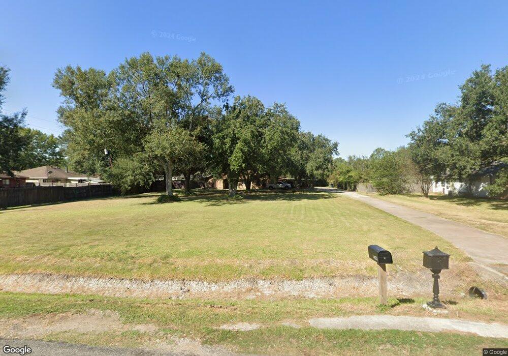
1450 Reynolds Rd Unit 1.83 Acres Beaumont, TX 77707
Safe Sommerset NeighborhoodEstimated Value: $225,000 - $272,000
4
Beds
2
Baths
1,948
Sq Ft
$127/Sq Ft
Est. Value
About This Home
This home is located at 1450 Reynolds Rd Unit 1.83 Acres, Beaumont, TX 77707 and is currently estimated at $246,764, approximately $126 per square foot. 1450 Reynolds Rd Unit 1.83 Acres is a home located in Jefferson County with nearby schools including Dishman Elementary School, Vincent Middle School, and West Brook Sr High School.
Ownership History
Date
Name
Owned For
Owner Type
Purchase Details
Closed on
Feb 26, 2021
Sold by
Manuel Joseph N and Manuel Glenda B
Bought by
Taylor Jon E and Taylor Ronda
Current Estimated Value
Home Financials for this Owner
Home Financials are based on the most recent Mortgage that was taken out on this home.
Original Mortgage
$200,000
Interest Rate
2.7%
Mortgage Type
Construction
Create a Home Valuation Report for This Property
The Home Valuation Report is an in-depth analysis detailing your home's value as well as a comparison with similar homes in the area
Home Values in the Area
Average Home Value in this Area
Purchase History
| Date | Buyer | Sale Price | Title Company |
|---|---|---|---|
| Taylor Jon E | -- | Capital Title |
Source: Public Records
Mortgage History
| Date | Status | Borrower | Loan Amount |
|---|---|---|---|
| Closed | Taylor Jon E | $200,000 |
Source: Public Records
Tax History Compared to Growth
Tax History
| Year | Tax Paid | Tax Assessment Tax Assessment Total Assessment is a certain percentage of the fair market value that is determined by local assessors to be the total taxable value of land and additions on the property. | Land | Improvement |
|---|---|---|---|---|
| 2025 | $4,091 | $227,140 | $11,851 | $215,289 |
| 2024 | $4,091 | $231,604 | -- | -- |
| 2023 | $4,091 | $210,549 | $11,851 | $198,698 |
| 2022 | $5,323 | $203,697 | $11,851 | $191,846 |
| 2021 | $4,135 | $216,073 | $11,851 | $204,222 |
| 2020 | $3,535 | $129,675 | $11,844 | $117,831 |
| 2019 | $1,508 | $121,550 | $11,850 | $109,700 |
| 2018 | $1,515 | $122,140 | $11,850 | $110,290 |
| 2017 | $1,487 | $122,140 | $11,850 | $110,290 |
| 2016 | $3,358 | $122,140 | $11,850 | $110,290 |
| 2015 | $1,508 | $113,320 | $11,850 | $101,470 |
| 2014 | $1,508 | $113,320 | $11,850 | $101,470 |
Source: Public Records
Map
Nearby Homes
- 9760 Faggard Rd
- 1745 Shirley Cir
- 9485 Landis Dr
- 1655 Wooten Rd
- 2030 Monica St
- 775 Todd St Unit 765 Doty Street
- 9655 Riggs St
- 8860 Blaylock Ln Unit 8860 Blaylock
- 9610 Doty
- 9195 Gross St
- 2250 Woodside Dr
- 1875 Wescalder Rd
- 9540 Gardner St
- 2325 Willowglen Dr
- 9205 Shepherd Dr
- 9370 Shepherd Dr
- 9785 Shepherd Dr
- 9210 Baker Rd
- 8615 Washington Blvd
- 640 Lee Ann Ln
- 1450 Reynolds Rd
- 9540 Faggard Rd
- 1390 Reynolds Rd
- 9530 Faggard Rd
- 9550 Faggard Rd
- 9520 Faggard Rd
- 9560 Faggard Rd
- 9510 Faggard Rd
- 9570 Faggard Rd
- 1330 Reynolds Rd
- 9580 Faggard Rd
- 1310 Reynolds Rd
- 9590 Faggard Rd
- 1455 Reynolds Rd
- 1520 Reynolds Rd
- 9610 Faggard Rd
- 9545 Faggard Rd
- 1345 Reynolds Rd
- 1290 Reynolds Rd
- 9555 Faggard Rd