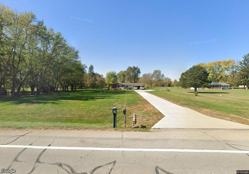
1450 S State Route 48 Ludlow Falls, OH 45339
Estimated Value: $254,000 - $318,000
3
Beds
2
Baths
1,428
Sq Ft
$195/Sq Ft
Est. Value
About This Home
This home is located at 1450 S State Route 48, Ludlow Falls, OH 45339 and is currently estimated at $278,038, approximately $194 per square foot. 1450 S State Route 48 is a home located in Miami County with nearby schools including Newton Elementary School and Newton High School.
Ownership History
Date
Name
Owned For
Owner Type
Purchase Details
Closed on
Jan 3, 2008
Sold by
Mainsource Bank
Bought by
Brown Tony and Turner Tammy
Current Estimated Value
Home Financials for this Owner
Home Financials are based on the most recent Mortgage that was taken out on this home.
Original Mortgage
$119,000
Outstanding Balance
$75,545
Interest Rate
6.27%
Mortgage Type
New Conventional
Estimated Equity
$202,493
Purchase Details
Closed on
Jan 1, 1990
Bought by
Schoeffmann James G
Create a Home Valuation Report for This Property
The Home Valuation Report is an in-depth analysis detailing your home's value as well as a comparison with similar homes in the area
Home Values in the Area
Average Home Value in this Area
Purchase History
| Date | Buyer | Sale Price | Title Company |
|---|---|---|---|
| Brown Tony | $119,000 | -- | |
| Schoeffmann James G | -- | -- |
Source: Public Records
Mortgage History
| Date | Status | Borrower | Loan Amount |
|---|---|---|---|
| Open | Brown Tony | $119,000 |
Source: Public Records
Tax History Compared to Growth
Tax History
| Year | Tax Paid | Tax Assessment Tax Assessment Total Assessment is a certain percentage of the fair market value that is determined by local assessors to be the total taxable value of land and additions on the property. | Land | Improvement |
|---|---|---|---|---|
| 2024 | $2,373 | $64,470 | $23,170 | $41,300 |
| 2023 | $2,373 | $64,470 | $23,170 | $41,300 |
| 2022 | $2,410 | $64,470 | $23,170 | $41,300 |
| 2021 | $2,146 | $53,730 | $19,320 | $34,410 |
| 2020 | $2,152 | $53,730 | $19,320 | $34,410 |
| 2019 | $2,013 | $53,730 | $19,320 | $34,410 |
| 2018 | $1,670 | $44,590 | $16,940 | $27,650 |
| 2017 | $1,685 | $44,590 | $16,940 | $27,650 |
| 2016 | $1,665 | $44,590 | $16,940 | $27,650 |
| 2015 | $1,760 | $42,880 | $16,280 | $26,600 |
| 2014 | $1,760 | $42,880 | $16,280 | $26,600 |
| 2013 | $1,778 | $42,880 | $16,280 | $26,600 |
Source: Public Records
Map
Nearby Homes
- 2211 S State Route 48
- 115 Vine St
- 5940 Horseshoe Bend Rd
- 5920 Horseshoe Bend Rd
- 5845 Fenner Rd
- 3155 S State Route 48
- 309 W Franklin St
- 6200 State Route 718
- 1 N Main St
- G12-072300 S Kessler Frederick Rd
- State Route 48
- 490 N Jay St
- 488 N Jay St
- 4063 W State Route 55
- 275 N Jay St
- 3860 Horseshoe Bend Rd
- 9980 Ohio 718
- 216 N Miami St
- 111 Hayes St
- 207 Palm Ct
- 1410 S State Route 48
- 1455 S State Route 48
- 1370 S State Route 48
- 1500 S State Route 48
- 1330 S State Route 48
- 1395 S State Route 48
- 1545 S State Route 48
- 1570 S State Route 48
- 1311 S State Route 48
- 1270 S State Route 48
- 1234 S State Route 48
- 1234 Ohio 48
- 1180 S State Route 48
- 1122 S State Route 48
- 1780 S State Route 48
- 1825 S State Route 48
- 1850 S State Route 48
- 1905 S State Route 48
- 1953 S State Route 48
- 1970 S State Route 48