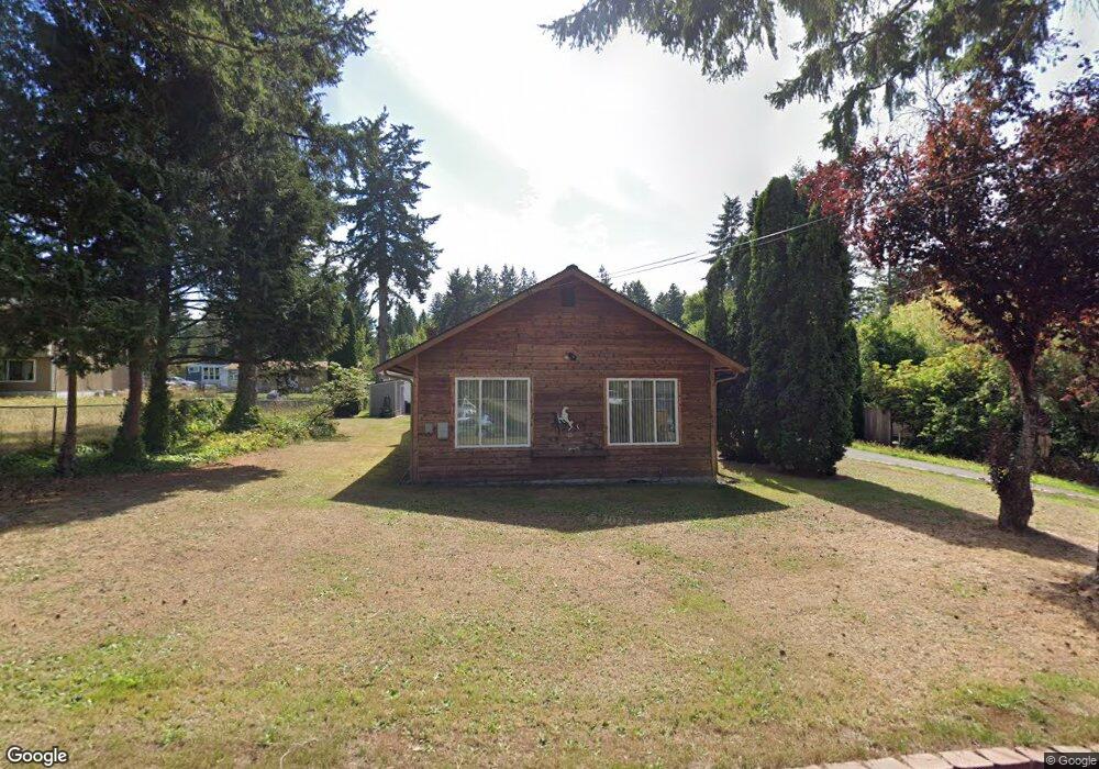
1450 SE Cedar Rd Port Orchard, WA 98367
Bethel NeighborhoodEstimated Value: $552,000 - $693,000
2
Beds
1
Bath
2,316
Sq Ft
$256/Sq Ft
Est. Value
About This Home
This home is located at 1450 SE Cedar Rd, Port Orchard, WA 98367 and is currently estimated at $593,149, approximately $256 per square foot. 1450 SE Cedar Rd is a home located in Kitsap County with nearby schools including Hidden Creek Elementary School, Marcus Whitman Middle School, and South Kitsap High School.
Ownership History
Date
Name
Owned For
Owner Type
Purchase Details
Closed on
Sep 1, 2015
Sold by
Peterson Edith E
Bought by
Peterson Edith E and Peterson Darrel R
Current Estimated Value
Purchase Details
Closed on
Oct 22, 2012
Sold by
Peterson Darrel
Bought by
Peterson Edith
Purchase Details
Closed on
Jan 14, 2000
Sold by
Household Finance Corp
Bought by
Peterson Darrel R and Peterson Edith E
Home Financials for this Owner
Home Financials are based on the most recent Mortgage that was taken out on this home.
Original Mortgage
$67,450
Interest Rate
7.96%
Purchase Details
Closed on
Aug 23, 1999
Sold by
Coon James Edward and Coon Laura Louise
Bought by
Household Finance Corp
Create a Home Valuation Report for This Property
The Home Valuation Report is an in-depth analysis detailing your home's value as well as a comparison with similar homes in the area
Home Values in the Area
Average Home Value in this Area
Purchase History
| Date | Buyer | Sale Price | Title Company |
|---|---|---|---|
| Peterson Edith E | -- | None Available | |
| Peterson Edith | -- | None Available | |
| Peterson Darrel R | $73,000 | First American Title Ins | |
| Household Finance Corp | $50,949 | First American Title Ins |
Source: Public Records
Mortgage History
| Date | Status | Borrower | Loan Amount |
|---|---|---|---|
| Closed | Peterson Darrel R | $67,450 |
Source: Public Records
Tax History Compared to Growth
Tax History
| Year | Tax Paid | Tax Assessment Tax Assessment Total Assessment is a certain percentage of the fair market value that is determined by local assessors to be the total taxable value of land and additions on the property. | Land | Improvement |
|---|---|---|---|---|
| 2026 | $823 | $511,250 | $113,000 | $398,250 |
| 2025 | $823 | $469,990 | $90,540 | $379,450 |
| 2024 | $804 | $469,890 | $90,540 | $379,350 |
| 2023 | $4,152 | $491,580 | $90,540 | $401,040 |
| 2022 | $4,145 | $411,450 | $84,560 | $326,890 |
| 2021 | $4,034 | $378,930 | $78,570 | $300,360 |
| 2020 | $3,984 | $363,670 | $74,830 | $288,840 |
| 2019 | $2,882 | $286,800 | $73,430 | $213,370 |
| 2018 | $3,083 | $226,460 | $73,430 | $153,030 |
| 2017 | $2,511 | $226,460 | $73,430 | $153,030 |
| 2016 | $2,492 | $205,750 | $73,430 | $132,320 |
| 2015 | $2,420 | $202,470 | $73,430 | $129,040 |
| 2014 | -- | $199,200 | $73,430 | $125,770 |
| 2013 | -- | $204,560 | $77,300 | $127,260 |
Source: Public Records
Map
Nearby Homes
- 1577 SE Oregon St
- 5 XXX Ferate Ave SE
- 0 SE Bethel Rd Unit NWM2437882
- 5230 Bethel Rd SE
- 5673 Bethel Rd SE Unit 28
- 203 SW Dogwood Rd
- 0 Geiger Rd SE
- 2430 SE Celebrity Ct
- 1073 Sedgewick
- 2426 SE Celebrity Ct
- 1164 Koda Cir SE
- 1116 Koda Cir SE
- 1285 Koda Cir SE
- 4505 Bristol Ln SE
- 4777 Okanogan Dr SE
- 5184 Granada Place SE
- 1612 SE Sylvis Ln
- 4471 Bristol Ln SE
- 0 SE Sedgwick Rd Unit NWM2362855
- 0 SE Sedgwick Rd Unit 21804061
- 1422 SE Cedar Rd
- 1474 SE Cedar Rd
- 1419 SE Cedar Rd
- 1401 SE Cedar Rd
- 1400 SE Cedar Rd
- 1437 SE Cedar Rd
- 1449 SE Cedar Rd
- 1515 SE Cedar Rd
- 1502 SE Cedar Rd
- 1378 SE Cedar Rd
- 1421 SE Cedar Rd
- 1420 SE Cedar Rd
- 1535 SE Cedar Rd
- 1379 SE Cedar Rd
- 1503 SE Cedar Rd
- 1441 SE Cedar Rd
- 1342 SE Cedar Rd
- 1327 SE Cedar Rd
- 1459 SE Cedar Rd
- 1301 SE Rose Rd