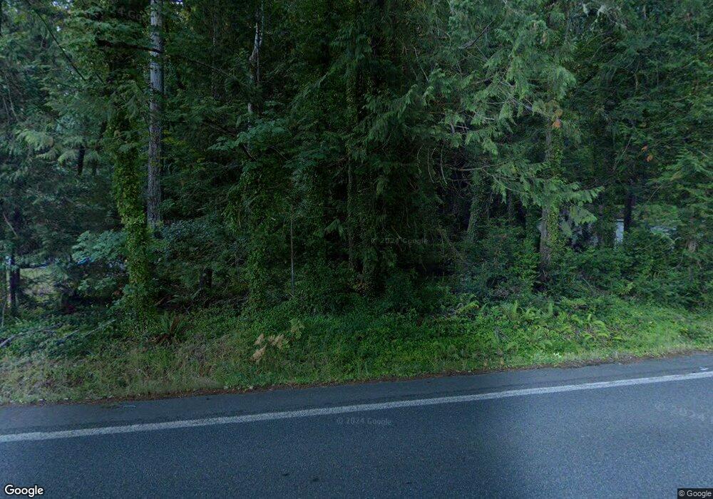
14501 E State Route 106 Belfair, WA 98528
Estimated Value: $467,000 - $630,000
2
Beds
1
Bath
1,040
Sq Ft
$533/Sq Ft
Est. Value
About This Home
This home is located at 14501 E State Route 106, Belfair, WA 98528 and is currently estimated at $554,287, approximately $532 per square foot. 14501 E State Route 106 is a home with nearby schools including North Mason Senior High School.
Ownership History
Date
Name
Owned For
Owner Type
Purchase Details
Closed on
Aug 27, 2015
Sold by
Stimson Bradley O and Stimson Janet D
Bought by
Stimson Bradley O and Stimson Janet D
Current Estimated Value
Home Financials for this Owner
Home Financials are based on the most recent Mortgage that was taken out on this home.
Original Mortgage
$390,400
Interest Rate
3.5%
Mortgage Type
Adjustable Rate Mortgage/ARM
Purchase Details
Closed on
Sep 19, 2005
Sold by
Eade Norman B and Eade Kathryn
Bought by
Stimson Bradley O and Stimson Janet D
Home Financials for this Owner
Home Financials are based on the most recent Mortgage that was taken out on this home.
Original Mortgage
$46,300
Interest Rate
5.72%
Mortgage Type
Future Advance Clause Open End Mortgage
Create a Home Valuation Report for This Property
The Home Valuation Report is an in-depth analysis detailing your home's value as well as a comparison with similar homes in the area
Home Values in the Area
Average Home Value in this Area
Purchase History
| Date | Buyer | Sale Price | Title Company |
|---|---|---|---|
| Stimson Bradley O | -- | First American Title | |
| Stimson Steven W | -- | Title Source Inc | |
| Stimson Bradley O | $463,000 | Mason County Title Ins Co |
Source: Public Records
Mortgage History
| Date | Status | Borrower | Loan Amount |
|---|---|---|---|
| Previous Owner | Stimson Bradley O | $390,400 | |
| Previous Owner | Stimson Bradley O | $46,300 | |
| Previous Owner | Stimson Bradley O | $370,400 |
Source: Public Records
Tax History Compared to Growth
Tax History
| Year | Tax Paid | Tax Assessment Tax Assessment Total Assessment is a certain percentage of the fair market value that is determined by local assessors to be the total taxable value of land and additions on the property. | Land | Improvement |
|---|---|---|---|---|
| 2025 | $3,703 | $470,565 | $254,425 | $216,140 |
| 2023 | $3,703 | $569,500 | $454,335 | $115,165 |
| 2022 | $5,087 | $554,235 | $349,330 | $204,905 |
| 2021 | $4,256 | $554,235 | $349,330 | $204,905 |
| 2020 | $6,129 | $473,400 | $336,185 | $137,215 |
| 2018 | $6,273 | $538,040 | $448,250 | $89,790 |
| 2017 | $5,799 | $538,110 | $448,320 | $89,790 |
| 2016 | $5,993 | $508,595 | $426,970 | $81,625 |
| 2015 | $6,259 | $529,965 | $445,000 | $84,965 |
| 2014 | -- | $545,630 | $465,000 | $80,630 |
| 2013 | -- | $528,030 | $450,000 | $78,030 |
Source: Public Records
Map
Nearby Homes
- 14341 Washington 106
- 14191 Washington 106
- 14160 Washington 106
- 14103 E State Route 106
- 231 E Heights Place N
- 48 E Twanoh Heights Rd N
- 131 E Mountain View Ln
- 151 E Hillside Dr
- 15401 Washington 106
- 60 E Christmas Tree Place
- 13540 E State Route 106
- 400 E Twanoh Falls Dr
- 110 E Canyon View Rd
- 70 E Windy Ridge Ln
- 51 E Windy Ridge Ln
- 121 E Woods Place
- 61 E Woods Place
- 7150 NE North Shore Rd
- 15931 E State Route 106
- 0 E Greenberg Ln
- 14471 E State Route 106
- 14471 E State Route 106
- 14503 E State Route 106
- 14451 E State Route 106
- 14521 E State Route 106
- 14541 E State Route 106
- 14411 E State Route 106
- 14401 E State Route 106
- 14551 E State Route 106
- 14391 E State Route 106
- 14560 E State Route 106
- 14561 E State Route 106
- 14515 E State Route 106
- 14371 E State Route 106
- 14571 E State Route 106
- 14361 E State Route 106
- 14591 E State Route 106
- 14580 E State Route 106
- 14581 E State Route 106
- 14341 E State Route 106
