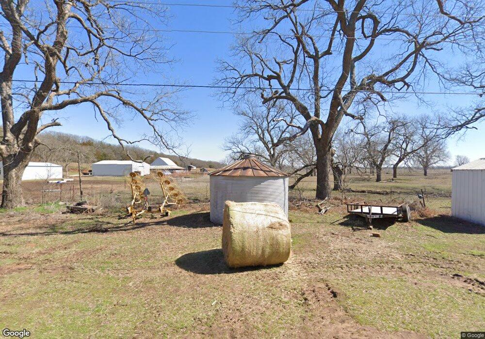
14501 Musson Rd Shawnee, OK 74804
Estimated Value: $263,000 - $416,000
3
Beds
2
Baths
2,948
Sq Ft
$111/Sq Ft
Est. Value
About This Home
This home is located at 14501 Musson Rd, Shawnee, OK 74804 and is currently estimated at $326,778, approximately $110 per square foot. 14501 Musson Rd is a home located in Pottawatomie County.
Ownership History
Date
Name
Owned For
Owner Type
Purchase Details
Closed on
Feb 28, 2014
Sold by
Ball James R
Bought by
Ball & Alsup Management Llc
Current Estimated Value
Purchase Details
Closed on
Oct 31, 2013
Sold by
Ball & Alsup Ranch Llc
Bought by
Ball James R
Home Financials for this Owner
Home Financials are based on the most recent Mortgage that was taken out on this home.
Original Mortgage
$150,400
Interest Rate
4.37%
Mortgage Type
New Conventional
Purchase Details
Closed on
May 27, 2005
Sold by
Ball James R and Alsup Cynthia A
Bought by
Ball & Alsup Management Llc
Create a Home Valuation Report for This Property
The Home Valuation Report is an in-depth analysis detailing your home's value as well as a comparison with similar homes in the area
Home Values in the Area
Average Home Value in this Area
Purchase History
| Date | Buyer | Sale Price | Title Company |
|---|---|---|---|
| Ball & Alsup Management Llc | -- | None Available | |
| Ball James R | -- | First American Title | |
| Ball & Alsup Ranch Llc | -- | First American Title | |
| Ball & Alsup Management Llc | -- | None Available |
Source: Public Records
Mortgage History
| Date | Status | Borrower | Loan Amount |
|---|---|---|---|
| Previous Owner | Ball James R | $150,400 |
Source: Public Records
Tax History Compared to Growth
Tax History
| Year | Tax Paid | Tax Assessment Tax Assessment Total Assessment is a certain percentage of the fair market value that is determined by local assessors to be the total taxable value of land and additions on the property. | Land | Improvement |
|---|---|---|---|---|
| 2025 | $1,335 | $15,682 | $661 | $15,021 |
| 2024 | $1,310 | $15,226 | $642 | $14,584 |
| 2023 | $1,310 | $14,782 | $572 | $14,210 |
| 2022 | $1,245 | $14,351 | $554 | $13,797 |
| 2021 | $1,217 | $14,351 | $554 | $13,797 |
| 2020 | $1,177 | $13,528 | $520 | $13,008 |
| 2019 | $1,152 | $13,134 | $495 | $12,639 |
| 2018 | $1,122 | $12,751 | $473 | $12,278 |
| 2017 | $1,078 | $12,379 | $447 | $11,932 |
| 2016 | $1,055 | $12,019 | $426 | $11,593 |
| 2015 | $902 | $11,669 | $450 | $11,219 |
| 2014 | $874 | $12,687 | $770 | $11,917 |
Source: Public Records
Map
Nearby Homes
- 0 Oak Grove Ct
- 17 Stone River Ranch Dr
- 5 Stone River Ranch Dr
- 11 Stone River Ranch Dr
- 9 Stone River Ranch Dr
- 19 Stone River Ranch Dr
- 12 Stone River Ranch Dr
- 6 Stone River Ranch Dr
- 15 Stone River Ranch Dr
- 4 Stone River Ranch Dr
- 10 Stone River Ranch Dr
- 20 Stone River Ranch Dr
- 14 Stone River Ranch Dr
- 18 Stone River Ranch Dr
- 13 Stone River Ranch Dr
- 12501 Big Sky Dr
- 42 Pam Dr
- 44237 Whitetail Rd
- 44233 Whitetail Rd
- 12906 Waterside Way
- 45002 E Macarthur St
- 10225 Musson Rd
- 13966 Oak Grove Ct
- 13820 Oak Grove Ct
- 13914 Musson Rd
- 44900 E Macarthur St
- 44810 Macarthur St
- 13903 Oak Grove Ct
- 45202 Macarthur St
- 45202 Macarthur St
- 13802 Musson Rd
- 13868 Oak Grove Ct
- 13925 Oak Arbor Ln
- 13713 Musson Rd
- 13710 Musson Rd
- 13881 Oak Arbor Ln
- 13702 Musson Rd
- 44610 E Macarthur St
- 3 Whispering Meadows Rd
- 9 Whispering Meadows Rd
