14503 NE 301st Cir Battle Ground, WA 98604
Estimated Value: $864,000 - $923,556
4
Beds
3
Baths
2,686
Sq Ft
$333/Sq Ft
Est. Value
About This Home
This home is located at 14503 NE 301st Cir, Battle Ground, WA 98604 and is currently estimated at $894,139, approximately $332 per square foot. 14503 NE 301st Cir is a home located in Clark County with nearby schools including Yacolt Primary School, Amboy Middle School, and Battle Ground High School.
Ownership History
Date
Name
Owned For
Owner Type
Purchase Details
Closed on
Mar 22, 2005
Sold by
Goldfinch John R and Goldfinch Carol Albert
Bought by
Condrey Jack A and Condrey Linda Gail
Current Estimated Value
Home Financials for this Owner
Home Financials are based on the most recent Mortgage that was taken out on this home.
Original Mortgage
$250,000
Outstanding Balance
$126,659
Interest Rate
5.6%
Mortgage Type
Credit Line Revolving
Estimated Equity
$767,480
Purchase Details
Closed on
Nov 1, 1996
Sold by
Ken Dee Homes Ltd
Bought by
Goldfinch John R and Goldfinch Carol Albert
Home Financials for this Owner
Home Financials are based on the most recent Mortgage that was taken out on this home.
Original Mortgage
$261,150
Interest Rate
8.06%
Create a Home Valuation Report for This Property
The Home Valuation Report is an in-depth analysis detailing your home's value as well as a comparison with similar homes in the area
Home Values in the Area
Average Home Value in this Area
Purchase History
| Date | Buyer | Sale Price | Title Company |
|---|---|---|---|
| Condrey Jack A | $392,000 | Fidelity National Title | |
| Goldfinch John R | $319,752 | First American Title Co |
Source: Public Records
Mortgage History
| Date | Status | Borrower | Loan Amount |
|---|---|---|---|
| Open | Condrey Jack A | $250,000 | |
| Previous Owner | Goldfinch John R | $261,150 |
Source: Public Records
Tax History Compared to Growth
Tax History
| Year | Tax Paid | Tax Assessment Tax Assessment Total Assessment is a certain percentage of the fair market value that is determined by local assessors to be the total taxable value of land and additions on the property. | Land | Improvement |
|---|---|---|---|---|
| 2025 | $6,748 | $813,537 | $290,113 | $523,424 |
| 2024 | $6,388 | $769,028 | $290,113 | $478,915 |
| 2023 | $6,645 | $818,938 | $299,027 | $519,911 |
| 2022 | $5,780 | $779,527 | $264,542 | $514,985 |
| 2021 | $5,911 | $629,207 | $203,185 | $426,022 |
| 2020 | $2,878 | $587,335 | $195,762 | $391,573 |
| 2019 | $4,771 | $560,776 | $195,762 | $365,014 |
| 2018 | $5,727 | $532,268 | $0 | $0 |
| 2017 | $2,459 | $488,693 | $0 | $0 |
| 2016 | $4,805 | $455,953 | $0 | $0 |
| 2015 | $4,843 | $410,573 | $0 | $0 |
| 2014 | -- | $394,289 | $0 | $0 |
| 2013 | -- | $359,150 | $0 | $0 |
Source: Public Records
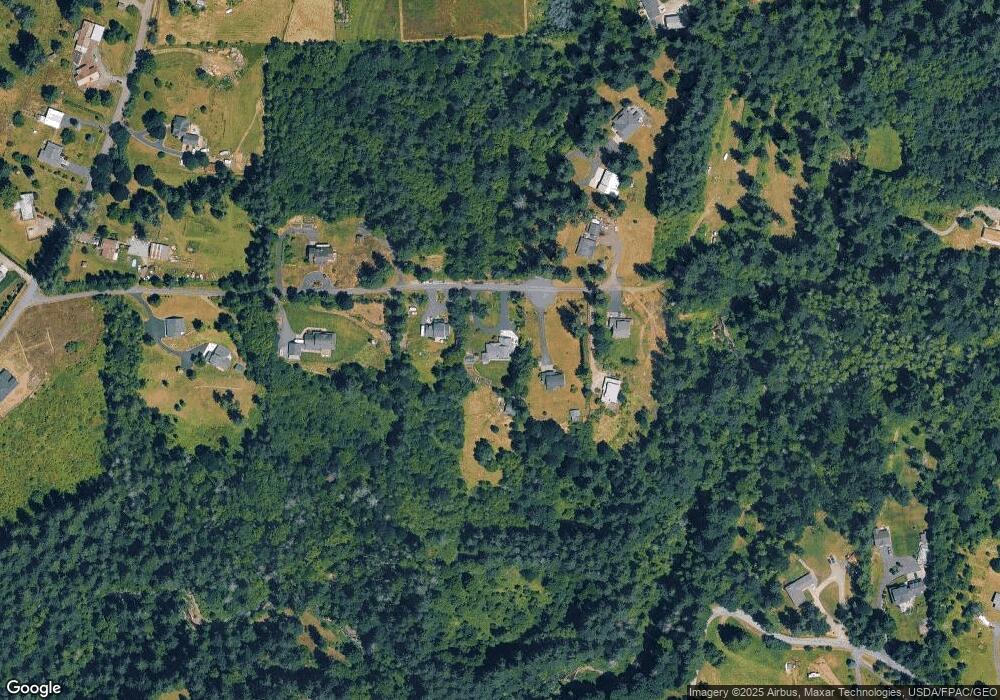
Map
Nearby Homes
- 30108 NE Mcbride Rd
- 29815 NE 152nd Ave
- 29139 NE Hammond Ct
- 13706 NE River Bend Rd
- 29311 NE 124th Ave
- 16808 NE 281st Cir
- 17003 NE 281st Cir
- 16906 NE 281st Cir
- 16807 NE 281st Cir
- 16905 NE 281st Cir
- 16803 NE 281st Cir
- 17000 NE 281st Cir
- 16401 NE 278th St
- 29394 NE Kelly Rd
- 00 NE 324th Cir
- 0 NE 324th Cir
- 9701 NE 299th St
- 28002 NE 168th Ave
- 28006 NE 168th Ave
- 0 NE 279th St Unit 717779825
- 14417 NE 301st Cir
- 14517 NE 301st Cir
- 14601 NE 301st Cir
- 14609 NE 301st Cir
- 14516 NE 301st Cir
- 14303 NE 301st Cir
- 14414 NE 301st Cir
- 14506 NE 301st Cir
- 14105 NE 301st Cir
- 30508 NE 147th Ct
- 30303 NE Mcbride Rd
- 14806 NE Hammond Rd
- 30209 NE Mcbride Rd
- 29513 NE Hammond Ct Unit A
- 14607 NE Hammond Rd
- 14309 NE 306th St
- 14601 NE 306th St
- 29503 NE Hammond Ct
- 14900 NE Hammond Rd
- 14521 NE 306th St