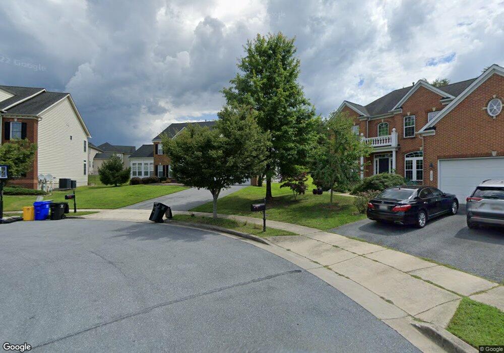
14503 Port Stewart Place Laurel, MD 20707
Estimated Value: $763,838 - $888,000
--
Bed
3
Baths
3,906
Sq Ft
$214/Sq Ft
Est. Value
About This Home
This home is located at 14503 Port Stewart Place, Laurel, MD 20707 and is currently estimated at $836,710, approximately $214 per square foot. 14503 Port Stewart Place is a home located in Prince George's County with nearby schools including Bond Mill Elementary, Martin Luther King Jr. Middle School, and Laurel High School.
Ownership History
Date
Name
Owned For
Owner Type
Purchase Details
Closed on
Jul 17, 2008
Sold by
Nvr Inc
Bought by
Lester Eric J and Lester Jenoyce O
Current Estimated Value
Home Financials for this Owner
Home Financials are based on the most recent Mortgage that was taken out on this home.
Original Mortgage
$640,537
Outstanding Balance
$414,485
Interest Rate
6.13%
Mortgage Type
Purchase Money Mortgage
Estimated Equity
$422,225
Purchase Details
Closed on
Jun 27, 2008
Sold by
Nvr Inc
Bought by
Lester Eric J and Lester Jenoyce O
Home Financials for this Owner
Home Financials are based on the most recent Mortgage that was taken out on this home.
Original Mortgage
$640,537
Outstanding Balance
$414,485
Interest Rate
6.13%
Mortgage Type
Purchase Money Mortgage
Estimated Equity
$422,225
Purchase Details
Closed on
Jan 30, 2008
Sold by
1325 G Street Associates L
Bought by
Nvr Inc
Purchase Details
Closed on
Jan 24, 2008
Sold by
1325 G Street Associates L
Bought by
Nvr Inc
Create a Home Valuation Report for This Property
The Home Valuation Report is an in-depth analysis detailing your home's value as well as a comparison with similar homes in the area
Home Values in the Area
Average Home Value in this Area
Purchase History
| Date | Buyer | Sale Price | Title Company |
|---|---|---|---|
| Lester Eric J | $645,597 | -- | |
| Lester Eric J | $645,597 | -- | |
| Nvr Inc | $117,832 | -- | |
| Nvr Inc | $117,832 | -- |
Source: Public Records
Mortgage History
| Date | Status | Borrower | Loan Amount |
|---|---|---|---|
| Open | Lester Eric J | $640,537 | |
| Closed | Lester Eric J | $640,537 |
Source: Public Records
Tax History Compared to Growth
Tax History
| Year | Tax Paid | Tax Assessment Tax Assessment Total Assessment is a certain percentage of the fair market value that is determined by local assessors to be the total taxable value of land and additions on the property. | Land | Improvement |
|---|---|---|---|---|
| 2025 | $11,156 | $691,500 | $186,700 | $504,800 |
| 2024 | $11,156 | $653,000 | $0 | $0 |
| 2023 | $10,133 | $614,500 | $0 | $0 |
| 2022 | $9,498 | $576,000 | $126,700 | $449,300 |
| 2021 | $9,477 | $558,467 | $0 | $0 |
| 2020 | $7,135 | $540,933 | $0 | $0 |
| 2019 | $10,253 | $523,400 | $100,800 | $422,600 |
| 2018 | $8,755 | $513,500 | $0 | $0 |
| 2017 | $8,681 | $503,600 | $0 | $0 |
| 2016 | -- | $493,700 | $0 | $0 |
| 2015 | $6,910 | $463,000 | $0 | $0 |
| 2014 | $6,910 | $432,300 | $0 | $0 |
Source: Public Records
Map
Nearby Homes
- 1013 Highpoint Trail
- 1023 Flester Ln
- 1027 Overlook Way
- 1106 Overlook Way
- 6703 Bonnett Ct
- 14847 Willow Run Ln
- 14730 Spring Haven Ln
- 7232 Contee Rd
- 13929 Anderson Garden Rd
- 7234 Contee Rd
- 7236 Contee Rd
- Elmwood Rear Load Garage Plan at Anderson's Green
- Elmwood Front Load garage Plan at Anderson's Green
- 7238 Contee Rd
- 7240 Contee Rd
- 14502 Star View Ln
- 13939 Anderson Garden Rd
- 7266 Contee Rd
- 7312 Archsine Ln
- 7709 Killbarron Dr
- 7203 Olive Branch Way
- 14505 Port Stewart Place
- 7205 Olive Branch Way
- 14500 Port Stewart Place
- 14502 Port Stewart Place
- 14504 Port Stewart Place
- 7200 Olive Branch Way
- 7301 Olive Branch Way
- 7202 Olive Branch Way
- 7303 Olive Branch Way
- 7302 Waterloo Walk
- 7302 Olive Branch Way
- 7305 Olive Branch Way
- 7304 Waterloo Walk
- 7304 Olive Branch Way
- 7307 Olive Branch Way
- 7307 Waterloo Walk
- 7306 Waterloo Walk
- 7306 Olive Branch Way
- 14537 Mayfair Dr