14509 Brown Bridge Rd Covington, GA 30016
Estimated Value: $270,000 - $349,000
--
Bed
2
Baths
2,041
Sq Ft
$150/Sq Ft
Est. Value
About This Home
This home is located at 14509 Brown Bridge Rd, Covington, GA 30016 and is currently estimated at $306,106, approximately $149 per square foot. 14509 Brown Bridge Rd is a home located in Newton County with nearby schools including Oak Hill Elementary School, Veterans Memorial Middle School, and Alcovy High School.
Ownership History
Date
Name
Owned For
Owner Type
Purchase Details
Closed on
Jun 6, 2018
Sold by
Ellis Nancy J
Bought by
Frierson James Stanley
Current Estimated Value
Home Financials for this Owner
Home Financials are based on the most recent Mortgage that was taken out on this home.
Original Mortgage
$171,000
Outstanding Balance
$147,886
Interest Rate
4.5%
Mortgage Type
New Conventional
Estimated Equity
$158,220
Purchase Details
Closed on
Oct 4, 2016
Sold by
Flanigan Michael E
Bought by
Ellis Nancy J
Create a Home Valuation Report for This Property
The Home Valuation Report is an in-depth analysis detailing your home's value as well as a comparison with similar homes in the area
Home Values in the Area
Average Home Value in this Area
Purchase History
| Date | Buyer | Sale Price | Title Company |
|---|---|---|---|
| Frierson James Stanley | $180,000 | -- | |
| Ellis Nancy J | -- | -- |
Source: Public Records
Mortgage History
| Date | Status | Borrower | Loan Amount |
|---|---|---|---|
| Open | Frierson James Stanley | $171,000 |
Source: Public Records
Tax History Compared to Growth
Tax History
| Year | Tax Paid | Tax Assessment Tax Assessment Total Assessment is a certain percentage of the fair market value that is determined by local assessors to be the total taxable value of land and additions on the property. | Land | Improvement |
|---|---|---|---|---|
| 2024 | $2,884 | $117,720 | $20,000 | $97,720 |
| 2023 | $2,807 | $107,320 | $10,000 | $97,320 |
| 2022 | $2,379 | $91,560 | $10,000 | $81,560 |
| 2021 | $2,567 | $88,520 | $6,000 | $82,520 |
| 2020 | $2,202 | $69,440 | $6,000 | $63,440 |
| 2019 | $2,206 | $68,560 | $6,000 | $62,560 |
| 2018 | $1,780 | $51,840 | $6,000 | $45,840 |
| 2017 | $1,686 | $49,120 | $6,000 | $43,120 |
| 2016 | $1,326 | $42,520 | $6,000 | $36,520 |
| 2015 | $1,316 | $42,240 | $6,000 | $36,240 |
| 2014 | $1,314 | $42,240 | $0 | $0 |
Source: Public Records
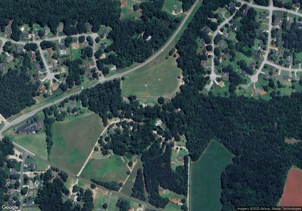
Map
Nearby Homes
- 1020 Thornwood Cir
- 80 Trotters Walk
- 1120 Kinnett Rd
- 170 Gibson Way
- 14845 Brown Bridge Rd
- 65 King James Ct SE
- 330 Christian Woods Dr SE
- 14908 Brown Bridge Rd
- 4824 Georgia 20
- 4822 Navajo Trail SE
- 926 Bell Rd SE
- 13935 Brown Bridge Rd
- 100 Creekside Ln
- 4773 Bell Cir SE
- 4710 Cedar Brook Dr SE
- 821 Greenwood Trail SE
- 4753 Bell Cir SE
- 4670 Cedar Brook Dr SE
- 824 Cedar Lake Dr SE
- 14519 Brown Bridge Rd
- 80 Paces Landing
- 1100 Thornwood Cir
- 90 Paces Landing
- 748 Magnet Rd
- 70 Paces Landing
- 14440 Brown Bridge Rd
- 14440 Brown Bridge Rd Unit 8.690AC
- 14440 Brown Bridge Rd Unit 5.30AC
- 1090 Thornwood Cir
- 60 Paces Landing
- 85 Paces Landing
- 1101 Thornwood Cir Unit 84
- 1101 Thornwood Cir
- 1080 Thornwood Cir
- 75 Paces Landing
- 50 Paces Landing
- 1091 Thornwood Cir
- 14579 Brown Bridge Rd
- 65 Paces Landing