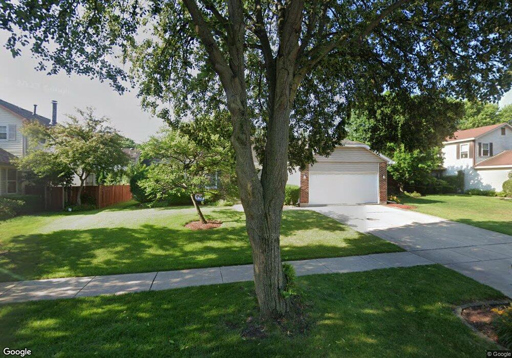
1451 Countryside Dr Buffalo Grove, IL 60089
South Buffalo Grove NeighborhoodEstimated Value: $504,990 - $641,000
3
Beds
2
Baths
1,457
Sq Ft
$375/Sq Ft
Est. Value
About This Home
This home is located at 1451 Countryside Dr, Buffalo Grove, IL 60089 and is currently estimated at $546,498, approximately $375 per square foot. 1451 Countryside Dr is a home located in Cook County with nearby schools including Henry W Longfellow Elementary School, Cooper Middle School, and Buffalo Grove High School.
Ownership History
Date
Name
Owned For
Owner Type
Purchase Details
Closed on
Oct 14, 2011
Sold by
Defano Michelle M
Bought by
Hoyt Steven R and Hoyt Dara L
Current Estimated Value
Home Financials for this Owner
Home Financials are based on the most recent Mortgage that was taken out on this home.
Original Mortgage
$260,900
Outstanding Balance
$178,115
Interest Rate
4.12%
Mortgage Type
New Conventional
Estimated Equity
$368,383
Purchase Details
Closed on
Jun 11, 1998
Sold by
Defano Michelle M
Bought by
Defano Michelle M and Michelle M Defano Trust
Purchase Details
Closed on
Aug 15, 1994
Sold by
Motupalli Seetaram
Bought by
Defano Michelle M
Home Financials for this Owner
Home Financials are based on the most recent Mortgage that was taken out on this home.
Original Mortgage
$110,000
Interest Rate
8.72%
Create a Home Valuation Report for This Property
The Home Valuation Report is an in-depth analysis detailing your home's value as well as a comparison with similar homes in the area
Home Values in the Area
Average Home Value in this Area
Purchase History
| Date | Buyer | Sale Price | Title Company |
|---|---|---|---|
| Hoyt Steven R | $290,000 | Fidelity National Title | |
| Defano Michelle M | -- | -- | |
| Defano Michelle M | $186,000 | Republic Title Company |
Source: Public Records
Mortgage History
| Date | Status | Borrower | Loan Amount |
|---|---|---|---|
| Open | Hoyt Steven R | $260,900 | |
| Previous Owner | Defano Michelle M | $110,000 |
Source: Public Records
Tax History Compared to Growth
Tax History
| Year | Tax Paid | Tax Assessment Tax Assessment Total Assessment is a certain percentage of the fair market value that is determined by local assessors to be the total taxable value of land and additions on the property. | Land | Improvement |
|---|---|---|---|---|
| 2024 | $10,264 | $35,386 | $8,425 | $26,961 |
| 2023 | $9,843 | $35,386 | $8,425 | $26,961 |
| 2022 | $9,843 | $35,386 | $8,425 | $26,961 |
| 2021 | $9,751 | $30,929 | $4,786 | $26,143 |
| 2020 | $9,567 | $30,929 | $4,786 | $26,143 |
| 2019 | $9,614 | $34,481 | $4,786 | $29,695 |
| 2018 | $10,781 | $34,740 | $4,212 | $30,528 |
| 2017 | $10,603 | $34,740 | $4,212 | $30,528 |
| 2016 | $10,222 | $35,044 | $4,212 | $30,832 |
| 2015 | $9,520 | $30,645 | $3,638 | $27,007 |
| 2014 | $9,380 | $30,645 | $3,638 | $27,007 |
| 2013 | $8,653 | $30,645 | $3,638 | $27,007 |
Source: Public Records
Map
Nearby Homes
- 715 W Whiting Ln
- 812 W Whiting Ln
- 811 W Nichols Rd
- 715 W Happfield Dr
- 751 W Happfield Dr Unit 30
- 705 Grove Dr Unit 101
- 921 Bernard Dr
- 720 Weidner Rd Unit 302
- 1631 W Partridge Ct Unit 8
- 859 Beechwood Rd
- 6 Villa Verde Dr Unit 103
- 4210 N Mallard Dr Unit 4
- 571 Estate Dr
- 813 Stradford Cir Unit 21B2
- 535 Estate Dr
- 820 Weidner Rd Unit 4013
- 820 Weidner Rd Unit 409
- 18 E Heritage Ct
- 1942 Trail Ridge St
- 3227 N Heritage Ln
- 1461 Countryside Dr
- 1441 Countryside Dr
- 1412 Rachel Ln
- 1408 Rachel Ln
- 1414 Rachel Ln
- 1471 Countryside Dr
- 1460 Countryside Dr
- 1450 Countryside Dr
- 1416 Rachel Ln
- 1440 Countryside Dr
- 1470 Countryside Dr
- 1481 Countryside Dr
- 1401 Rachel Ln
- 1430 Countryside Dr
- 1403 Rachel Ln
- 1480 Countryside Dr
- 1405 Rachel Ln
- 1413 Rachel Ln
- 1509 Countryside Dr
- 615 W Whiting Ln