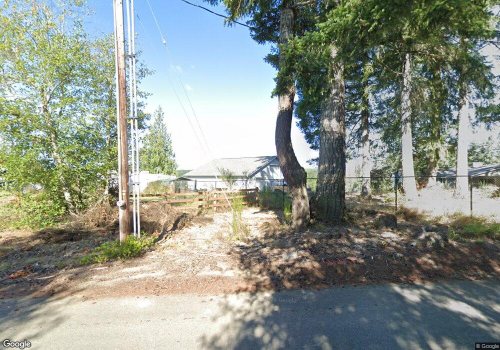
1451 E Anthony Rd Grapeview, WA 98546
Estimated Value: $689,000 - $993,173
3
Beds
3
Baths
3,125
Sq Ft
$269/Sq Ft
Est. Value
About This Home
This home is located at 1451 E Anthony Rd, Grapeview, WA 98546 and is currently estimated at $840,043, approximately $268 per square foot. 1451 E Anthony Rd is a home located in Mason County with nearby schools including Pioneer Primary School, Pioneer Intermediate/Middle School, and Abba's Garden Academy.
Ownership History
Date
Name
Owned For
Owner Type
Purchase Details
Closed on
May 14, 2019
Sold by
Sampson John A and Sampson Susan T
Bought by
Joseph Ronald W T
Current Estimated Value
Home Financials for this Owner
Home Financials are based on the most recent Mortgage that was taken out on this home.
Original Mortgage
$384,000
Outstanding Balance
$336,928
Interest Rate
4.1%
Mortgage Type
New Conventional
Estimated Equity
$503,115
Create a Home Valuation Report for This Property
The Home Valuation Report is an in-depth analysis detailing your home's value as well as a comparison with similar homes in the area
Purchase History
| Date | Buyer | Sale Price | Title Company |
|---|---|---|---|
| Joseph Ronald W T | $479,719 | Land Title Co |
Source: Public Records
Mortgage History
| Date | Status | Borrower | Loan Amount |
|---|---|---|---|
| Open | Joseph Ronald W T | $384,000 |
Source: Public Records
Tax History
| Year | Tax Paid | Tax Assessment Tax Assessment Total Assessment is a certain percentage of the fair market value that is determined by local assessors to be the total taxable value of land and additions on the property. | Land | Improvement |
|---|---|---|---|---|
| 2025 | $5,786 | $785,310 | $234,755 | $550,555 |
| 2023 | $5,786 | $810,490 | $200,445 | $610,045 |
| 2022 | $7,278 | $752,760 | $206,635 | $546,125 |
| 2021 | $6,499 | $752,760 | $206,635 | $546,125 |
| 2020 | $6,771 | $619,885 | $179,685 | $440,200 |
| 2018 | $5,506 | $483,070 | $148,500 | $334,570 |
| 2017 | $3,363 | $483,060 | $148,490 | $334,570 |
| 2016 | $3,369 | $303,940 | $104,245 | $199,695 |
| 2015 | $2,930 | $303,940 | $104,245 | $199,695 |
| 2014 | -- | $293,865 | $98,980 | $194,885 |
| 2013 | -- | $279,120 | $94,770 | $184,350 |
Source: Public Records
Map
Nearby Homes
- 0 E Cottonwood Dr Unit 13 NWM2308746
- 0 E Cottonwood Dr Unit 40
- 0 E Cottonwood Dr Unit 40 NWM2308766
- 0 E Cottonwood Dr Unit 13 24324515
- 4 E Cottonwood Dr
- 50 E Lookout Ct
- 0 E Savage Ln
- 81 E Panorama Way
- 1236 E Island View Rd
- 0 E Pickering Rd Unit 26331204
- 51 E Lynda Ln W
- 0 E Strong Rd Unit 34 24009692
- 0 E Strong Rd Unit 43 24316768
- 0 E Strong Rd Unit 34 NWM2308734
- 0 E Strong Rd Unit 43 NWM2308755
- 0 E Passage View Rd Unit NWM2457101
- 920 E Mason Lake Dr S
- 670 E Wilson Way
- 161 E Geist Point Dr
- 11 E Geist Point Rd
- 0 E Centerline Rd
- 91 E Leffler Ln
- 31 E Leffler Ln
- 11 E Centerline Rd
- 40 E Centerline Rd
- 60 E Leffler Ln
- 151 E Centerline Rd
- 120 E Eldamar Hollow
- 110 E Eldamar Hollow
- 0 L3C E Olyview Rd
- 31 E Olyview Rd
- 61 E Olyview Rd
- 71 E Olyview Rd
- 141 E Olyview Rd
- 121 E Olyview Rd
- 101 E Olyview Rd
- 105 E Olyview Rd
- 140 E Olyview Rd
- 103 E Olyview Rd
- 30 E Olyview Rd
Your Personal Tour Guide
Ask me questions while you tour the home.