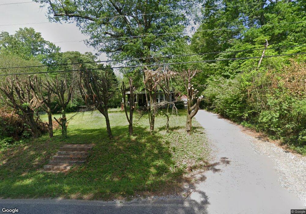
1451 Old Canton Rd Ball Ground, GA 30107
Estimated Value: $250,171 - $309,000
2
Beds
1
Bath
1,064
Sq Ft
$259/Sq Ft
Est. Value
About This Home
This home is located at 1451 Old Canton Rd, Ball Ground, GA 30107 and is currently estimated at $275,793, approximately $259 per square foot. 1451 Old Canton Rd is a home with nearby schools including Ball Ground Elementary School, Creekland Middle School, and Creekview High School.
Ownership History
Date
Name
Owned For
Owner Type
Purchase Details
Closed on
Apr 28, 2000
Sold by
Amos Mark A
Bought by
Amos Mark A and Amos Rebecca
Current Estimated Value
Home Financials for this Owner
Home Financials are based on the most recent Mortgage that was taken out on this home.
Original Mortgage
$75,150
Outstanding Balance
$26,130
Interest Rate
8.23%
Mortgage Type
New Conventional
Estimated Equity
$249,663
Purchase Details
Closed on
Nov 21, 1997
Sold by
Gumbert Eva L and Gumbert Sarah L
Bought by
Perry Julia L
Home Financials for this Owner
Home Financials are based on the most recent Mortgage that was taken out on this home.
Original Mortgage
$52,400
Interest Rate
7.27%
Mortgage Type
New Conventional
Create a Home Valuation Report for This Property
The Home Valuation Report is an in-depth analysis detailing your home's value as well as a comparison with similar homes in the area
Home Values in the Area
Average Home Value in this Area
Purchase History
| Date | Buyer | Sale Price | Title Company |
|---|---|---|---|
| Amos Mark A | -- | -- | |
| Amos Mark A | $83,500 | -- | |
| Perry Julia L | $69,900 | -- |
Source: Public Records
Mortgage History
| Date | Status | Borrower | Loan Amount |
|---|---|---|---|
| Open | Amos Mark A | $75,150 | |
| Previous Owner | Perry Julia L | $52,400 |
Source: Public Records
Tax History Compared to Growth
Tax History
| Year | Tax Paid | Tax Assessment Tax Assessment Total Assessment is a certain percentage of the fair market value that is determined by local assessors to be the total taxable value of land and additions on the property. | Land | Improvement |
|---|---|---|---|---|
| 2024 | $1,552 | $67,840 | $20,000 | $47,840 |
| 2023 | $846 | $54,960 | $20,000 | $34,960 |
| 2022 | $1,174 | $49,240 | $20,000 | $29,240 |
| 2021 | $1,104 | $42,040 | $20,000 | $22,040 |
| 2020 | $960 | $36,000 | $14,400 | $21,600 |
| 2019 | $920 | $34,600 | $14,400 | $20,200 |
| 2018 | $807 | $30,480 | $13,000 | $17,480 |
| 2017 | $710 | $67,300 | $12,000 | $14,920 |
| 2016 | $661 | $62,500 | $11,480 | $13,520 |
| 2015 | $674 | $63,100 | $11,480 | $13,760 |
| 2014 | $682 | $63,600 | $11,480 | $13,960 |
Source: Public Records
Map
Nearby Homes
- 9975 Ball Ground Hwy
- 463 Tom Avery Dr
- 150 N Mountain Brooke Dr
- 608 Madison Ct
- 450 Tom Avery Dr
- 10494 Ball Ground Hwy
- 421 Tom Avery Dr
- 277 Reese Way
- 417 Tom Avery Dr
- 323 Reese Way
- 338 Reese Way
- 127 Mills Ln
- 210 S Mountain Brook Way
- The Dillard Plan at Malone’s Pond
- The Evans Plan at Malone’s Pond
- The Vinings Plan at Malone’s Pond
- The Brooks Plan at Malone’s Pond
- The Bainbridge Plan at Malone’s Pond
- The Ashburn Plan at Malone’s Pond
- 2323 Old Canton Ct
- 1480 Old Canton Rd
- 105 Old Canton Ct
- 125 Old Canton Ct
- 1547 Old Canton Rd
- 1524 Old Canton Rd
- 1286 Old Canton Rd Unit CANTON
- 1530 Old Canton Rd
- 1561 Old Canton Rd
- 1426 Old Canton Rd
- 1574 Old Canton Rd
- 1587 Old Canton Rd
- 1628 Old Canton Rd
- 10150 Ball Ground Hwy Unit 106
- 10150 Ball Ground Hwy Unit 103
- 10150 Ball Ground Hwy
- 10150 Ball Ground Hwy Unit 400
- 10150 Ball Ground Hwy Unit 206
- 10150 Ball Ground Hwy Unit 108
- 170 N Mountain Brooke Dr