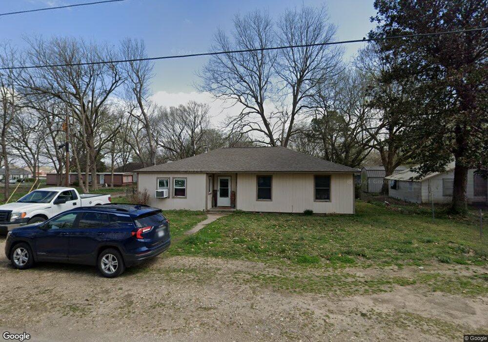
1451 S Locust Ave Westville, OK 74965
Estimated Value: $78,175 - $172,000
3
Beds
1
Bath
1,440
Sq Ft
$93/Sq Ft
Est. Value
About This Home
This home is located at 1451 S Locust Ave, Westville, OK 74965 and is currently estimated at $134,044, approximately $93 per square foot. 1451 S Locust Ave is a home with nearby schools including Westville Elementary School, Westville Junior High School, and Westville High School.
Ownership History
Date
Name
Owned For
Owner Type
Purchase Details
Closed on
Feb 14, 2011
Sold by
Mcguire Elmo and Mcguire Wanda
Bought by
Singleterry Joshua
Current Estimated Value
Home Financials for this Owner
Home Financials are based on the most recent Mortgage that was taken out on this home.
Original Mortgage
$15,000
Interest Rate
4.86%
Mortgage Type
New Conventional
Create a Home Valuation Report for This Property
The Home Valuation Report is an in-depth analysis detailing your home's value as well as a comparison with similar homes in the area
Home Values in the Area
Average Home Value in this Area
Purchase History
| Date | Buyer | Sale Price | Title Company |
|---|---|---|---|
| Singleterry Joshua | $15,000 | None Available |
Source: Public Records
Mortgage History
| Date | Status | Borrower | Loan Amount |
|---|---|---|---|
| Closed | Singleterry Joshua | $15,000 |
Source: Public Records
Tax History Compared to Growth
Tax History
| Year | Tax Paid | Tax Assessment Tax Assessment Total Assessment is a certain percentage of the fair market value that is determined by local assessors to be the total taxable value of land and additions on the property. | Land | Improvement |
|---|---|---|---|---|
| 2025 | $275 | $3,690 | $600 | $3,090 |
| 2024 | $275 | $3,514 | $600 | $2,914 |
| 2023 | $275 | $3,347 | $600 | $2,747 |
| 2022 | $249 | $3,187 | $600 | $2,587 |
| 2021 | $258 | $3,290 | $600 | $2,690 |
| 2020 | $265 | $3,368 | $600 | $2,768 |
| 2019 | $266 | $3,368 | $600 | $2,768 |
| 2018 | $261 | $3,447 | $600 | $2,847 |
| 2017 | $270 | $3,527 | $600 | $2,927 |
| 2016 | $270 | $3,496 | $600 | $2,896 |
| 2015 | $235 | $3,330 | $600 | $2,730 |
| 2014 | $235 | $3,330 | $600 | $2,730 |
Source: Public Records
Map
Nearby Homes
- 69652 Highway 59
- 69652 Hwy 59
- 1759 Morris Rd
- 1727 Morris Rd
- 2047 Morris Rd
- 212 E Pine St
- 410 S Locust Ave
- 627 W Pine St
- 1256 W Pine St
- 503 Locust Ave
- 409 E Pine St
- 1412 Locust Ave
- 410 N Locust Ave
- 212 W Pine St
- 510 S Locust St
- 1343 W Delaware St
- 204 W Pine St
- 63430 S 4673 Rd
- 523 N Locust St
- 524 Locust St