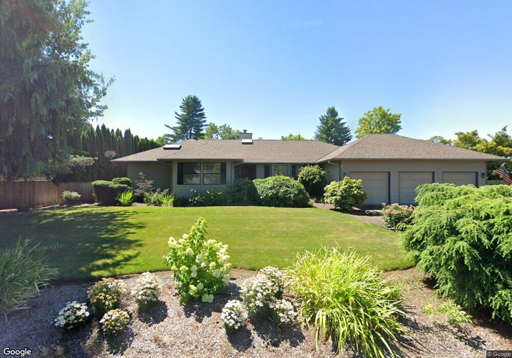
14510 NE Mulligan Ct Aurora, OR 97002
Estimated Value: $752,185 - $916,000
3
Beds
5
Baths
2,013
Sq Ft
$407/Sq Ft
Est. Value
About This Home
This home is located at 14510 NE Mulligan Ct, Aurora, OR 97002 and is currently estimated at $819,546, approximately $407 per square foot. 14510 NE Mulligan Ct is a home located in Clackamas County with nearby schools including Josefa L. Sambrano Elementary School, Baker Prairie Middle School, and Canby High School.
Ownership History
Date
Name
Owned For
Owner Type
Purchase Details
Closed on
Oct 4, 2004
Sold by
Anderson John D and Anderson Angela M
Bought by
Anderson John D
Current Estimated Value
Home Financials for this Owner
Home Financials are based on the most recent Mortgage that was taken out on this home.
Original Mortgage
$281,000
Interest Rate
5.72%
Mortgage Type
New Conventional
Purchase Details
Closed on
Mar 14, 2001
Sold by
Anderson Paul N and Anderson Renee S
Bought by
Anderson John D and Anderson Angela M
Home Financials for this Owner
Home Financials are based on the most recent Mortgage that was taken out on this home.
Original Mortgage
$228,700
Interest Rate
7.19%
Create a Home Valuation Report for This Property
The Home Valuation Report is an in-depth analysis detailing your home's value as well as a comparison with similar homes in the area
Home Values in the Area
Average Home Value in this Area
Purchase History
| Date | Buyer | Sale Price | Title Company |
|---|---|---|---|
| Anderson John D | -- | Fidelity Natl Title Co Of Or | |
| Anderson John D | $286,000 | Fidelity National Title Co |
Source: Public Records
Mortgage History
| Date | Status | Borrower | Loan Amount |
|---|---|---|---|
| Closed | Anderson John D | $281,000 | |
| Closed | Anderson John D | $228,700 |
Source: Public Records
Tax History Compared to Growth
Tax History
| Year | Tax Paid | Tax Assessment Tax Assessment Total Assessment is a certain percentage of the fair market value that is determined by local assessors to be the total taxable value of land and additions on the property. | Land | Improvement |
|---|---|---|---|---|
| 2025 | $6,611 | $468,879 | -- | -- |
| 2024 | $6,428 | $455,223 | -- | -- |
| 2023 | $6,428 | $441,965 | $0 | $0 |
| 2022 | $5,864 | $429,093 | $0 | $0 |
| 2021 | $5,634 | $416,596 | $0 | $0 |
| 2020 | $5,554 | $404,463 | $0 | $0 |
| 2019 | $5,262 | $392,683 | $0 | $0 |
| 2018 | $5,057 | $381,246 | $0 | $0 |
| 2017 | $4,938 | $370,142 | $0 | $0 |
| 2016 | $4,770 | $359,361 | $0 | $0 |
| 2015 | $4,605 | $348,894 | $0 | $0 |
| 2014 | $4,385 | $338,732 | $0 | $0 |
Source: Public Records
Map
Nearby Homes
- 14555 NE Mulligan Ct
- 24960 NE Prairie View Dr
- 24994 NE Prairie View Dr
- 32545 SW Juliette Dr
- 32655 SW Lake Point Ct
- 32465 SW Lake Point Ct
- 7995 SW Sacajawea Way
- 32120 SW Boones Bend Rd
- 32525 SW Arbor Lake Dr
- 32455 SW Arbor Lake Dr
- 32082 SW Charbonneau Dr
- 7445 SW Greens View Ct
- 7430 SW Greens View Ct
- 7680 SW Arbor Lake Ct
- 7725 SW Arbor Lake Ct
- 7705 SW Arbor Lake Ct
- 8710 SW Curry Dr
- 32580 SW Arbor Lake Dr
- 8515 SW Curry Dr Unit D
- 8425 SW Curry Dr
- 24759 NE Prairie View Dr
- 14550 NE Mulligan Ct
- 14505 NE Mulligan Ct
- 24699 NE Prairie View Dr
- 14545 NE Mulligan Ct
- 24950 NE Airport Rd
- 24715 NE Prairie View Dr
- 14570 NE Mulligan Ct
- 14585 NE Mulligan Ct
- 24747 NE Prairie View Dr
- 14620 NE Mulligan Ct
- 24752 NE Prairie View Dr
- 24751 NE Prairie View Dr
- 24895 NE Prairie View Dr
- 24913 NE Prairie View Dr
- 24835 NE Prairie View Dr
- 25028 NE Airport Rd
- 24885 NE Prairie View Dr
- 24780 NE Prairie View Dr
- 24935 NE Prairie View Dr