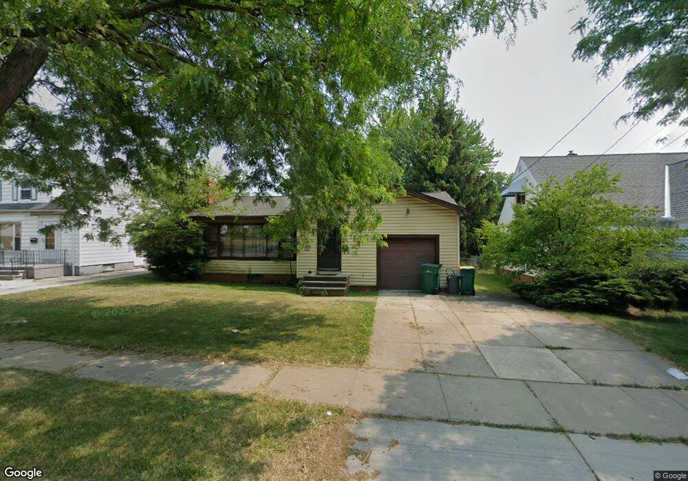
14512 Rockside Rd Maple Heights, OH 44137
Estimated Value: $130,178 - $172,000
2
Beds
2
Baths
1,313
Sq Ft
$110/Sq Ft
Est. Value
About This Home
This home is located at 14512 Rockside Rd, Maple Heights, OH 44137 and is currently estimated at $144,545, approximately $110 per square foot. 14512 Rockside Rd is a home located in Cuyahoga County with nearby schools including Abraham Lincoln Elementary School, Rockside/ J.F. Kennedy School, and Barack Obama School.
Ownership History
Date
Name
Owned For
Owner Type
Purchase Details
Closed on
Oct 21, 2009
Sold by
Tench Maureen C
Bought by
Knight Richelle M
Current Estimated Value
Home Financials for this Owner
Home Financials are based on the most recent Mortgage that was taken out on this home.
Original Mortgage
$53,985
Outstanding Balance
$34,566
Interest Rate
5.1%
Mortgage Type
FHA
Estimated Equity
$109,979
Purchase Details
Closed on
Dec 30, 1991
Sold by
Bartko Robert A and V T
Bought by
Bartko Victoria T
Purchase Details
Closed on
Mar 15, 1985
Sold by
Bartko Robert A and Bartko Victoria T
Bought by
Bartko Robert A and Bartko T
Purchase Details
Closed on
Jan 1, 1975
Bought by
Bartko Robert A and Bartko Victoria T
Create a Home Valuation Report for This Property
The Home Valuation Report is an in-depth analysis detailing your home's value as well as a comparison with similar homes in the area
Home Values in the Area
Average Home Value in this Area
Purchase History
| Date | Buyer | Sale Price | Title Company |
|---|---|---|---|
| Knight Richelle M | $35,000 | Chicago Title Insurance Co | |
| Bartko Victoria T | -- | -- | |
| Bartko Robert A | -- | -- | |
| Bartko Robert A | -- | -- |
Source: Public Records
Mortgage History
| Date | Status | Borrower | Loan Amount |
|---|---|---|---|
| Open | Knight Richelle M | $53,985 |
Source: Public Records
Tax History
| Year | Tax Paid | Tax Assessment Tax Assessment Total Assessment is a certain percentage of the fair market value that is determined by local assessors to be the total taxable value of land and additions on the property. | Land | Improvement |
|---|---|---|---|---|
| 2025 | $3,496 | $43,155 | $7,280 | $35,875 |
| 2024 | $3,884 | $43,155 | $7,280 | $35,875 |
| 2023 | $2,598 | $23,980 | $6,060 | $17,920 |
| 2022 | $2,588 | $23,980 | $6,060 | $17,920 |
| 2021 | $2,757 | $23,980 | $6,060 | $17,920 |
| 2020 | $2,361 | $18,170 | $4,590 | $13,580 |
| 2019 | $2,344 | $51,900 | $13,100 | $38,800 |
| 2018 | $2,151 | $18,170 | $4,590 | $13,580 |
| 2017 | $2,129 | $15,890 | $3,780 | $12,110 |
| 2016 | $2,056 | $15,890 | $3,780 | $12,110 |
| 2015 | $1,947 | $15,890 | $3,780 | $12,110 |
| 2014 | $1,947 | $16,390 | $3,890 | $12,500 |
Source: Public Records
Map
Nearby Homes
- 14808 James Ave
- 14214 Tabor Ave
- 14012 Wheeler Rd
- 14203 Tabor Ave
- 14320 Janice Dr
- 5853 Monica Ln
- 13804 Rockside Rd
- 14413 Krems Ave
- 14112 Krems Ave
- 13905 Thraves Ave
- 5948 Dunham Rd
- 13800 Milo Rd
- 13810 Martin Dr
- 15313 Fernway Dr
- 15800 Northwood Ave
- 6039 E 135th St
- 13741 Grove Dr
- 15817 Northwood Ave
- 6045 Dunham Rd
- 14956 Carol Dr
- 14516 Rockside Rd
- 14508 Rockside Rd
- 14450 Rockside Rd
- 14413 Wheeler Rd
- 14409 Wheeler Rd
- 14417 Wheeler Rd
- 14405 Wheeler Rd
- 14412 Rockside Rd
- 14513 Rockside Rd
- 14501 Wheeler Rd
- 14401 Wheeler Rd
- 14408 Rockside Rd
- 14519 Rockside Rd
- 14501 Rockside Rd
- 14612 Rockside Rd
- 14551 Rockside Rd
- 14317 Wheeler Rd
- 14505 Wheeler Rd
- 14409 Rockside Rd
- 14404 Rockside Rd
Your Personal Tour Guide
Ask me questions while you tour the home.