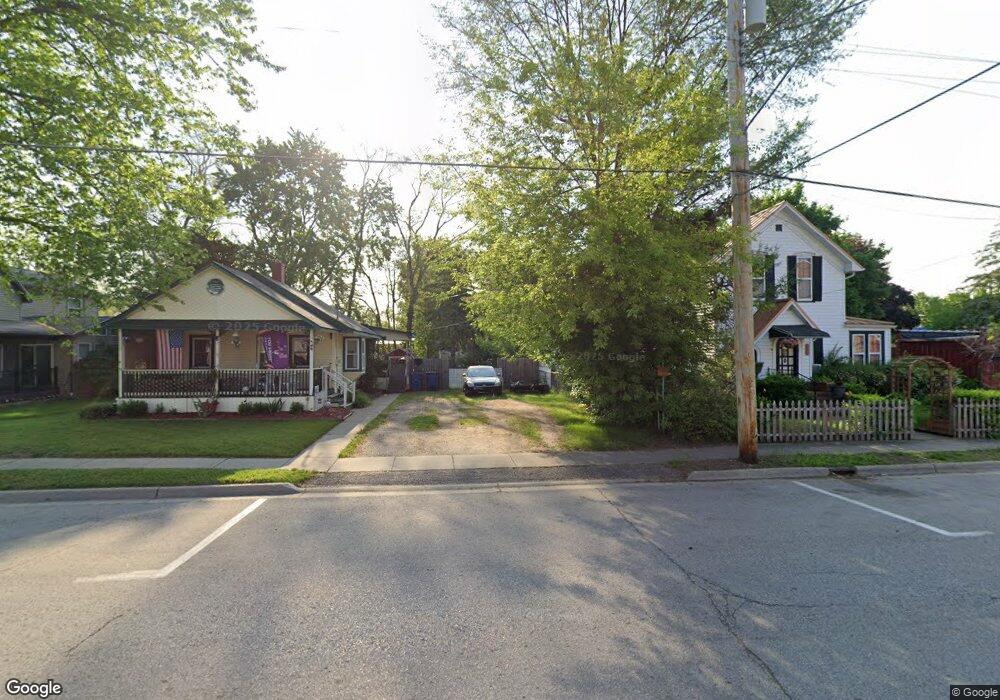
14515 E Street Rd Montrose, MI 48457
Estimated Value: $277,000 - $381,300
5
Beds
3
Baths
2,898
Sq Ft
$113/Sq Ft
Est. Value
About This Home
This home is located at 14515 E Street Rd, Montrose, MI 48457 and is currently estimated at $327,433, approximately $112 per square foot. 14515 E Street Rd is a home located in Saginaw County with nearby schools including Big Rock Elementary School, Chesaning Middle School, and Chesaning Union High School.
Ownership History
Date
Name
Owned For
Owner Type
Purchase Details
Closed on
Nov 11, 2021
Sold by
Soper Jeffery H and Estate Of Harold Eldred Soper
Bought by
Hodges Kelly S and Hodges Megan A
Current Estimated Value
Purchase Details
Closed on
Nov 16, 2001
Sold by
Barber Gordon L and Barber Marsha E
Bought by
Soper Harold E and Soper Joyce A
Home Financials for this Owner
Home Financials are based on the most recent Mortgage that was taken out on this home.
Original Mortgage
$160,000
Interest Rate
6.95%
Create a Home Valuation Report for This Property
The Home Valuation Report is an in-depth analysis detailing your home's value as well as a comparison with similar homes in the area
Home Values in the Area
Average Home Value in this Area
Purchase History
| Date | Buyer | Sale Price | Title Company |
|---|---|---|---|
| Hodges Kelly S | -- | None Available | |
| Soper Harold E | $195,000 | -- |
Source: Public Records
Mortgage History
| Date | Status | Borrower | Loan Amount |
|---|---|---|---|
| Previous Owner | Soper Harold E | $160,000 |
Source: Public Records
Tax History Compared to Growth
Tax History
| Year | Tax Paid | Tax Assessment Tax Assessment Total Assessment is a certain percentage of the fair market value that is determined by local assessors to be the total taxable value of land and additions on the property. | Land | Improvement |
|---|---|---|---|---|
| 2025 | $4,590 | $170,800 | $0 | $0 |
| 2024 | $1,455 | $156,800 | $0 | $0 |
| 2023 | $1,386 | $137,000 | $0 | $0 |
| 2022 | $6,160 | $120,000 | $0 | $0 |
| 2021 | $2,989 | $113,400 | $0 | $0 |
| 2020 | $2,930 | $103,100 | $0 | $0 |
| 2019 | $2,786 | $101,700 | $10,700 | $91,000 |
| 2018 | $975 | $99,800 | $0 | $0 |
| 2017 | $2,507 | $105,900 | $0 | $0 |
| 2016 | $2,490 | $107,900 | $0 | $0 |
| 2014 | -- | $89,500 | $0 | $78,700 |
| 2013 | -- | $89,500 | $0 | $0 |
Source: Public Records
Map
Nearby Homes
- 14389 East Rd
- 14108 Sheridan Rd
- 12403 Willard Rd
- 12350 Sheridan Rd
- 0 Bueche Rd
- 14478 Duffield Rd
- 2955 W Burt Rd
- 11200 Willard Rd
- 11207 Willard Rd
- 13886 Litchfield Rd
- 12505 Bueche Rd
- W Birch Run Rd
- 11141 Farrand Rd
- 11435 Duffield Rd
- 11038 Farrand Rd
- 13481 Seymour Rd
- 11348 Duffield Rd
- 12711 Nichols Rd
- 12601 Nichols Rd
- 124 Eastman St
- 14521 E Street Rd
- 1496 Chesaning Rd
- 1468 Chesaning Rd
- 2012 Chesaning Rd
- 1467 Chesaning Rd
- 15011 E Street Rd
- 1437 Chesaning Rd
- 14388 East Rd
- 15016 E Street Rd
- 14389 E Street Rd
- 15051 E Street Rd
- 15052 East Rd
- 1000 Chesaning Rd
- 1366 Chesaning Rd
- 1350 Chesaning Rd
- 15052 E Street Rd
- 14330 E Street Rd
- 1322 Chesaning Rd
- 1333 Chesaning Rd
- 2144 Chesaning Rd