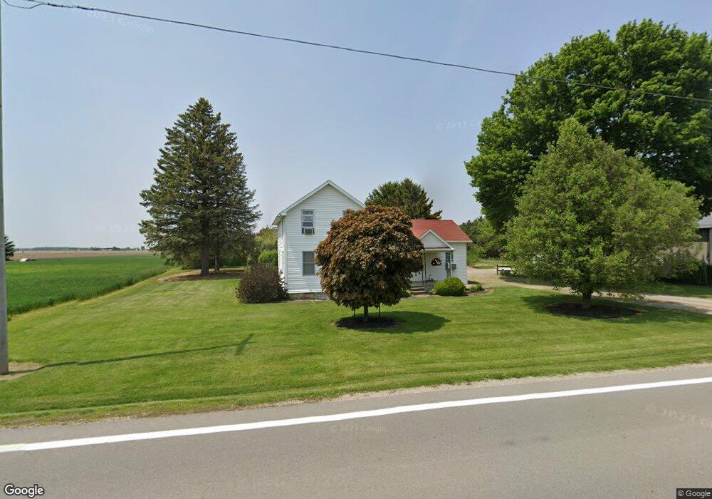
14517 State Route 64 Metamora, OH 43540
Estimated Value: $173,957 - $210,000
3
Beds
1
Bath
1,567
Sq Ft
$125/Sq Ft
Est. Value
About This Home
This home is located at 14517 State Route 64, Metamora, OH 43540 and is currently estimated at $196,239, approximately $125 per square foot. 14517 State Route 64 is a home located in Fulton County with nearby schools including Evergreen Elementary School, Evergreen Middle School, and Evergreen High School.
Ownership History
Date
Name
Owned For
Owner Type
Purchase Details
Closed on
Jun 28, 2010
Sold by
Gross John H and Gross Rhonda L
Bought by
Karg Michael D and Druschel Pamela J
Current Estimated Value
Home Financials for this Owner
Home Financials are based on the most recent Mortgage that was taken out on this home.
Original Mortgage
$108,538
Interest Rate
5.25%
Mortgage Type
FHA
Create a Home Valuation Report for This Property
The Home Valuation Report is an in-depth analysis detailing your home's value as well as a comparison with similar homes in the area
Home Values in the Area
Average Home Value in this Area
Purchase History
| Date | Buyer | Sale Price | Title Company |
|---|---|---|---|
| Karg Michael D | $110,000 | Attorney |
Source: Public Records
Mortgage History
| Date | Status | Borrower | Loan Amount |
|---|---|---|---|
| Closed | Karg Michael D | $108,538 |
Source: Public Records
Tax History Compared to Growth
Tax History
| Year | Tax Paid | Tax Assessment Tax Assessment Total Assessment is a certain percentage of the fair market value that is determined by local assessors to be the total taxable value of land and additions on the property. | Land | Improvement |
|---|---|---|---|---|
| 2024 | $2,222 | $61,460 | $9,870 | $51,590 |
| 2023 | $2,222 | $61,460 | $9,870 | $51,590 |
| 2022 | $2,137 | $47,920 | $8,230 | $39,690 |
| 2021 | $2,093 | $47,920 | $8,230 | $39,690 |
| 2020 | $1,336 | $31,190 | $8,230 | $22,960 |
| 2019 | $1,188 | $28,320 | $7,950 | $20,370 |
| 2018 | $1,121 | $28,320 | $7,950 | $20,370 |
| 2017 | $1,107 | $28,320 | $7,950 | $20,370 |
| 2016 | $1,108 | $26,640 | $7,950 | $18,690 |
| 2015 | $1,022 | $26,640 | $7,950 | $18,690 |
| 2014 | $1,029 | $26,640 | $7,950 | $18,690 |
| 2013 | $1,187 | $28,840 | $8,540 | $20,300 |
Source: Public Records
Map
Nearby Homes
- 2674 US Highway 20
- 13490 State Route 64
- 5120 US Highway 20
- 1400 N Fulton Lucas Rd
- 1102 N Fulton Lucas Rd
- 13001 Central Ave
- 2716 County Road L
- 3893 County Road L
- 5905 Ohio St
- 13614 Hodges Hwy
- 13560 Old State Line Rd
- 11883 Sylvania-Metamora Rd
- 0 Waterwood Dr
- 11835 Angola Rd
- 13645 Shaffer Rd
- 215 Hickory St
- 204 Hickory St
- 7 359 County Road Rd W
- 105 Elm St
- 10637 Old State Line Rd
- 14517 St Hwy 64
- 14509 State Route 64
- 14480 State Route 64
- 14455 Ohio 64
- 14596 State Route 64
- 14455 State Route 64
- 14450 State Route 64
- 14425 State Route 64
- 14842 State Route 64
- 14890 State Route 64
- 14920 State Route 64
- 14300 Box Ln
- 2148 Simon Ave
- 2126 Simon Ave
- 2104 Simon Ave
- 2096 Simon Ave
- 2084 Simon Ave
- 2062 Simon Ave
- 2697 County Road S
- 14101 State Route 64