1452 Burney Rd Asheboro, NC 27205
Estimated Value: $301,000 - $487,977
--
Bed
2
Baths
1,728
Sq Ft
$229/Sq Ft
Est. Value
About This Home
This home is located at 1452 Burney Rd, Asheboro, NC 27205 and is currently estimated at $395,994, approximately $229 per square foot. 1452 Burney Rd is a home located in Randolph County with nearby schools including Sycamore Elementary School, Seagrove Elementary School, and Southwestern Randolph Middle School.
Ownership History
Date
Name
Owned For
Owner Type
Purchase Details
Closed on
Sep 13, 2013
Sold by
Watkins Cole Max Curtis and Watkins Cole Dawn
Bought by
Watkins Cole Max Curtis and Watkins Cole Dawn
Current Estimated Value
Home Financials for this Owner
Home Financials are based on the most recent Mortgage that was taken out on this home.
Original Mortgage
$17,174
Interest Rate
4.57%
Mortgage Type
Purchase Money Mortgage
Create a Home Valuation Report for This Property
The Home Valuation Report is an in-depth analysis detailing your home's value as well as a comparison with similar homes in the area
Home Values in the Area
Average Home Value in this Area
Purchase History
| Date | Buyer | Sale Price | Title Company |
|---|---|---|---|
| Watkins Cole Max Curtis | -- | None Available |
Source: Public Records
Mortgage History
| Date | Status | Borrower | Loan Amount |
|---|---|---|---|
| Closed | Watkins Cole Max Curtis | $17,174 |
Source: Public Records
Tax History Compared to Growth
Tax History
| Year | Tax Paid | Tax Assessment Tax Assessment Total Assessment is a certain percentage of the fair market value that is determined by local assessors to be the total taxable value of land and additions on the property. | Land | Improvement |
|---|---|---|---|---|
| 2025 | $2,437 | $392,270 | $116,570 | $275,700 |
| 2024 | $2,437 | $392,270 | $116,570 | $275,700 |
| 2023 | $2,437 | $392,270 | $116,570 | $275,700 |
| 2022 | $2,182 | $289,270 | $92,910 | $196,360 |
| 2021 | $2,071 | $275,090 | $92,910 | $182,180 |
| 2020 | $2,026 | $269,180 | $92,910 | $176,270 |
| 2019 | $2,026 | $269,180 | $92,910 | $176,270 |
| 2018 | $1,970 | $261,750 | $91,070 | $170,680 |
| 2016 | $1,970 | $261,754 | $91,070 | $170,684 |
| 2015 | $1,976 | $261,754 | $91,070 | $170,684 |
| 2014 | $1,976 | $261,754 | $91,070 | $170,684 |
Source: Public Records
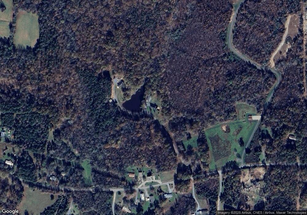
Map
Nearby Homes
- 4240 Nc Highway 134
- 2484 Burney Rd
- 116 Bullins Ln
- 1282 Little River Rd
- 197 Copples Rd
- 4026 Oak Tree Rd
- 206 W Edgewood Cir
- 214 Vancroft St
- 5979 US Highway 220 S
- 0000 Boone Farm Rd
- 5329 Seagrove Plank Rd
- 4149 Happy Hollow Rd
- 354 Yow Dr
- 167 Drum St
- 5364 Pisgah Covered Bridge Rd
- 6342 Maple Springs Rd
- 0 Lisbon Rd
- 3162 Montclair Ct
- 5500 Pisgah Covered Bridge Rd
- 6015 Zoo Pkwy
- 1466 Burney Rd
- 1502 Burney Rd
- 1508 Burney Rd
- 1522 Burney Rd
- 1612 Burney Rd
- 1485 Burney Rd
- 1509 Burney Rd
- 1517 Burney Rd
- 1447 Burney Rd
- 1378 Burney Rd
- 1608 Burney Rd
- 0 Burney Rd Unit 845281
- 0 Burney Rd Unit No Access TR2312786
- 0 Burney Rd Unit 1038863
- 0 Burney Rd Unit 811880
- 0 Burney Rd Unit 959713
- 0 Burney Rd Unit No Access 2312786
- 1397 Burney Rd
- Tract 3 Burney Rd
- 1581 Burney Rd