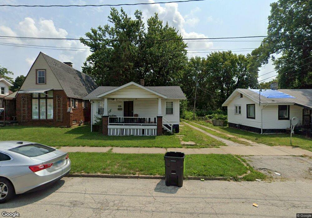
1452 N Maple Ave Decatur, IL 62526
Neighborhood Empowerment NeighborhoodEstimated Value: $34,000 - $54,000
Studio
--
Bath
684
Sq Ft
$61/Sq Ft
Est. Value
About This Home
This home is located at 1452 N Maple Ave, Decatur, IL 62526 and is currently estimated at $41,613, approximately $60 per square foot. 1452 N Maple Ave is a home located in Macon County with nearby schools including Stephen Decatur Middle School, St. Patrick School, and Teen Challenge-Home For Girls.
Ownership History
Date
Name
Owned For
Owner Type
Purchase Details
Closed on
Feb 21, 2020
Sold by
Hendrian Andrew R
Bought by
Coats Julius and Miller Coats Andrall
Current Estimated Value
Purchase Details
Closed on
Jan 2, 2018
Sold by
Beasley Edward E
Bought by
Hendrian Andrew R
Home Financials for this Owner
Home Financials are based on the most recent Mortgage that was taken out on this home.
Original Mortgage
$243,748
Interest Rate
3.95%
Mortgage Type
Reverse Mortgage Home Equity Conversion Mortgage
Purchase Details
Closed on
Jun 1, 1997
Create a Home Valuation Report for This Property
The Home Valuation Report is an in-depth analysis detailing your home's value as well as a comparison with similar homes in the area
Home Values in the Area
Average Home Value in this Area
Purchase History
| Date | Buyer | Sale Price | Title Company |
|---|---|---|---|
| Coats Julius | $29,000 | None Available | |
| Hendrian Andrew R | -- | -- | |
| -- | $17,000 | -- |
Source: Public Records
Mortgage History
| Date | Status | Borrower | Loan Amount |
|---|---|---|---|
| Previous Owner | Hendrian Andrew R | $243,748 |
Source: Public Records
Tax History
| Year | Tax Paid | Tax Assessment Tax Assessment Total Assessment is a certain percentage of the fair market value that is determined by local assessors to be the total taxable value of land and additions on the property. | Land | Improvement |
|---|---|---|---|---|
| 2024 | $739 | $7,632 | $442 | $7,190 |
| 2023 | $733 | $7,361 | $426 | $6,935 |
| 2022 | $690 | $6,747 | $394 | $6,353 |
| 2021 | $648 | $6,301 | $368 | $5,933 |
| 2020 | $639 | $6,007 | $350 | $5,657 |
| 2019 | $639 | $6,007 | $350 | $5,657 |
| 2018 | $683 | $6,504 | $197 | $6,307 |
| 2017 | $699 | $6,677 | $202 | $6,475 |
| 2016 | $713 | $6,745 | $204 | $6,541 |
| 2015 | $752 | $7,354 | $135 | $7,219 |
| 2014 | $698 | $7,282 | $134 | $7,148 |
| 2013 | $721 | $7,555 | $139 | $7,416 |
Source: Public Records
Map
Nearby Homes
- 1653 N Maple Ave
- 1659 N Maple Ave
- 1329 N Walnut Grove Ave
- 1429 N Walnut Grove Ave
- 1124 W Cushing St
- 1521 N Union St
- 1034 N Oakland Ave
- 254 W Leafland Ave
- 1595 N Church St
- 977 N Oakland Ave
- 1914 N Union St
- 777 W Harper Ave
- 2005 N Union St
- 960 W Green St
- 1568 N Main St
- 1213 W Marietta St
- 216 W Garfield Ave
- 2051 N Church St
- 1097 W Green St
- 1590 N Water St
- 1440 N Maple Ave
- 1460 N Maple Ave
- 1451 N Maple Ave
- 1423 N Maple Ave
- 765 W Center St
- 789 W Center St
- 1455 N Maple Ave
- 755 W Center St
- 794 W Waggoner St
- 786 W Waggoner St
- 776 W Waggoner St
- 1463 N Maple Ave
- 735 W Center St
- 802 W Waggoner St
- 766 W Waggoner St
- 812 W Waggoner St
- 725 W Center St
- 820 W Waggoner St
- 750 W Waggoner St
- 828 W Waggoner St
Your Personal Tour Guide
Ask me questions while you tour the home.