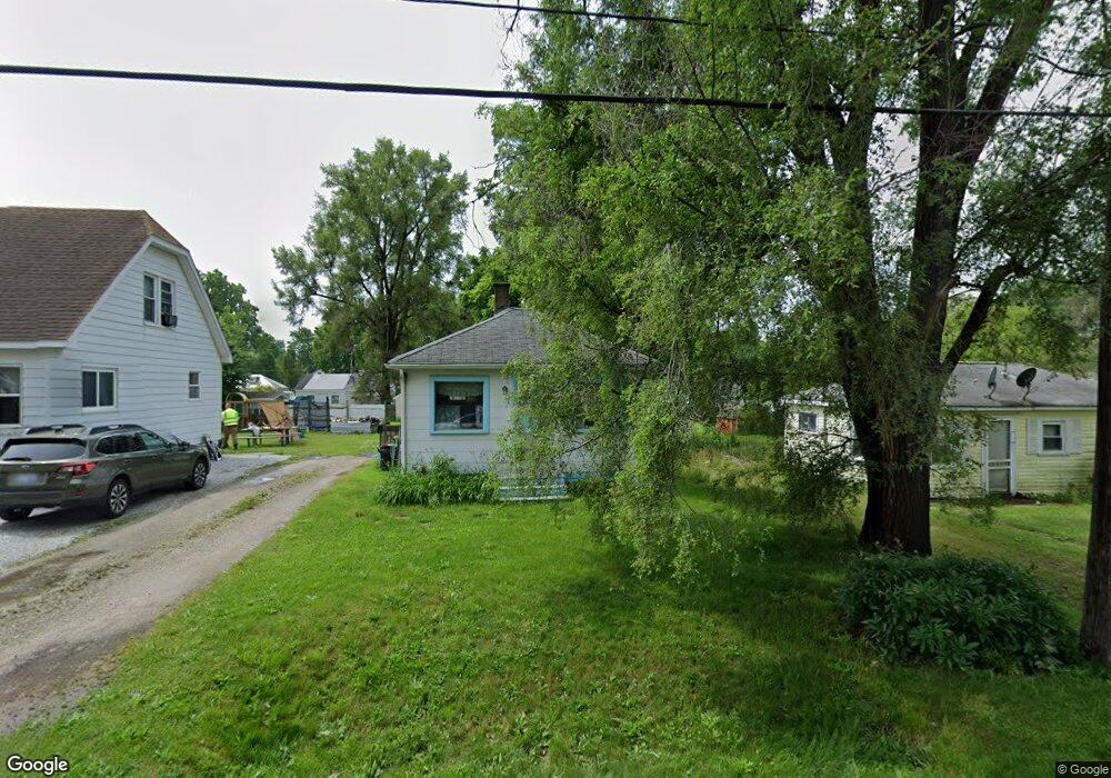
1452 Norton St Unit Bldg-Unit Burton, MI 48529
South Side NeighborhoodEstimated Value: $42,000 - $73,000
--
Bed
1
Bath
414
Sq Ft
$140/Sq Ft
Est. Value
About This Home
This home is located at 1452 Norton St Unit Bldg-Unit, Burton, MI 48529 and is currently estimated at $57,999, approximately $140 per square foot. 1452 Norton St Unit Bldg-Unit is a home located in Genesee County with nearby schools including South Bendle Elementary School, West Bendle Elementary School, and Bendle Middle School.
Ownership History
Date
Name
Owned For
Owner Type
Purchase Details
Closed on
Apr 19, 2010
Sold by
Pitock Donna J
Bought by
Pitock Michael J
Current Estimated Value
Purchase Details
Closed on
Nov 7, 2008
Sold by
Dort Federal Credit Union
Bought by
Pitock Donna J
Purchase Details
Closed on
Apr 18, 2008
Sold by
Pitock Michael Joseph
Bought by
Dort Fcu
Purchase Details
Closed on
Mar 30, 2001
Sold by
Murray David J and Murray Leanne R
Bought by
Pitock Michael Joseph
Create a Home Valuation Report for This Property
The Home Valuation Report is an in-depth analysis detailing your home's value as well as a comparison with similar homes in the area
Home Values in the Area
Average Home Value in this Area
Purchase History
| Date | Buyer | Sale Price | Title Company |
|---|---|---|---|
| Pitock Michael J | -- | None Available | |
| Pitock Donna J | $7,500 | None Available | |
| Dort Fcu | $14,379 | None Available | |
| Pitock Michael Joseph | $14,324 | Stewart Title Guaranty Compa |
Source: Public Records
Tax History Compared to Growth
Tax History
| Year | Tax Paid | Tax Assessment Tax Assessment Total Assessment is a certain percentage of the fair market value that is determined by local assessors to be the total taxable value of land and additions on the property. | Land | Improvement |
|---|---|---|---|---|
| 2025 | $565 | $20,200 | $0 | $0 |
| 2024 | $443 | $15,700 | $0 | $0 |
| 2023 | $433 | $15,300 | $0 | $0 |
| 2022 | $201 | $10,900 | $0 | $0 |
| 2021 | $99 | $11,900 | $0 | $0 |
| 2020 | $446 | $11,500 | $0 | $0 |
| 2019 | $376 | $8,000 | $0 | $0 |
| 2018 | $453 | $7,600 | $0 | $0 |
| 2017 | $441 | $7,600 | $0 | $0 |
| 2016 | $431 | $7,500 | $0 | $0 |
| 2015 | $432 | $0 | $0 | $0 |
| 2012 | -- | $6,000 | $6,000 | $0 |
Source: Public Records
Map
Nearby Homes
- 1453 Carman St
- 1393 Carman St
- 1325 Norton St
- 1457 E Bristol Rd
- 0 Allen St Unit 50168596
- 1324 Allen St
- 1230 E Decamp St
- 1219 Norton St
- 2077 E Boatfield Ave
- 1183 Norton St
- 1186 E Decamp St
- 2130 E Whittemore Ave
- V/L E Scottwood Ave
- 1151 Wells St
- 3512 Barcey Ct
- 4010 Milton Dr
- 4205 Red Arrow Rd
- 652 Huron St
- 2120 E Parkwood Ave
- 1484 E Mclean Ave