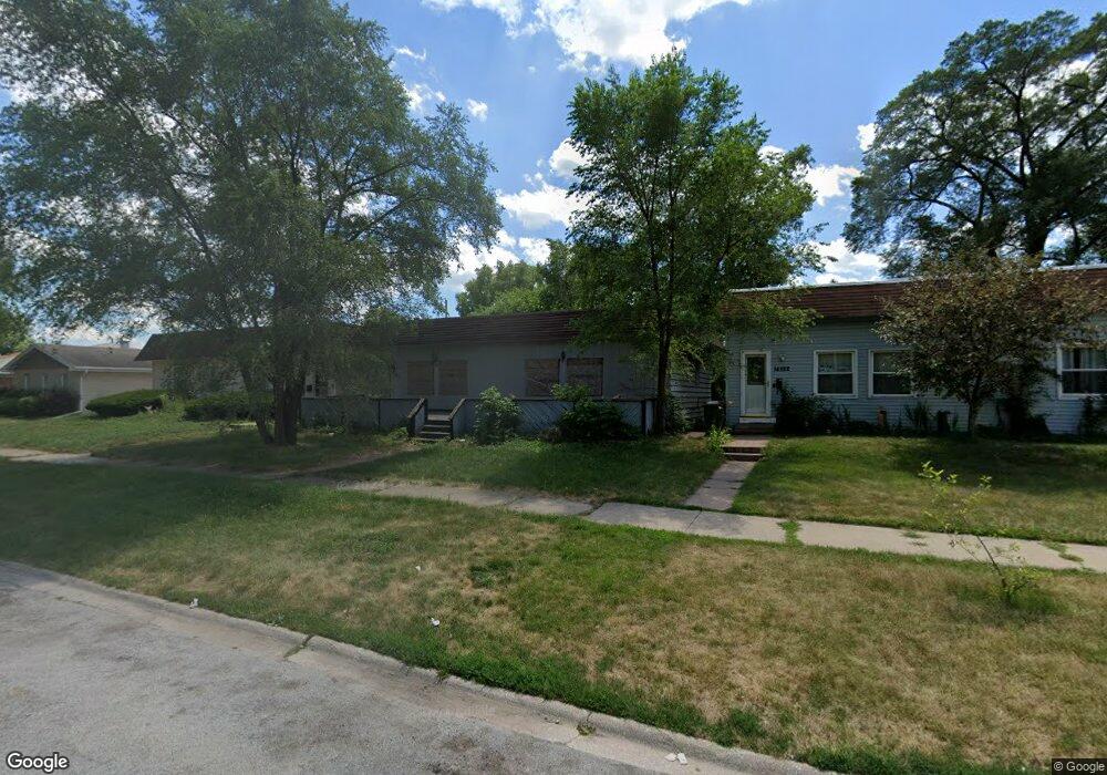
14526 Shepard Dr Dolton, IL 60419
Estimated Value: $140,774 - $171,000
3
Beds
2
Baths
1,144
Sq Ft
$132/Sq Ft
Est. Value
About This Home
This home is located at 14526 Shepard Dr, Dolton, IL 60419 and is currently estimated at $150,444, approximately $131 per square foot. 14526 Shepard Dr is a home located in Cook County with nearby schools including Berger-Vandenberg Elementary School, Creative Communications Academy, and School Of Fine Arts Academy.
Ownership History
Date
Name
Owned For
Owner Type
Purchase Details
Closed on
Apr 20, 2022
Sold by
Yarbrough Karen A
Bought by
County Of Cook
Current Estimated Value
Purchase Details
Closed on
Mar 16, 2004
Sold by
Citifinancial Mortgage Co Inc
Bought by
Bishop Anson
Purchase Details
Closed on
Nov 20, 2003
Sold by
Garcia Nereida
Bought by
Citifinancial Mortgage Co Inc
Create a Home Valuation Report for This Property
The Home Valuation Report is an in-depth analysis detailing your home's value as well as a comparison with similar homes in the area
Home Values in the Area
Average Home Value in this Area
Purchase History
| Date | Buyer | Sale Price | Title Company |
|---|---|---|---|
| County Of Cook | -- | None Listed On Document | |
| Bishop Anson | $56,000 | First American Title Ins | |
| Citifinancial Mortgage Co Inc | -- | -- |
Source: Public Records
Tax History
| Year | Tax Paid | Tax Assessment Tax Assessment Total Assessment is a certain percentage of the fair market value that is determined by local assessors to be the total taxable value of land and additions on the property. | Land | Improvement |
|---|---|---|---|---|
| 2025 | $5,641 | -- | -- | -- |
| 2024 | $5,641 | $10,000 | $2,486 | $7,514 |
| 2023 | $6,163 | $10,000 | $2,486 | $7,514 |
| 2022 | $6,163 | $8,514 | $2,194 | $6,320 |
| 2021 | $5,863 | $8,513 | $2,193 | $6,320 |
| 2020 | $5,477 | $8,513 | $2,193 | $6,320 |
| 2019 | $6,543 | $8,972 | $2,047 | $6,925 |
| 2018 | $6,515 | $8,972 | $2,047 | $6,925 |
| 2017 | $6,164 | $8,972 | $2,047 | $6,925 |
| 2016 | $4,460 | $6,996 | $1,901 | $5,095 |
| 2015 | $4,308 | $6,996 | $1,901 | $5,095 |
| 2014 | $4,254 | $6,996 | $1,901 | $5,095 |
| 2013 | $4,981 | $8,733 | $1,901 | $6,832 |
Source: Public Records
Map
Nearby Homes
- 14418 Drexel Ave
- 14631 Lincoln Ave
- 14525 Dobson Ave
- 14526 Cottage Grove Ave
- 14341 Drexel Ave
- 1107 E 145th St
- 14325 Ingleside Ave
- 14500 Van Buren St
- 14647 Greenwood Rd Unit B403
- 14408 Lincoln Ave
- 14315 Dobson Ave
- 14314 Minerva Ave
- 14519 Sanderson Ave
- 14234 Ingleside Ave
- 14341 University Ave
- 14708 Shepard Dr
- 14635 Woodlawn Ave
- 14720 Shepard Dr
- 14405 Woodlawn Ave
- 14234 Minerva Ave
- 14522 Shepard Dr
- 14528 Shepard Dr
- 14518 Shepard Dr
- 14534 Shepard Dr
- 14527 Lincoln Ave
- 14523 Lincoln Ave
- 14529 Lincoln Ave
- 14538 Shepard Dr
- 14514 Shepard Dr
- 14521 Lincoln Ave
- 14533 Lincoln Ave
- 14517 Lincoln Ave
- 14540 Shepard Dr
- 14515 Ingleside Ave
- 14537 Lincoln Ave
- 14510 Shepard Dr
- 14513 Lincoln Ave
- 14539 Shepard Dr
- 14511 Lincoln Ave
Your Personal Tour Guide
Ask me questions while you tour the home.