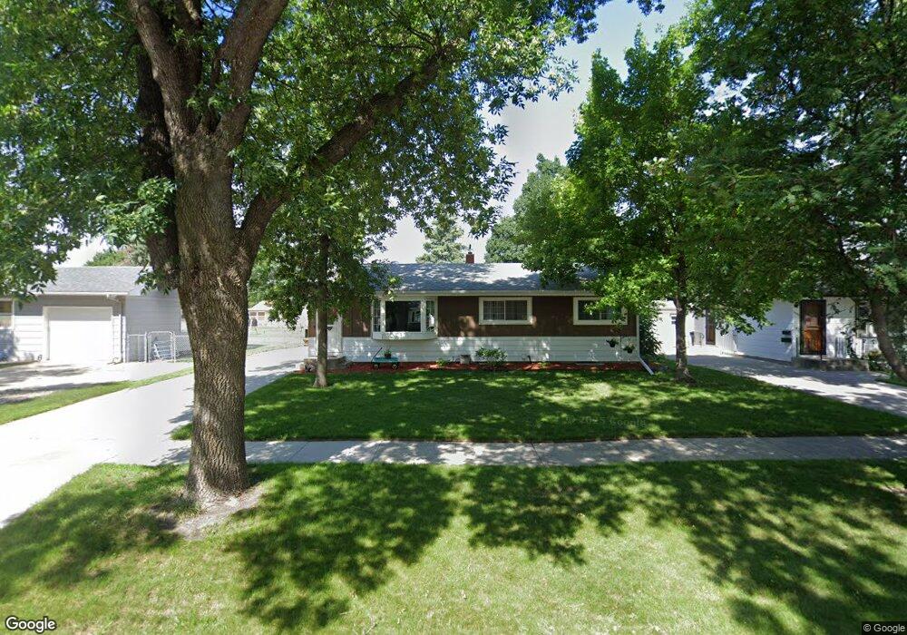
1453 20th St S Fargo, ND 58103
South High NeighborhoodEstimated Value: $280,000 - $293,218
About This Home
This home is located at 1453 20th St S, Fargo, ND 58103 and is currently estimated at $289,305, approximately $141 per square foot. 1453 20th St S is a home located in Cass County with nearby schools including Lewis & Clark Elementary School, Carl Ben Eielson Middle School, and South High School.
Ownership History
We collect this data history from publicly available records. To have your information removed, we recommend requesting removal directly through your county’s website.
Purchase Details
Home Financials for this Owner
Home Financials are based on the most recent Mortgage that was taken out on this home.Purchase Details
Home Financials for this Owner
Home Financials are based on the most recent Mortgage that was taken out on this home.Home Values in the Area
Average Home Value in this Area
Purchase History
We collect this data history from publicly available records. To have your information removed, we recommend requesting removal directly through your county’s website.
| Date | Buyer | Sale Price | Title Company |
|---|---|---|---|
| $200,000 | None Available | ||
| -- | -- |
Mortgage History
We collect this data history from publicly available records. To have your information removed, we recommend requesting removal directly through your county’s website.
| Date | Status | Borrower | Loan Amount |
|---|---|---|---|
| Open | $170,000 | ||
| Previous Owner | $146,840 |
Tax History
We collect this data history from publicly available records. To have your information removed, we recommend requesting removal directly through your county’s website.
| Year | Tax Paid | Tax Assessment Tax Assessment Total Assessment is a certain percentage of the fair market value that is determined by local assessors to be the total taxable value of land and additions on the property. | Land | Improvement |
|---|---|---|---|---|
| 2025 | $2,472 | $144,250 | $25,750 | $118,500 |
| 2024 | $3,349 | $136,100 | $25,750 | $110,350 |
| 2023 | $3,625 | $128,400 | $25,750 | $102,650 |
| 2022 | $3,453 | $120,000 | $25,750 | $94,250 |
| 2021 | $2,843 | $99,300 | $27,100 | $72,200 |
| 2020 | $2,590 | $90,250 | $27,100 | $63,150 |
| 2019 | $2,241 | $85,150 | $15,050 | $70,100 |
| 2018 | $2,212 | $85,150 | $15,050 | $70,100 |
| 2017 | $2,124 | $82,650 | $15,050 | $67,600 |
| 2016 | $1,920 | $80,250 | $15,050 | $65,200 |
| 2015 | $1,806 | $70,700 | $11,300 | $59,400 |
| 2014 | $1,716 | $65,450 | $11,300 | $54,150 |
| 2013 | $1,717 | $65,450 | $11,300 | $54,150 |
Map
- 1413 21st St S
- 1420 23rd St S
- 1401 19th St S
- 1840 15th Ave S
- 1306 18th St S
- 2401 Demores Dr S Unit 12
- 2402 N Flickertail Dr S Unit 1
- 1510 16 1 2 St S
- 2401 S Flickertail Dr S Unit S
- 1305 16 1 2 St S
- 1405 16th St S
- 1533 16th St S
- 1101 22nd St S Unit 6
- 1501 16th Ave S
- 1437 E Gateway Cir S
- 1005 20th St S
- 1622 11th Ave S
- 1102 23rd St S Unit D10
- 1510 15th St S
- 1757 23rd St S
- 1449 20th St S
- 1457 20th St S
- 1445 20th St S
- 1454 21st St S
- 2001 15th Ave S
- 1450 21st St S
- 1458 21st St S
- 1446 21st St S
- 1441 20th St S
- 2005 15th Ave S
- 1454 20th St S
- 1458 20th St S
- 1450 20th St S
- 1442 21st St S
- 1446 20th St S
- 1905 15th Ave S
- 1437 20th St S
- 1442 20th St S
- 1438 21st St S
- 1433 20th St S
Ask me questions while you tour the home.