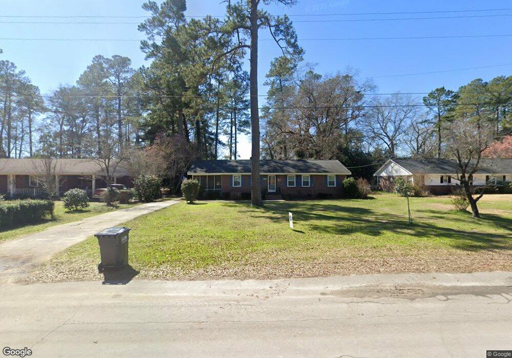
1453 Brant Ave Holly Hill, SC 29059
Estimated Value: $174,000 - $233,000
3
Beds
2
Baths
1,466
Sq Ft
$140/Sq Ft
Est. Value
About This Home
This home is located at 1453 Brant Ave, Holly Hill, SC 29059 and is currently estimated at $204,784, approximately $139 per square foot. 1453 Brant Ave is a home located in Orangeburg County with nearby schools including Holly Hill Elementary School, Holly Hill Elementary, and Holly Hill-Roberts Middle.
Ownership History
Date
Name
Owned For
Owner Type
Purchase Details
Closed on
Sep 28, 2006
Sold by
Thrailkill H Monty
Bought by
Chubb Billy R and Chubb Sally W
Current Estimated Value
Home Financials for this Owner
Home Financials are based on the most recent Mortgage that was taken out on this home.
Original Mortgage
$65,750
Interest Rate
6.06%
Mortgage Type
New Conventional
Purchase Details
Closed on
May 27, 2004
Sold by
Parler Carolyn Breeland and Wilson Mary Jo Breeland
Bought by
Collins Evelyn G
Create a Home Valuation Report for This Property
The Home Valuation Report is an in-depth analysis detailing your home's value as well as a comparison with similar homes in the area
Home Values in the Area
Average Home Value in this Area
Purchase History
| Date | Buyer | Sale Price | Title Company |
|---|---|---|---|
| Chubb Billy R | $82,200 | None Available | |
| Collins Evelyn G | $68,000 | -- |
Source: Public Records
Mortgage History
| Date | Status | Borrower | Loan Amount |
|---|---|---|---|
| Closed | Chubb Billy R | $65,750 |
Source: Public Records
Tax History Compared to Growth
Tax History
| Year | Tax Paid | Tax Assessment Tax Assessment Total Assessment is a certain percentage of the fair market value that is determined by local assessors to be the total taxable value of land and additions on the property. | Land | Improvement |
|---|---|---|---|---|
| 2024 | $1,224 | $5,603 | $967 | $4,636 |
| 2023 | $1,077 | $4,351 | $763 | $3,588 |
| 2022 | $1,046 | $4,351 | $763 | $3,588 |
| 2021 | $1,046 | $4,351 | $763 | $3,588 |
| 2020 | $1,030 | $6,526 | $0 | $0 |
| 2019 | $1,034 | $6,526 | $0 | $0 |
| 2018 | $951 | $5,458 | $0 | $0 |
| 2017 | $944 | $5,458 | $0 | $0 |
| 2016 | $929 | $5,458 | $0 | $0 |
| 2015 | $903 | $5,458 | $0 | $0 |
| 2014 | $903 | $5,459 | $1,145 | $4,314 |
| 2013 | -- | $3,711 | $763 | $2,948 |
Source: Public Records
Map
Nearby Homes
- 1301 Bennett Cir
- 0 Lindstedt Ln
- 264 Walters Rd
- 1000 Holly St
- 1691 Bennett Cir
- 0 Bunch Ford Rd Unit 25021235
- 0 Peake St
- 208 Bunch Ford Rd
- 220 Brooks Dr
- 310 Bunch Ford Rd
- BRANDON Plan at Evergreen
- CALI Plan at Evergreen
- HELENA Plan at Evergreen
- DOWNING Plan at Evergreen
- SULLIVAN Plan at Evergreen
- 01 Camden Rd Unit Sc 310
- 130 Culbertson Ct
- 114 Culbertson Ct
- 414 Brooks Dr
- 128 Culbertson Ct
- 1443 Brant Ave
- 1433 Brant Ave
- 1465 Brant Ave
- 1450 Brant Ave
- 1452 Jasmine Ln
- 1430 Brant Ave
- 1423 Brant Ave
- 1472 Jasmine Ln
- 1455 Jasmine Ln
- 1447 Bennett Cir
- 1471 Bennett Cir
- 1435 Bennett Cir
- 1422 Brant Ave
- 1401 Brant Ave
- 1030 Mccoy St
- 1433 Bennett Cir
- 1402 Brant Ave
- 1423 Bennett Cir
- 1010 Mccoy St
- 1415 Bennett Cir