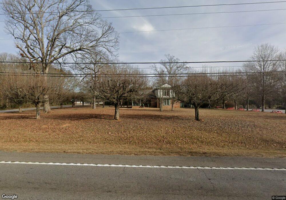
1453 Highway 11 NW Monroe, GA 30656
Estimated Value: $326,000 - $578,000
--
Bed
--
Bath
2,199
Sq Ft
$188/Sq Ft
Est. Value
About This Home
This home is located at 1453 Highway 11 NW, Monroe, GA 30656 and is currently estimated at $413,747, approximately $188 per square foot. 1453 Highway 11 NW is a home located in Walton County with nearby schools including Walker Park Elementary School, Carver Middle School, and Monroe Area High School.
Ownership History
Date
Name
Owned For
Owner Type
Purchase Details
Closed on
Nov 7, 2023
Sold by
Shea Claudette Trust
Bought by
Delles Christopher
Current Estimated Value
Home Financials for this Owner
Home Financials are based on the most recent Mortgage that was taken out on this home.
Original Mortgage
$310,000
Outstanding Balance
$128,956
Interest Rate
7.57%
Mortgage Type
New Conventional
Estimated Equity
$284,791
Purchase Details
Closed on
Apr 16, 2020
Sold by
Shea William
Bought by
William Shea And Claudette Shea Liv Trus
Purchase Details
Closed on
May 19, 2003
Sold by
Manufacturers/Trustaders Trust Co
Bought by
Shea Chaudette
Home Financials for this Owner
Home Financials are based on the most recent Mortgage that was taken out on this home.
Original Mortgage
$132,000
Interest Rate
5.68%
Mortgage Type
New Conventional
Purchase Details
Closed on
Sep 20, 1988
Bought by
Garner B F
Create a Home Valuation Report for This Property
The Home Valuation Report is an in-depth analysis detailing your home's value as well as a comparison with similar homes in the area
Home Values in the Area
Average Home Value in this Area
Purchase History
| Date | Buyer | Sale Price | Title Company |
|---|---|---|---|
| Delles Christopher | $335,000 | -- | |
| William Shea And Claudette Shea Liv Trus | -- | -- | |
| Shea Chaudette | $130,000 | -- | |
| Garner B F | -- | -- |
Source: Public Records
Mortgage History
| Date | Status | Borrower | Loan Amount |
|---|---|---|---|
| Open | Delles Christopher | $310,000 | |
| Previous Owner | Shea Chaudette | $132,000 |
Source: Public Records
Tax History Compared to Growth
Tax History
| Year | Tax Paid | Tax Assessment Tax Assessment Total Assessment is a certain percentage of the fair market value that is determined by local assessors to be the total taxable value of land and additions on the property. | Land | Improvement |
|---|---|---|---|---|
| 2024 | $3,592 | $121,860 | $43,560 | $78,300 |
| 2023 | $2,889 | $95,260 | $43,560 | $51,700 |
| 2022 | $2,918 | $92,300 | $43,560 | $48,740 |
| 2021 | $2,834 | $86,980 | $43,560 | $43,420 |
| 2020 | $2,863 | $85,700 | $43,560 | $42,140 |
| 2019 | $2,788 | $84,540 | $43,560 | $40,980 |
| 2018 | $2,827 | $84,540 | $43,560 | $40,980 |
| 2017 | $2,913 | $84,540 | $43,560 | $40,980 |
| 2016 | $2,704 | $79,632 | $43,560 | $36,072 |
| 2015 | $2,748 | $79,632 | $43,560 | $36,072 |
| 2014 | $2,885 | $81,548 | $43,560 | $37,988 |
Source: Public Records
Map
Nearby Homes
- 1409 Hwy 11 N
- 1482 Waverly Way
- 243 Doster Ave NW
- 1384 Brookhaven Dr NW
- 201 Double Springs Church Rd SW Unit CLC/15/E1.827
- 1530 Highland Creek Dr
- 2103 Sourwood Ct
- 1621 Highland Creek Dr
- 2328 Persimmon Chase
- 1702 Highland Creek Dr
- 401 Double Springs Church Rd Unit CLC/15/W9.540
- Jefferson Basement Plan at River Pointe
- Johnson Basement Plan at River Pointe
- Johnson Plan at River Pointe
- Taylorsville Basement Plan at River Pointe
- Sherwood Basement Plan at River Pointe
- Jefferson Plan at River Pointe
- Chatham Plan at River Pointe
- 179 Doster Ave NW
- 1442 Waverly Way
- 0 Westmoreland Dr NW Unit 8825987
- 0 Westmoreland Dr NW Unit 7576963
- 0 Westmoreland Dr NW Unit 8896823
- 0 Westmoreland Dr NW
- 1432 Waverly Way
- 180 Doster Ave NW
- 0 Highway 11 N Unit 8873894
- 0 Highway 11 N Unit 7327040
- 0 Highway 11 N Unit 8443620
- 1409 State Highway 11
- 1409 State Highway 11 Unit 1409
- 1422 Waverly Way
- 1404 Highway 11 NW
- 110 Westmoreland Dr NW
- 1408 Georgia 11
- 1408 Highway 11 NW
- 1472 Waverly Way
- 0 Waverly Way Unit 983417