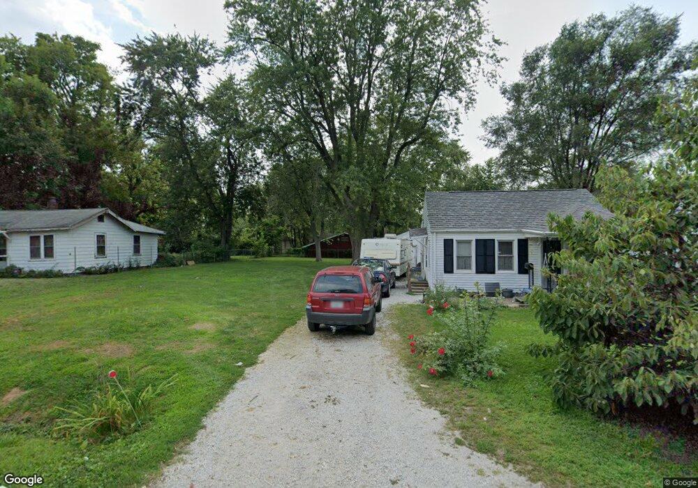
1453 N University Ave Decatur, IL 62526
Ravina Park NeighborhoodEstimated Value: $49,000 - $65,000
--
Bed
--
Bath
806
Sq Ft
$68/Sq Ft
Est. Value
About This Home
This home is located at 1453 N University Ave, Decatur, IL 62526 and is currently estimated at $55,026, approximately $68 per square foot. 1453 N University Ave is a home located in Macon County with nearby schools including Stephen Decatur Middle School and Northwest Christian Campus.
Ownership History
Date
Name
Owned For
Owner Type
Purchase Details
Closed on
May 22, 2008
Sold by
Martin Kristopher C
Bought by
Robbins Karen L
Current Estimated Value
Purchase Details
Closed on
Nov 10, 2006
Sold by
Stephenson Larry D and Stephenson Michael R
Bought by
Martin Kristofer C
Home Financials for this Owner
Home Financials are based on the most recent Mortgage that was taken out on this home.
Original Mortgage
$37,085
Interest Rate
6.41%
Mortgage Type
FHA
Create a Home Valuation Report for This Property
The Home Valuation Report is an in-depth analysis detailing your home's value as well as a comparison with similar homes in the area
Home Values in the Area
Average Home Value in this Area
Purchase History
| Date | Buyer | Sale Price | Title Company |
|---|---|---|---|
| Robbins Karen L | $5,000 | None Available | |
| Martin Kristofer C | -- | None Available |
Source: Public Records
Mortgage History
| Date | Status | Borrower | Loan Amount |
|---|---|---|---|
| Previous Owner | Martin Kristofer C | $37,085 | |
| Closed | Robbins Karen L | $0 |
Source: Public Records
Tax History Compared to Growth
Tax History
| Year | Tax Paid | Tax Assessment Tax Assessment Total Assessment is a certain percentage of the fair market value that is determined by local assessors to be the total taxable value of land and additions on the property. | Land | Improvement |
|---|---|---|---|---|
| 2024 | $178 | $15,466 | $1,777 | $13,689 |
| 2023 | $183 | $14,918 | $1,714 | $13,204 |
| 2022 | $188 | $13,751 | $1,888 | $11,863 |
| 2021 | $704 | $12,841 | $1,763 | $11,078 |
| 2020 | $664 | $12,244 | $1,681 | $10,563 |
| 2019 | $664 | $12,244 | $1,681 | $10,563 |
| 2018 | $702 | $12,680 | $1,754 | $10,926 |
| 2017 | $735 | $13,019 | $1,801 | $11,218 |
| 2016 | $756 | $13,151 | $1,819 | $11,332 |
| 2015 | $707 | $12,919 | $1,787 | $11,132 |
| 2014 | $651 | $12,791 | $1,769 | $11,022 |
| 2013 | $694 | $13,271 | $1,835 | $11,436 |
Source: Public Records
Map
Nearby Homes
- 1319 W Waggoner St
- 1535 N Mcclellan Ave
- 1530 W Cushing St
- 933 W Division St
- 1645 W Center St
- 1675 W Center St
- 1625 W Garfield Ave
- 1415 N Dennis Ave
- 1653 N Maple Ave
- 1706 W Division St
- 837 W Grand Ave
- 917 N Wilder Ave
- 1451 W Marietta St
- 644 W Division St
- 1545 N Monroe St
- 1524 N Summit Ave
- 1504 N Monroe St
- 1915 N Monroe St
- 1065 W Green St
- 2273 N Fairview Ave
- 1449 N University Ave
- 1216 W Cushing St
- 1200 W Cushing St
- 1462 N Wilson Ave
- 1437 N University Ave
- 1440 N Wilson Ave
- 1427 N University Ave
- 1175 W Cushing St
- 1525 N University Ave
- 1438 N Wilson Ave
- 1438 N University Ave
- 1504 N Wilson Ave
- 1520 N Wilson Ave
- 1535 N University Ave
- 1415 N University Ave
- 1540 N Wilson Ave
- 1560 N University Ave
- 1560 N Wilson Ave
- 1422 N Wilson Ave
- 1401 N University Ave