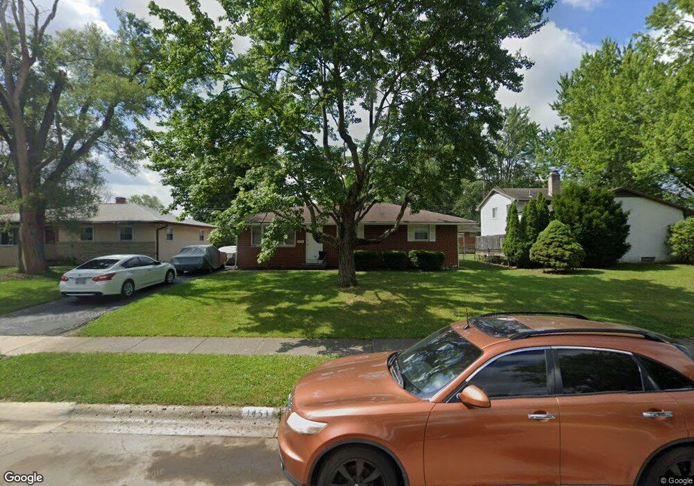
1453 Pershing Dr Columbus, OH 43224
Clinton Estates NeighborhoodEstimated Value: $228,000 - $282,000
3
Beds
2
Baths
1,075
Sq Ft
$230/Sq Ft
Est. Value
About This Home
This home is located at 1453 Pershing Dr, Columbus, OH 43224 and is currently estimated at $247,494, approximately $230 per square foot. 1453 Pershing Dr is a home located in Franklin County with nearby schools including Maize Road Elementary School, Medina Middle School, and Mifflin High School.
Ownership History
Date
Name
Owned For
Owner Type
Purchase Details
Closed on
Sep 25, 2019
Sold by
Fannie Mae
Bought by
Johnson Re Investments Group Ltd
Current Estimated Value
Purchase Details
Closed on
Apr 6, 2017
Sold by
Johnson James E
Bought by
Federal National Mortgage Association
Purchase Details
Closed on
Feb 28, 2017
Sold by
Johson James E and Quicken Loans Inc
Bought by
Federal National Mortgage Association
Purchase Details
Closed on
Jul 19, 2010
Sold by
Johnson Heidi Y
Bought by
Johnson James E
Purchase Details
Closed on
Mar 8, 2002
Sold by
Johnson James E
Bought by
Johnson James E and Johnson Heidi Y
Home Financials for this Owner
Home Financials are based on the most recent Mortgage that was taken out on this home.
Original Mortgage
$79,000
Interest Rate
6.95%
Mortgage Type
Purchase Money Mortgage
Create a Home Valuation Report for This Property
The Home Valuation Report is an in-depth analysis detailing your home's value as well as a comparison with similar homes in the area
Home Values in the Area
Average Home Value in this Area
Purchase History
| Date | Buyer | Sale Price | Title Company |
|---|---|---|---|
| Johnson Re Investments Group Ltd | -- | Servicelink Llc | |
| Federal National Mortgage Association | -- | None Available | |
| Federal National Mortgage Association | -- | None Available | |
| Johnson James E | -- | Attorney | |
| Johnson James E | -- | -- |
Source: Public Records
Mortgage History
| Date | Status | Borrower | Loan Amount |
|---|---|---|---|
| Previous Owner | Johnson James E | $79,000 |
Source: Public Records
Tax History
| Year | Tax Paid | Tax Assessment Tax Assessment Total Assessment is a certain percentage of the fair market value that is determined by local assessors to be the total taxable value of land and additions on the property. | Land | Improvement |
|---|---|---|---|---|
| 2025 | $3,511 | $76,620 | $19,250 | $57,370 |
| 2024 | $3,511 | $76,620 | $19,250 | $57,370 |
| 2023 | $3,468 | $76,615 | $19,250 | $57,365 |
| 2022 | $2,366 | $44,530 | $7,880 | $36,650 |
| 2021 | $2,371 | $44,530 | $7,880 | $36,650 |
| 2020 | $2,374 | $44,530 | $7,880 | $36,650 |
| 2019 | $2,590 | $35,140 | $6,300 | $28,840 |
| 2018 | $1,906 | $35,140 | $6,300 | $28,840 |
| 2017 | $1,600 | $35,140 | $6,300 | $28,840 |
| 2016 | $1,797 | $35,880 | $6,160 | $29,720 |
| 2015 | $1,631 | $35,880 | $6,160 | $29,720 |
| 2014 | $1,635 | $35,880 | $6,160 | $29,720 |
| 2013 | $863 | $37,765 | $6,475 | $31,290 |
Source: Public Records
Map
Nearby Homes
- 1310 Fowler Dr
- 4800 Bourke Rd
- 4143 Karl Rd Unit 215
- 4143 Karl Rd Unit 314
- 4145 Karl Rd Unit 223
- 4795 Colonel Perry Dr
- 1144 Reed Circle Dr
- 1116 Tulsa Dr
- 1130 Carbone Dr
- 4923 Karl Rd Unit 4925
- 1485 Norma Rd
- 3967 Karl Rd Unit 224
- 4983 Almont Dr
- 5004 Julie Place
- 4857 Tamarack Blvd
- 3941 Karl Rd Unit 326
- 3939 Karl Rd Unit 311
- 1637 Sale Rd
- 1705 Ivyhill Loop S
- 4605 Glenmawr Ave
- 1461 Pershing Dr
- 4504 Densmore Rd
- 4488 Densmore Rd
- 4495 Kenfield Rd
- 4487 Kenfield Rd
- 4480 Densmore Rd
- 1458 Pershing Dr
- 1450 Pershing Dr
- 4505 Densmore Rd
- 1466 Pershing Dr
- 4479 Kenfield Rd
- 1442 Pershing Dr
- 4472 Densmore Rd
- 4519 Kenfield Rd
- 4495 Densmore Rd
- 1434 Pershing Dr
- 4498 Kenfield Rd
- 1419 Pershing Dr
- 4487 Densmore Rd
- 4464 Densmore Rd
Your Personal Tour Guide
Ask me questions while you tour the home.