1453 Rock Creek Rd Toccoa, GA 30577
Estimated Value: $188,231 - $237,000
3
Beds
2
Baths
1,369
Sq Ft
$156/Sq Ft
Est. Value
About This Home
This home is located at 1453 Rock Creek Rd, Toccoa, GA 30577 and is currently estimated at $213,058, approximately $155 per square foot. 1453 Rock Creek Rd is a home located in Stephens County with nearby schools including Stephens County High School.
Ownership History
Date
Name
Owned For
Owner Type
Purchase Details
Closed on
Feb 28, 2022
Sold by
Gilmer Steven G
Bought by
Farmer Lynda Lea and Farmer James Glenn
Current Estimated Value
Home Financials for this Owner
Home Financials are based on the most recent Mortgage that was taken out on this home.
Original Mortgage
$95,439
Outstanding Balance
$89,171
Interest Rate
3.92%
Mortgage Type
FHA
Estimated Equity
$123,887
Purchase Details
Closed on
Oct 1, 1990
Bought by
Gilmer Steven G
Create a Home Valuation Report for This Property
The Home Valuation Report is an in-depth analysis detailing your home's value as well as a comparison with similar homes in the area
Home Values in the Area
Average Home Value in this Area
Purchase History
| Date | Buyer | Sale Price | Title Company |
|---|---|---|---|
| Farmer Lynda Lea | $97,200 | -- | |
| Gilmer Steven G | $44,000 | -- |
Source: Public Records
Mortgage History
| Date | Status | Borrower | Loan Amount |
|---|---|---|---|
| Open | Farmer Lynda Lea | $95,439 |
Source: Public Records
Tax History Compared to Growth
Tax History
| Year | Tax Paid | Tax Assessment Tax Assessment Total Assessment is a certain percentage of the fair market value that is determined by local assessors to be the total taxable value of land and additions on the property. | Land | Improvement |
|---|---|---|---|---|
| 2024 | $1,115 | $38,605 | $3,819 | $34,786 |
| 2023 | $1,009 | $35,903 | $3,819 | $32,084 |
| 2022 | $992 | $33,338 | $3,246 | $30,092 |
| 2021 | $965 | $30,849 | $3,246 | $27,603 |
| 2020 | $956 | $30,262 | $3,246 | $27,016 |
| 2019 | $960 | $30,262 | $3,246 | $27,016 |
| 2018 | $960 | $30,262 | $3,246 | $27,016 |
| 2017 | $975 | $30,262 | $3,246 | $27,016 |
| 2016 | $960 | $30,262 | $3,246 | $27,015 |
| 2015 | $999 | $30,088 | $3,246 | $26,841 |
| 2014 | $1,016 | $30,099 | $3,819 | $26,280 |
| 2013 | -- | $30,099 | $3,819 | $26,280 |
Source: Public Records
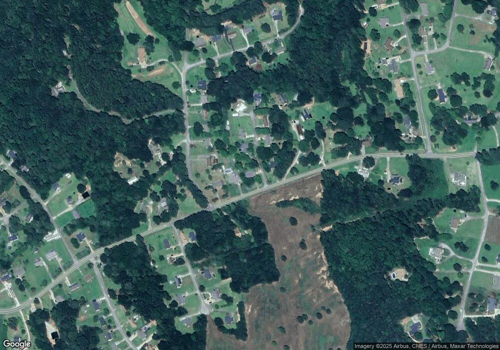
Map
Nearby Homes
- 5.10 ACRES Hwy 123
- 56 Crawford Manor Dr
- 535 Deer Chase
- 54 Stonewood Forest Rd
- 919 Deer Chase Rd
- 672 Crawford Cir
- 3089 Georgia 17 Alternate
- 7 Jottings Dr
- 3013 Hwy 17 A
- 46 Cedar Ridge Dr
- 151 Rock Creek Rd
- 513 S Red Rock Rd
- 668 Brookdale Rd
- 0 Brookhaven Cir Unit 10616964
- 17 Pinetree Rd
- 3048 Oak Valley Rd
- 297 Ayers Creek Dr
- 327 Ayers Creek Dr
- 405 Ayers Creek Dr
- 0 E Currahee St Unit 10544607
- 1431 Rock Creek Rd
- 55 Cedar Ct
- 1479 Rock Creek Rd
- 1403 Rock Creek Rd
- 5040 Rock Creek Rd
- 62 Cedar Ct
- 62 Cedar Ct Unit 1
- 66 Edwards Dr
- 67 Cedar Ct
- 88 Edwards Dr
- 76 Cedar Ct
- 106 Edwards Dr
- 1410 Rock Creek Rd
- 91 Cedar Ct
- 124 Edwards Dr
- 96 Cedar Ct
- 96 Cedar Ct
- 1539 Rock Creek Rd
- 21 Apple Ridge Rd
- 134 Edwards Dr