1453 Taylor Rd Tecumseh, MI 49286
Estimated Value: $398,849 - $444,000
--
Bed
3
Baths
2,299
Sq Ft
$186/Sq Ft
Est. Value
About This Home
This home is located at 1453 Taylor Rd, Tecumseh, MI 49286 and is currently estimated at $427,283, approximately $185 per square foot. 1453 Taylor Rd is a home located in Lenawee County with nearby schools including Patterson Elementary School, Tecumseh Middle School, and Tecumseh High School.
Ownership History
Date
Name
Owned For
Owner Type
Purchase Details
Closed on
Jun 19, 2009
Sold by
Ries Jone E and Ries Julie A
Bought by
Clark Ryan D and Clark Ashley M
Current Estimated Value
Purchase Details
Closed on
Nov 8, 2007
Sold by
Bryja James J and Bryja Kari L
Bought by
Deutsche Bank National Trust Co
Purchase Details
Closed on
Apr 1, 2005
Sold by
Deutsche Bank National Trust Co
Bought by
Clark Ryan and Clark Ashley M
Home Financials for this Owner
Home Financials are based on the most recent Mortgage that was taken out on this home.
Original Mortgage
$125,900
Interest Rate
5.49%
Mortgage Type
Adjustable Rate Mortgage/ARM
Create a Home Valuation Report for This Property
The Home Valuation Report is an in-depth analysis detailing your home's value as well as a comparison with similar homes in the area
Home Values in the Area
Average Home Value in this Area
Purchase History
| Date | Buyer | Sale Price | Title Company |
|---|---|---|---|
| Clark Ryan D | $10,500 | American Title Company Of Le | |
| Deutsche Bank National Trust Co | $285,726 | None Available | |
| Clark Ryan | $139,900 | None Available |
Source: Public Records
Mortgage History
| Date | Status | Borrower | Loan Amount |
|---|---|---|---|
| Previous Owner | Clark Ryan | $125,900 |
Source: Public Records
Tax History Compared to Growth
Tax History
| Year | Tax Paid | Tax Assessment Tax Assessment Total Assessment is a certain percentage of the fair market value that is determined by local assessors to be the total taxable value of land and additions on the property. | Land | Improvement |
|---|---|---|---|---|
| 2025 | $2,964 | $206,300 | $0 | $0 |
| 2024 | $1,932 | $187,100 | $0 | $0 |
| 2022 | $2,780 | $148,800 | $0 | $0 |
| 2021 | $3,070 | $141,500 | $0 | $0 |
| 2020 | $3,046 | $126,200 | $0 | $0 |
| 2019 | $267,420 | $100,100 | $0 | $0 |
| 2018 | $2,921 | $125,543 | $0 | $0 |
| 2017 | $2,816 | $127,599 | $0 | $0 |
| 2016 | $2,787 | $126,564 | $0 | $0 |
| 2014 | -- | $121,163 | $0 | $0 |
Source: Public Records
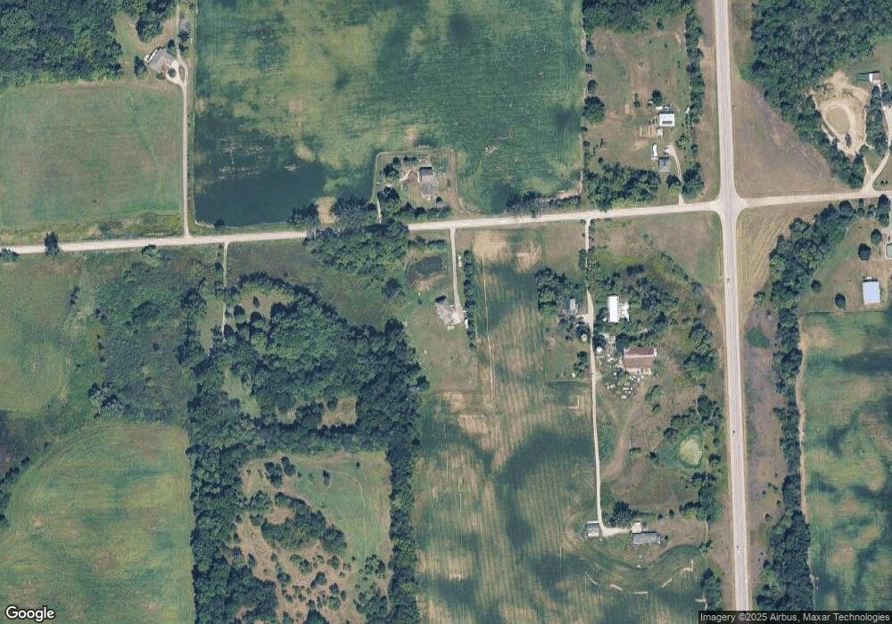
Map
Nearby Homes
- 1351 Taylor Rd
- 11481 N Adrian Hwy
- 11800 N Adrian Hwy
- 9000 Matthews Hwy
- 12460 Wisner Hwy
- 1251 E Monroe Rd
- 10454 Tipton Hwy
- 2962 U S 12
- 9200 Walnut Dr
- 317 Clark St Unit B
- 9402 Pleasant Dr
- 2905 E Munger Rd
- 112 Gibson St
- 0 BLK Pleasant Dr
- 132 W Church St
- 103 W Michigan Ave
- 310 Colebrook Dr
- 118 Litchfield St
- 2003 E M-50 Hwy
- 111 Washington St
- 1450 Taylor Rd
- 1349 Taylor Rd
- 1320 Taylor Rd
- 1600 Taylor Rd
- 11000 N Adrian Hwy Unit BLK
- 1571 Taylor Rd
- 1201 Taylor Rd
- 1200 Taylor Rd
- 1166 Taylor Rd
- 1820 Taylor Rd
- 1825 Taylor Rd
- 10940 N Adrian Hwy
- 11087 N Adrian Hwy
- 11150 N Adrian Hwy
- 10655 N Adrian Hwy
- 1200 Taylor Rd
- 11270 N Adrian Hwy
- 1977 Taylor Rd
- 11316 N Adrian Hwy
- 1080 Taylor Rd