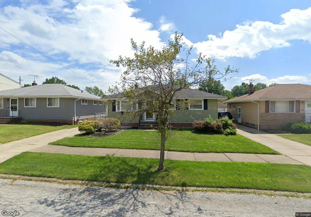
14532 Lisa Dr Maple Heights, OH 44137
Estimated Value: $157,000 - $185,000
3
Beds
1
Bath
1,172
Sq Ft
$143/Sq Ft
Est. Value
About This Home
This home is located at 14532 Lisa Dr, Maple Heights, OH 44137 and is currently estimated at $167,226, approximately $142 per square foot. 14532 Lisa Dr is a home located in Cuyahoga County with nearby schools including Abraham Lincoln Elementary School, Rockside/ J.F. Kennedy School, and Barack Obama School.
Ownership History
Date
Name
Owned For
Owner Type
Purchase Details
Closed on
Nov 16, 2011
Sold by
Clarke Neville A
Bought by
Clarke Neville A and Clarke Deliska T
Current Estimated Value
Purchase Details
Closed on
Oct 4, 2000
Sold by
Porter Mary L
Bought by
Clarke Neville A
Home Financials for this Owner
Home Financials are based on the most recent Mortgage that was taken out on this home.
Original Mortgage
$101,943
Outstanding Balance
$37,124
Interest Rate
7.9%
Mortgage Type
FHA
Estimated Equity
$130,102
Purchase Details
Closed on
Mar 19, 1993
Sold by
Brann Richard F
Bought by
Porter Mary L
Purchase Details
Closed on
Jun 29, 1987
Sold by
Brann Richard F
Bought by
Brann Richard F
Purchase Details
Closed on
Jun 22, 1987
Sold by
Bowen Dennis M
Bought by
Brann Richard F
Purchase Details
Closed on
Apr 27, 1983
Sold by
Gorog Anna
Bought by
Bowen Dennis M
Purchase Details
Closed on
Jan 1, 1975
Bought by
Gorog Anna
Create a Home Valuation Report for This Property
The Home Valuation Report is an in-depth analysis detailing your home's value as well as a comparison with similar homes in the area
Home Values in the Area
Average Home Value in this Area
Purchase History
| Date | Buyer | Sale Price | Title Company |
|---|---|---|---|
| Clarke Neville A | -- | Attorney | |
| Clarke Neville A | $102,000 | -- | |
| Porter Mary L | $89,900 | -- | |
| Brann Richard F | -- | -- | |
| Brann Richard F | $67,000 | -- | |
| Bowen Dennis M | -- | -- | |
| Gorog Anna | -- | -- |
Source: Public Records
Mortgage History
| Date | Status | Borrower | Loan Amount |
|---|---|---|---|
| Open | Clarke Neville A | $101,943 |
Source: Public Records
Tax History
| Year | Tax Paid | Tax Assessment Tax Assessment Total Assessment is a certain percentage of the fair market value that is determined by local assessors to be the total taxable value of land and additions on the property. | Land | Improvement |
|---|---|---|---|---|
| 2024 | $5,099 | $58,800 | $8,785 | $50,015 |
| 2023 | $3,465 | $33,880 | $7,490 | $26,390 |
| 2022 | $3,452 | $33,880 | $7,490 | $26,390 |
| 2021 | $3,690 | $33,880 | $7,490 | $26,390 |
| 2020 | $3,352 | $27,760 | $6,130 | $21,630 |
| 2019 | $3,223 | $79,300 | $17,500 | $61,800 |
| 2018 | $3,171 | $27,760 | $6,130 | $21,630 |
| 2017 | $3,241 | $26,390 | $4,340 | $22,050 |
| 2016 | $3,134 | $26,390 | $4,340 | $22,050 |
| 2015 | $3,109 | $26,390 | $4,340 | $22,050 |
| 2014 | $3,109 | $28,390 | $4,660 | $23,730 |
Source: Public Records
Map
Nearby Homes
- 14320 Janice Dr
- 14808 James Ave
- 14956 Carol Dr
- 13810 Martin Dr
- 14357 Turney Rd
- 14012 Wheeler Rd
- SL15 Rocky Top Ct
- 13741 Grove Dr
- 15305 Steinway Blvd
- 15 Rockytop Ct
- 6089 Dunham Rd
- 13804 Rockside Rd
- 14214 Tabor Ave
- 6425 Farmington Dr
- 6378 Valley Ranch Dr
- 6372 Valley Ranch Dr
- 15405 Turney Rd
- 13410 Hathaway Rd
- 14203 Tabor Ave
- 14404 Tokay Ave
- 14502 Lisa Dr
- 14568 Lisa Dr
- 14488 Lisa Dr
- 14584 Lisa Dr
- 14533 Rochelle Dr
- 14505 Rochelle Dr
- 14571 Rochelle Dr
- 14466 Lisa Dr
- 14491 Rochelle Dr
- 14589 Rochelle Dr
- 14569 Lisa Dr
- 14535 Lisa Dr
- 14575 Lisa Dr
- 14469 Rochelle Dr
- 14503 Lisa Dr
- 14587 Lisa Dr
- 14440 Lisa Dr
- 14602 Lisa Dr
- 14451 Rochelle Dr
- 14601 Rochelle Dr
Your Personal Tour Guide
Ask me questions while you tour the home.