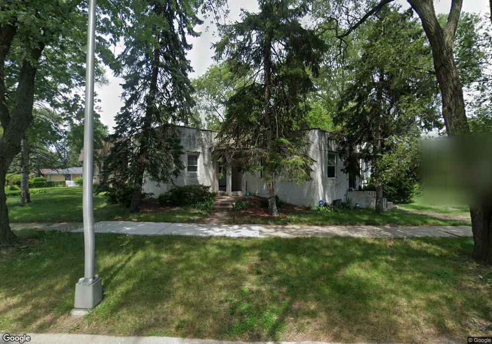
14539 Shepard Dr Dolton, IL 60419
Estimated Value: $83,000 - $158,000
3
Beds
3
Baths
814
Sq Ft
$168/Sq Ft
Est. Value
About This Home
This home is located at 14539 Shepard Dr, Dolton, IL 60419 and is currently estimated at $136,616, approximately $167 per square foot. 14539 Shepard Dr is a home located in Cook County with nearby schools including Berger-Vandenberg Elementary School, Creative Communications Academy, and School Of Fine Arts Academy.
Ownership History
Date
Name
Owned For
Owner Type
Purchase Details
Closed on
Sep 2, 1998
Sold by
Cullar Jeffery D and Cullar Donna R
Bought by
Cullar Mark and Smit Vicki
Current Estimated Value
Home Financials for this Owner
Home Financials are based on the most recent Mortgage that was taken out on this home.
Original Mortgage
$64,000
Interest Rate
11.5%
Create a Home Valuation Report for This Property
The Home Valuation Report is an in-depth analysis detailing your home's value as well as a comparison with similar homes in the area
Home Values in the Area
Average Home Value in this Area
Purchase History
| Date | Buyer | Sale Price | Title Company |
|---|---|---|---|
| Cullar Mark | $72,000 | -- |
Source: Public Records
Mortgage History
| Date | Status | Borrower | Loan Amount |
|---|---|---|---|
| Closed | Cullar Mark | $64,000 |
Source: Public Records
Tax History Compared to Growth
Tax History
| Year | Tax Paid | Tax Assessment Tax Assessment Total Assessment is a certain percentage of the fair market value that is determined by local assessors to be the total taxable value of land and additions on the property. | Land | Improvement |
|---|---|---|---|---|
| 2024 | $4,899 | $12,000 | $4,080 | $7,920 |
| 2023 | $1,142 | $12,000 | $4,080 | $7,920 |
| 2022 | $1,142 | $4,998 | $3,600 | $1,398 |
| 2021 | $1,148 | $4,998 | $3,600 | $1,398 |
| 2020 | $1,220 | $4,998 | $3,600 | $1,398 |
| 2019 | $3,499 | $8,227 | $3,360 | $4,867 |
| 2018 | $3,480 | $8,227 | $3,360 | $4,867 |
| 2017 | $3,333 | $8,227 | $3,360 | $4,867 |
| 2016 | $3,152 | $7,441 | $3,120 | $4,321 |
| 2015 | $2,967 | $7,441 | $3,120 | $4,321 |
| 2014 | $1,847 | $7,441 | $3,120 | $4,321 |
| 2013 | $3,107 | $8,078 | $3,120 | $4,958 |
Source: Public Records
Map
Nearby Homes
- 14508 Ingleside Ave
- 14640 Ingleside Ave
- 14418 Drexel Ave
- 14644 Ellis Ave
- 14429 Minerva Ave
- 14619 Minerva Ave
- 14333 Drexel Ave
- 14325 Ingleside Ave
- 14526 Cottage Grove Ave
- 14400 Shepard Dr
- 14447 University Ave
- 14320 Dobson Ave
- 14534 Woodlawn Ave
- 14647 Greenwood Rd Unit A312
- 14708 Shepard Dr
- 14635 Greenwood Rd Unit B103
- 14408 Lincoln Ave
- 14635 Woodlawn Ave
- 14405 Woodlawn Ave
- 14720 Shepard Dr
- 14515 Ingleside Ave
- 14520 Ellis Ave
- 14518 Ellis Ave
- 14524 Ellis Ave
- 14514 Ellis Ave
- 14538 Shepard Dr
- 14510 Ellis Ave
- 14534 Shepard Dr
- 14540 Shepard Dr
- 14528 Shepard Dr
- 14505 Ingleside Ave
- 14530 Ellis Ave
- 14508 Ellis Ave
- 14546 Shepard Dr
- 14526 Shepard Dr
- 14504 Ellis Ave
- 14501 Ingleside Ave
- 14548 Shepard Dr
- 14522 Shepard Dr