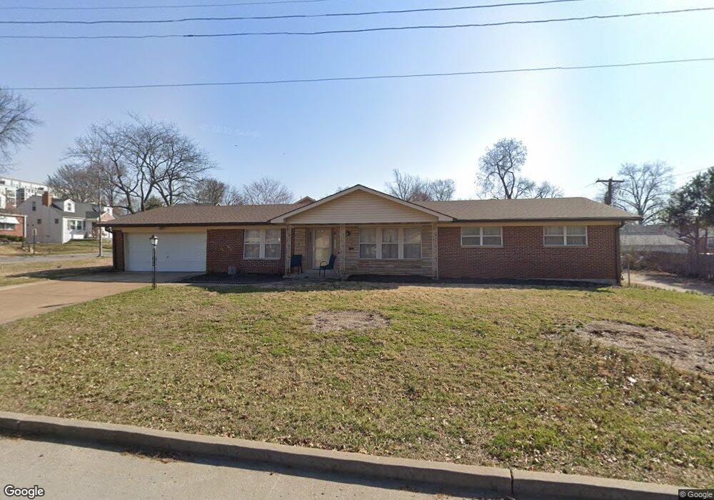
1454 Laclede Station Rd Saint Louis, MO 63117
Estimated Value: $356,000 - $417,000
3
Beds
2
Baths
1,827
Sq Ft
$213/Sq Ft
Est. Value
About This Home
This home is located at 1454 Laclede Station Rd, Saint Louis, MO 63117 and is currently estimated at $390,061, approximately $213 per square foot. 1454 Laclede Station Rd is a home located in St. Louis County with nearby schools including Maplewood Richmond Heights Elementary School, Maplewood Richmond Heights Middle School, and Maplewood-Richmond Heights High School.
Ownership History
Date
Name
Owned For
Owner Type
Purchase Details
Closed on
Apr 17, 2014
Sold by
Oredugba Marylynn E and Sims George
Bought by
Oredugba Marylynn E
Current Estimated Value
Create a Home Valuation Report for This Property
The Home Valuation Report is an in-depth analysis detailing your home's value as well as a comparison with similar homes in the area
Home Values in the Area
Average Home Value in this Area
Purchase History
| Date | Buyer | Sale Price | Title Company |
|---|---|---|---|
| Oredugba Marylynn E | -- | None Available | |
| Oredugba Marylynn E | -- | None Available | |
| Oredugba Marylynn E | -- | None Available |
Source: Public Records
Tax History Compared to Growth
Tax History
| Year | Tax Paid | Tax Assessment Tax Assessment Total Assessment is a certain percentage of the fair market value that is determined by local assessors to be the total taxable value of land and additions on the property. | Land | Improvement |
|---|---|---|---|---|
| 2025 | $4,909 | $64,730 | $38,870 | $25,860 |
| 2024 | $4,909 | $64,150 | $24,210 | $39,940 |
| 2023 | $4,866 | $64,150 | $24,210 | $39,940 |
| 2022 | $4,586 | $55,880 | $24,210 | $31,670 |
| 2021 | $4,507 | $57,560 | $24,210 | $33,350 |
| 2020 | $4,540 | $53,380 | $20,620 | $32,760 |
| 2019 | $4,504 | $53,380 | $20,620 | $32,760 |
| 2018 | $3,540 | $37,980 | $10,940 | $27,040 |
| 2017 | $3,515 | $37,980 | $10,940 | $27,040 |
| 2016 | $3,807 | $39,710 | $10,090 | $29,620 |
| 2015 | $3,578 | $39,710 | $10,090 | $29,620 |
| 2014 | $3,136 | $34,820 | $9,800 | $25,020 |
Source: Public Records
Map
Nearby Homes
- 7735 Saint Albans Ave
- 7718 W Ranken Ave
- 1501 Stockard Ave
- 7723 Dale Ave
- 7765 Weston Place
- 7716 Lovella Ave
- 7715 Dale Ave
- 1510 Banneker Ave
- 1262 Moorlands Dr
- 1250 Hampton Park Dr
- 7615 W Bruno Ave
- 1241 Strassner Dr Unit 1308
- 2030 Bland Place
- 7590 W Bruno Ave
- 1723 Mccready Ave
- 1270 Strassner Dr Unit 3110
- 7742 Wise Ave
- 7555 Alicia Ave
- 1174 Claytonia Terrace
- 7562 Folk Ave
- 7738 Snowden Ave
- 7736 Snowden Ave
- 1460 Laclede Station Rd
- 7741 Saint Albans Ave
- 7741 St Albans Ave
- 7741TBB St Albans
- 7739 Saint Albans Ave
- 1455 Laclede Station Rd
- 1451 Laclede Station Rd
- 7734 Snowden Ave
- 7741 Saint Albans Ave
- 7751 Snowden Ave
- 7755 Snowden Ave
- 1459 Laclede Station Rd
- 7737 Saint Albans Ave
- 7747 Snowden Ave
- 1463 Laclede Station Rd
- 7743 Snowden Ave
- 1445 Laclede Station Rd
- 7732 Snowden Ave