1455 Samantha Crest Trail Reno, NV 89523
Somersett NeighborhoodEstimated Value: $805,000 - $935,000
4
Beds
4
Baths
2,756
Sq Ft
$317/Sq Ft
Est. Value
About This Home
This home is located at 1455 Samantha Crest Trail, Reno, NV 89523 and is currently estimated at $874,165, approximately $317 per square foot. 1455 Samantha Crest Trail is a home with nearby schools including B D Billinghurst Middle School and Robert McQueen High School.
Ownership History
Date
Name
Owned For
Owner Type
Purchase Details
Closed on
May 8, 2018
Sold by
Dale Kevin V and Caban Dale Sherrill L
Bought by
Dale Kevin V and Caban Dale Sherrill L
Current Estimated Value
Purchase Details
Closed on
Jul 7, 2016
Sold by
Lennar Reno Llc
Bought by
Dale Kevin V and Caban Dale Sherrill L
Home Financials for this Owner
Home Financials are based on the most recent Mortgage that was taken out on this home.
Original Mortgage
$371,048
Interest Rate
4.16%
Mortgage Type
New Conventional
Create a Home Valuation Report for This Property
The Home Valuation Report is an in-depth analysis detailing your home's value as well as a comparison with similar homes in the area
Home Values in the Area
Average Home Value in this Area
Purchase History
| Date | Buyer | Sale Price | Title Company |
|---|---|---|---|
| Dale Kevin V | -- | None Available | |
| Dale Kevin V | $464,000 | North American Title Reno |
Source: Public Records
Mortgage History
| Date | Status | Borrower | Loan Amount |
|---|---|---|---|
| Previous Owner | Dale Kevin V | $371,048 |
Source: Public Records
Tax History Compared to Growth
Tax History
| Year | Tax Paid | Tax Assessment Tax Assessment Total Assessment is a certain percentage of the fair market value that is determined by local assessors to be the total taxable value of land and additions on the property. | Land | Improvement |
|---|---|---|---|---|
| 2025 | $5,621 | $212,062 | $73,588 | $138,475 |
| 2024 | $5,621 | $207,253 | $68,614 | $138,639 |
| 2023 | $5,457 | $205,061 | $74,400 | $130,662 |
| 2022 | $5,299 | $162,077 | $53,998 | $108,079 |
| 2021 | $5,144 | $148,783 | $41,615 | $107,168 |
| 2020 | $4,992 | $146,232 | $39,382 | $106,850 |
| 2019 | $4,847 | $142,330 | $40,850 | $101,480 |
| 2018 | $4,706 | $129,829 | $31,008 | $98,821 |
| 2017 | $4,585 | $127,593 | $29,132 | $98,461 |
| 2016 | $529 | $14,450 | $13,563 | $887 |
| 2015 | $701 | $19,162 | $17,732 | $1,430 |
| 2014 | -- | $0 | $0 | $0 |
Source: Public Records
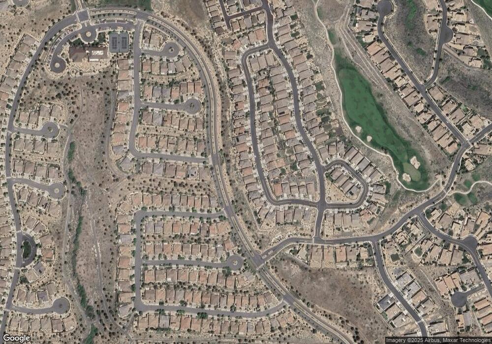
Map
Nearby Homes
- 9172 Mount Pleasant Dr
- 9145 Spruce Creek Ct
- 1670 Heavenly View Trail
- 9052 Cabin Creek Trail
- 1671 Crescent Pointe Ct
- 1825 Star Bright Way
- 1591 Elk Run Trail
- 1899 Star Bright Way
- 2020 Heavenly View Trail
- 1710 Trail Creek Way
- 1640 Scott Valley Rd
- 1725 Scott Valley Rd
- 1590 Scott Valley Rd
- 8770 Lost Creek Ct
- 8750 Lost Creek Ct
- 1810 Evergreen Ridge Way
- 1395 Walking Stick Way
- 1835 Trail Creek Way
- 2220 Heavenly View Trail
- 2165 Tara Ridge Trail
- 1435 Samantha Crest Trail
- 1475 Samantha Crest Trail
- 1495 Samantha Crest Trail
- 1415 Samantha Crest Trail
- 1450 Samantha Crest Trail
- 1395 Samantha Crest Trail
- 1515 Samantha Crest Trail
- 1430 Samantha Crest Trail
- 1470 Samantha Crest Trail
- 1490 Samantha Crest Trail
- 1535 Samantha Crest Trail
- 9095 Sydmesa Dr
- 1510 Samantha Crest Trail
- 1555 Samantha Crest Trail
- 9075 Sydmesa Dr
- 1355 Samantha Crest Trail
- 1530 Samantha Crest Trail
- 1515 Cricketwood Cir
- 9105 Bay Meadows Dr
- 1550 Samantha Crest Trail